Old Maps of Carney, Oklahoma for Genealogy
Trace your family roots with 19 historic maps of Carney. These high-res maps reveal old neighborhoods, homesites, landmarks, and streets — helping you uncover where your ancestors lived and how the area evolved over time.
- Explore historic neighborhoods: Identify where your relatives may have lived in the 1800s or 1900s.
- Compare maps over time: Trace the changes in streets, buildings, and landmarks for multi-generational research.
- Perfect for genealogy & ancestry research: Used by family historians and researchers to map out lineage and migration.
These maps are an incredible resource for exploring your personal connection to Carney's past.
Carney, OK maps
(19)- 1908 Map of Agra
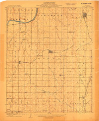 1908 Agra1908 Print · USGSAs the Oklahoma Territory transitioned into statehood, this area was a bustling network of new rail lines and rural school districts. Researchers can trace early township developments and family-centric landmarks like Free Silver School, the riverside stop at Cottingham, or the junction at Agra.3 unique versions available
 - 1909 Map of Perkins
 1909 Perkins1909 Print · USGSOklahoma Territory near the turn of the century is a landscape of new rail-side towns and scattered one-room schoolhouses. Genealogists and historians can trace family roots through dozens of named sites like Vim PO, Mt Bethel Church, and Eagle College School.4 unique versions available
 - 1954 Map of Oklahoma City
 1954 Oklahoma City1954 Print · USGSOklahoma City and its surrounding counties are captured here in the early fifties during a period of significant postwar growth. Researchers can trace the development of the Turner Turnpike and locate aviation hubs like Tinker Field or Will Rogers Field.
 - 1957 Map of Oklahoma City, 1969 Print
 1957 Oklahoma City1969 Print · USGSCentral Oklahoma is captured here in a period of significant mid-century growth and industrialization. Researchers can trace family roots through numerous rural markers like Memory Lane Cem, New Hope School, and the sprawling grounds of Tinker Air Force Base.3 unique versions available
 - 1963 Map of Oklahoma City
 1963 Oklahoma City1963 Print · USGSCentral Oklahoma in the early sixties showcases a landscape of rapid suburban growth and established oil production. Researchers can trace historic rail lines like the Chicago Rock Island and Pacific RR or locate rural landmarks such as Mayflower School and Bethel Church.
 - 1975 Map of Tryon South, 1979 Print
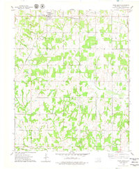 1975 Tryon South1979 Print · USGSLincoln County, Oklahoma, in the mid-seventies reveals a landscape defined by petroleum extraction and early rail corridors. Researchers can locate active Oil Wells and a central Oil Field alongside rural landmarks like Valley Queen Cem and the Rock Spring Cem.
 - 1978 Map of Carney, 1979 Print
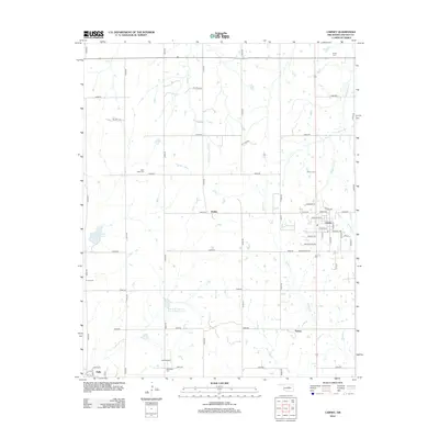
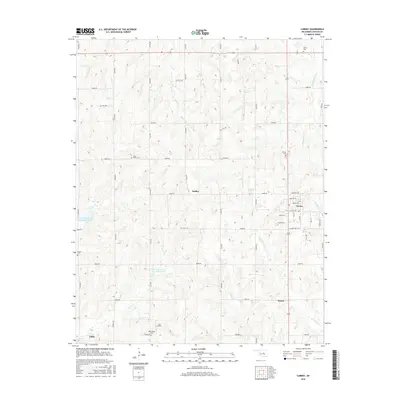
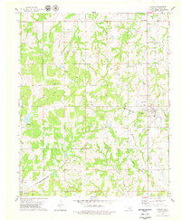 1978 Carney1979 Print · USGSCarney and the surrounding Iowa and Tohee townships are captured here in the late seventies as the region balanced its agricultural roots with a growing petroleum industry. Researchers can trace ancestral sites at Bethlehem Cem and Forest Cem or follow the route of the Missouri-Kansas-Texas rail line.
 - 1990 Map of Oklahoma City North
 1990 Oklahoma City North1990 Print · USGSOklahoma City and its northern reaches are captured in the 1990s as suburban growth stretched toward the Cimarron River. Genealogists and historians can trace rail-town legacies along the Atchison Topeka and Santa Fe Railroad and find landmarks like the El Reno Federal Reformatory.
 - 1990 Map of Bristow
 1990 Bristow1990 Print · USGSCentral Oklahoma's township and range grid is on full display in the 1990s, anchored by the crossroads at Bristow and Sapulpa. Researchers can trace old community lines and regional landmarks from Heyburn Reservoir to the historic streets of Boley.
 - 2010 Map of Carney, 2010 Print
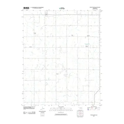
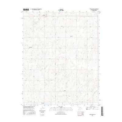
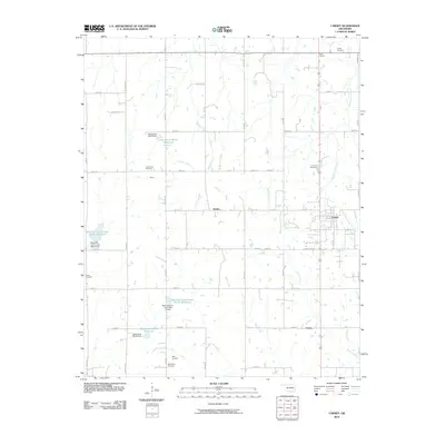 2010 Carney2010 Print · USGSCovers Carney, including Fallis, Emsey, and other nearby areas
 - 2010 Map of Tryon South, 2010 Print
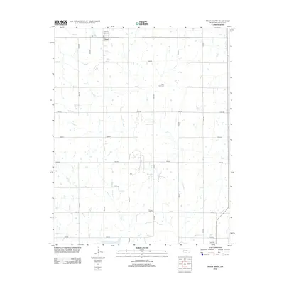
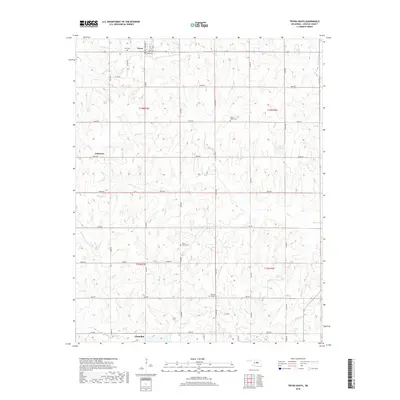
 2010 Tryon South2010 Print · USGSCovers Carney, including Chandler, Tryon, and other nearby areas
 - 2012 Map of Tryon South, 2012 Print
 2012 Tryon South2012 Print · USGSCovers Carney, including Chandler, Tryon, and other nearby areas
 - 2012 Map of Carney, 2012 Print
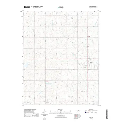
 2012 Carney2012 Print · USGSCovers Carney, including Fallis, Emsey, and other nearby areas
 - 2016 Map of Carney, 2016 Print
 2016 Carney2016 Print · USGSCovers Carney, including Fallis, Emsey, and other nearby areas
 - 2016 Map of Tryon South, 2016 Print
 2016 Tryon South2016 Print · USGSCovers Carney, including Chandler, Tryon, and other nearby areas
 - 2018 Map of Carney, 2018 Print
 2018 Carney2018 Print · USGSCovers Carney, including Fallis, Emsey, and other nearby areas
 - 2018 Map of Tryon South, 2018 Print
 2018 Tryon South2018 Print · USGSCovers Carney, including Chandler, Tryon, and other nearby areas
 - 2022 Map of Carney, 2022 Print
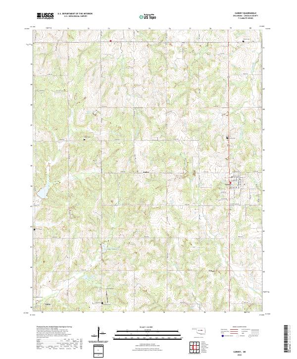 2022 Carney2022 Print · USGSCentral Oklahoma settlement and rural infrastructure are captured here in the early twenty-first century. Genealogists and local historians can trace legacy sites like Iowa Mission Cem and Bethlehem Cem near the towns of Carney and Fallis.
 - 2022 Map of Tryon South, 2022 Print
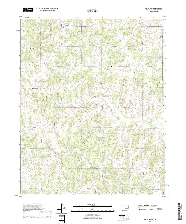 2022 Tryon South2022 Print · USGSThe area around Tryon and Anderson shows a landscape of rural family farms and community hubs during the early twenty-first century. Researchers can trace local lineage at Tryon Cem, Rock Spring Cem, and Valley Queen Cem.
End of results
Showing maps 1-19 of 19
Top cities near Carney
- Oklahoma City historical maps
- Cushing historical maps
- Chandler historical maps
- Perkins historical maps
- Luther historical maps
- Wellston historical maps
See more
Frequently asked questions
- What are the different types of historical maps available for Carney?
- What is the oldest map of Carney?
- Where can I purchase historical maps of Carney for my home or office?
- Where can I download high-res historical maps of Carney?
- Are there historical topographic maps available for Carney?
- Is there historical aerial imagery available for Carney?
- Where are historical maps of Carney sourced from?