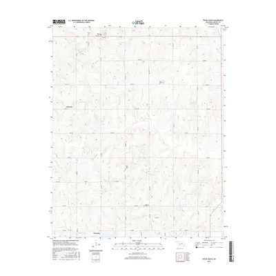
2016 Map of Tryon South
USGS Topo · Published 2016About this map
Chandler anchor the southern edge of this Oklahoma landscape, situated where Bellcow Cr and N Bellcow Cr meet. The area is defined by its rural grid of section roads and a series of stream valleys, including the winding courses of Dry Cr, Olive Cr, and Sand Cr. These waterways dictate the local topography as they drain toward the larger creeks. To the north, the small settlement of Tryon is notable for its intersection of Birch Ave and numbered streets.
Find a feature on this map
45 named features on this map. Tap any name to fly to it.
Don’t see what you’re looking for? This feature index may not catch every label — zoom into the map to look around manually.
Map Details
Editions of this 2016 Tryon South Map
This is the sole edition of this map. No revisions or reprints were ever made.
Other maps of this area

1905 · Chandler
USGS Topo · 1:62,500

1907 · Chandler
USGS Topo · 1:62,500

1908 · Agra
USGS Topo · 1:62,500

1909 · Luther
USGS Topo · 1:62,500

1909 · Perkins
USGS Topo · 1:62,500

1954 · Oklahoma City
USGS Topo · 1:250,000

1957 · Oklahoma City
USGS Topo · 1:250,000

1963 · Oklahoma City
USGS Topo · 1:250,000
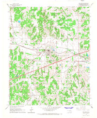
1966 · Wellston
USGS Topo · 1:24,000
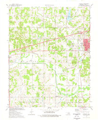
1974 · Chandler
USGS Topo · 1:24,000