Old Maps of Meeker, Oklahoma for Hiking & Exploration
Hike through history with 21 historic maps of Meeker. Explore old trails, ghost towns, and forgotten backroads — perfect for outdoor adventurers and local explorers.
- Rediscover forgotten places: Map out old mining camps, roads, and footpaths that no longer exist on modern maps.
- Layer with modern tools: Combine with LiDAR or satellite views to plan hikes through historical terrain.
- Made for exploration: Popular among hikers, overlanders, and local history lovers.
Use these maps to find adventure and explore the hidden past of Meeker.
Meeker, OK maps
(21)- 1896 Map of Seminole and Prague
 1896 Seminole and Prague1896 Print · USGSOklahoma Territory and tribal nations meet in the mid-1890s along the North Fork Canadian River. Researchers can trace early tribal boundaries and find vanished locations like Mekosukey, Heliswa, and the Seminole Creek Nation Boundary.
 - 1905 Map of Chandler, 1968 Print
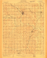
 1905 Chandler1968 Print · USGSLincoln County was a bustling intersection of railroads and river valleys in the years just before Oklahoma statehood. Researchers can trace early rural life through numerous country schools like Red Eagle Sch and Sweet Home Sch or locate homesteads near Chandler and Sparks.
 - 1907 Map of Chandler
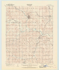
 1907 Chandler1907 Print · USGSOklahoma Territory was on the cusp of statehood when this survey recorded Lincoln County’s burgeoning rail towns. Local historians can trace the early footprints of Chandler and Davenport, or locate smaller sites like Midlothian and Payson along the Deep Fork Canadian River.2 unique versions available
 - 1909 Map of Shawnee
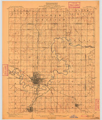 1909 Shawnee1909 Print · USGSPottawatomie County thrives as a booming rail and agricultural center in the first years of Oklahoma statehood. Genealogists can trace the early grids of Shawnee and Tecumseh or find rural landmarks like Shawnee Mission and Econtuchka.3 unique versions available
 - 1954 Map of Oklahoma City
 1954 Oklahoma City1954 Print · USGSOklahoma City and its surrounding counties are captured here in the early fifties during a period of significant postwar growth. Researchers can trace the development of the Turner Turnpike and locate aviation hubs like Tinker Field or Will Rogers Field.
 - 1957 Map of Oklahoma City, 1969 Print
 1957 Oklahoma City1969 Print · USGSCentral Oklahoma is captured here in a period of significant mid-century growth and industrialization. Researchers can trace family roots through numerous rural markers like Memory Lane Cem, New Hope School, and the sprawling grounds of Tinker Air Force Base.3 unique versions available
 - 1963 Map of Oklahoma City
 1963 Oklahoma City1963 Print · USGSCentral Oklahoma in the early sixties showcases a landscape of rapid suburban growth and established oil production. Researchers can trace historic rail lines like the Chicago Rock Island and Pacific RR or locate rural landmarks such as Mayflower School and Bethel Church.
 - 1967 Map of Aydelotte, 1968 Print
 1967 Aydelotte1968 Print · USGSThe Lincoln and Pottawatomie county line in central Oklahoma is shown here in the late sixties as the local oil industry and rail network shaped the landscape. Researchers can trace the Atchison Topeka and Santa Fe tracks past Aydelotte and locate the North Rock Creek Sch.3 unique versions available
 - 1974 Map of Meeker, 1977 Print
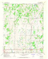
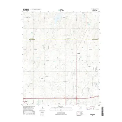
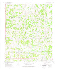 1974 Meeker1977 Print · USGSMeeker and its surrounding Lincoln County townships are shown here in the 1970s as an established agricultural and oil-producing landscape. Researchers can trace family sites near Hortons Chapel, Forest Ch, and the Atchison Topeka and Santa Fe rail line.
 - 1985 Map of Shawnee
 1985 Shawnee1985 Print · USGSCentral Oklahoma in the mid-eighties shows a landscape shaped by the North Canadian River and a maturing highway network. Trace family roots and old rail lines through Holdenville, Seminole, and the grounds of St Gregory College.2 unique versions available
 - 1990 Map of Bristow
 1990 Bristow1990 Print · USGSCentral Oklahoma's township and range grid is on full display in the 1990s, anchored by the crossroads at Bristow and Sapulpa. Researchers can trace old community lines and regional landmarks from Heyburn Reservoir to the historic streets of Boley.
 - 2009 Map of Meeker, 2009 Print
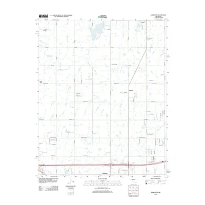
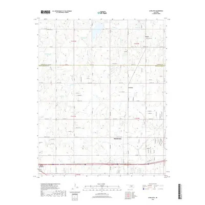
 2009 Meeker2009 Print · USGSCovers Meeker, including Rossville, Clifton, and other nearby areas
 - 2010 Map of Aydelotte, 2010 Print
 2010 Aydelotte2010 Print · USGSCovers Meeker, including Shawnee, Aydelotte, and other nearby areas
 - 2012 Map of Meeker, 2012 Print
 2012 Meeker2012 Print · USGSCovers Meeker, including Rossville, Clifton, and other nearby areas
 - 2012 Map of Aydelotte, 2012 Print
 2012 Aydelotte2012 Print · USGSCovers Meeker, including Shawnee, Aydelotte, and other nearby areas
 - 2016 Map of Meeker, 2016 Print
 2016 Meeker2016 Print · USGSCovers Meeker, including Rossville, Clifton, and other nearby areas
 - 2016 Map of Aydelotte, 2016 Print
 2016 Aydelotte2016 Print · USGSCovers Meeker, including Shawnee, Aydelotte, and other nearby areas
 - 2018 Map of Meeker, 2018 Print
 2018 Meeker2018 Print · USGSCovers Meeker, including Rossville, Clifton, and other nearby areas
 - 2018 Map of Aydelotte, 2018 Print
 2018 Aydelotte2018 Print · USGSCovers Meeker, including Shawnee, Aydelotte, and other nearby areas
 - 2022 Map of Aydelotte, 2022 Print
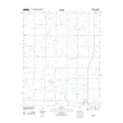
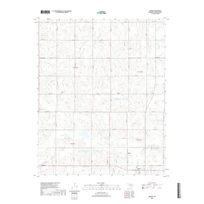
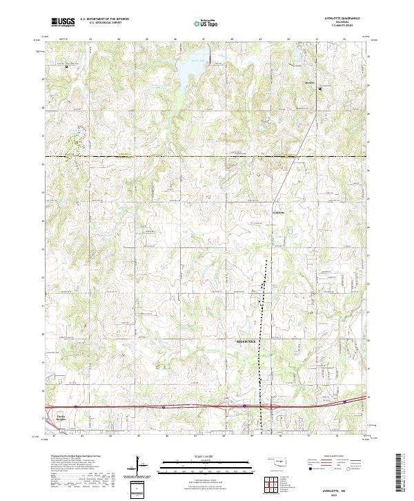 2022 Aydelotte2022 Print · USGSThe Oklahoma prairie between Meeker and Shawnee is documented here in the early twenty-first century, showing a network of rural roads and water reservoirs. Trace local family history at New Hope Cem or Centerville Cem, and follow the drainages of Rock Cr toward the North Canadian River.
 - 2022 Map of Meeker, 2022 Print
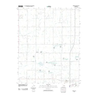
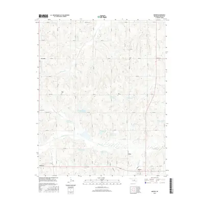
 2022 Meeker2022 Print · USGSMeeker and its surrounding Lincoln County countryside are documented in this contemporary survey of central Oklahoma. Researchers can trace the rural communities of Rossville and Clifton or locate family burial sites at Horton Chapel Cem and Forest Cem.
End of results
Showing maps 1-21 of 21
Top cities near Meeker
- Shawnee historical maps
- Seminole historical maps
- Tecumseh historical maps
- McLoud historical maps
- Chandler historical maps
- Bethel Acres historical maps
See more
Frequently asked questions
- What are the different types of historical maps available for Meeker?
- What is the oldest map of Meeker?
- Where can I purchase historical maps of Meeker for my home or office?
- Where can I download high-res historical maps of Meeker?
- Are there historical topographic maps available for Meeker?
- Is there historical aerial imagery available for Meeker?
- Where are historical maps of Meeker sourced from?