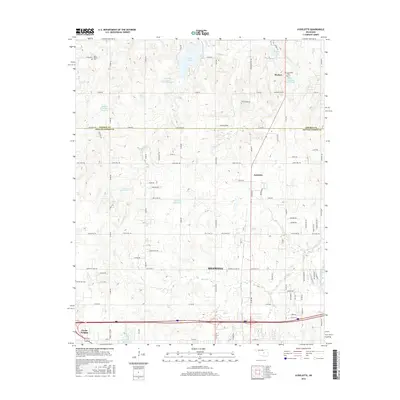
2016 Map of Aydelotte
USGS Topo · Published 2016About this map
Meeker and the northern outskirts of Shawnee anchor this landscape along the border of Lincoln and Pottawatomie Counties. The area is defined by a dense network of water management features, including Quapaw Creek Site 13 Reservoir, Meeker Lake, and the Bob White Reservoir, which serve the local agricultural and residential communities. In the southern portion of the map, the North Canadian River flows near Clarks Heights and Elks Club Lake, marking a distinct shift in the terrain as it approaches the urban edge of Shawnee. Genealogists will find significant value in the distribution of local burial grounds such as New Salem Cem, New Hope Cem, and Centerville Cem, which remain as key landmarks in this rural Oklahoma corridor. The map details a transition from the structured residential blocks of the city to the expansive section-line road systems of the surrounding countryside.
Find a feature on this map
86 named features on this map. Tap any name to fly to it.
Don’t see what you’re looking for? This feature index may not catch every label — zoom into the map to look around manually.
Map Details
Editions of this 2016 Aydelotte Map
This is the sole edition of this map. No revisions or reprints were ever made.
Other maps of this area

1896 · Seminole and Prague
USGS Topo · 1:125,000

1898 · Purcell
USGS Topo · 1:125,000

1905 · Chandler
USGS Topo · 1:62,500

1907 · Chandler
USGS Topo · 1:62,500

1909 · Shawnee
USGS Topo · 1:62,500

1909 · Luther
USGS Topo · 1:62,500

1930 · McLoud
USGS Topo · 1:62,500

1954 · Oklahoma City
USGS Topo · 1:250,000

1957 · Oklahoma City
USGS Topo · 1:250,000

1963 · Oklahoma City
USGS Topo · 1:250,000