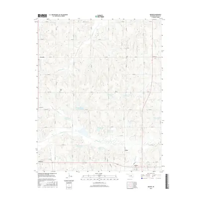
2016 Map of Meeker
USGS Topo · Published 2016About this map
Quapaw Cr and its complex system of watershed management reservoirs dominate the landscape south of Rossville. This Oklahoma terrain is defined by the winding paths of Kickapoo Cr and Coon Cr, which drain the rolling lands near Clifton. The map reveals a high density of rural burial grounds, including Horton Chapel Cem and Saint Paul Cem, providing essential points of reference for genealogists tracing local families. The town of Meeker sits at the southern edge of this grid-iron road network, where Veterans DR and Koonce ST serve as primary local thoroughfares. The distribution of these small settlements and cemeteries suggests a long-established agricultural community structured around the vital water resources of the Quapaw Creek basin, with features like Breeze Hill Rd marking the subtle elevations of the Lincoln County countryside.
Find a feature on this map
58 named features on this map. Tap any name to fly to it.
Don’t see what you’re looking for? This feature index may not catch every label — zoom into the map to look around manually.
Map Details
Editions of this 2016 Meeker Map
This is the sole edition of this map. No revisions or reprints were ever made.
Other maps of this area

1896 · Seminole and Prague
USGS Topo · 1:125,000

1898 · Purcell
USGS Topo · 1:125,000

1905 · Chandler
USGS Topo · 1:62,500

1907 · Chandler
USGS Topo · 1:62,500

1909 · Shawnee
USGS Topo · 1:62,500

1909 · Luther
USGS Topo · 1:62,500

1930 · McLoud
USGS Topo · 1:62,500

1954 · Oklahoma City
USGS Topo · 1:250,000

1957 · Oklahoma City
USGS Topo · 1:250,000

1963 · Oklahoma City
USGS Topo · 1:250,000