2010s Maps of Guthrie, Oklahoma
Explore 30 historic maps of Guthrie from the 2010s. These maps offer a rare glimpse into what life looked like during the 2010s — showing old roads, neighborhoods, homes, and landmarks that have changed or disappeared over time.
Whether you're researching your family's past, planning a metal detecting trip, or studying how Guthrie's landscape evolved across the 2010s, these high-resolution maps are a powerful tool for exploring the history of this region.
- Focus on a specific era: All maps on this page are from the 2010s, giving you a focused view of this time period.
- See what’s changed: Compare century-old streets, trails, and buildings to today's modern landscape using overlays and satellite layers.
- Research with precision: Use these maps for genealogy, historical research, land use analysis, or educational projects.
- View, download, or print: Maps are fully viewable online in high resolution, and can be downloaded or printed for your own records.
Start exploring Guthrie's history through authentic maps from the 2010s. This is your window into the past.
Guthrie, OK maps
(30)- 2010 Map of Guthrie South, 2010 Print
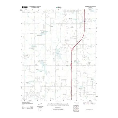 2010 Guthrie South2010 Print · USGSThe rural landscape south of Guthrie was a hub of energy production and water management in the early twenty-first century. Researchers can trace family sites near Seward Cemetery or explore the infrastructure of the East Guthrie Lake Gas and Oil Field and Guthrie Lake.
 - 2010 Map of Langston, 2010 Print
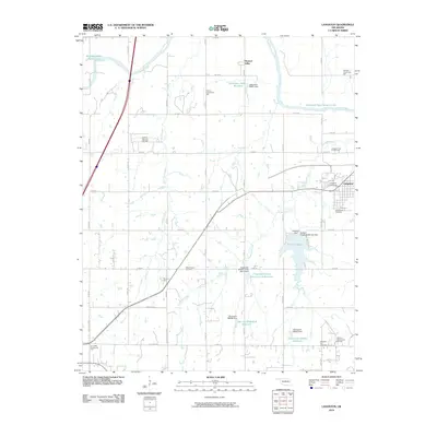 2010 Langston2010 Print · USGSLangston and the surrounding Oklahoma countryside are documented here in the early twenty-first century as the region balanced education and energy production. Researchers can locate Langston University, trace the Cimarron River, and find local landmarks like Oakdale Community Hall and Mount Hope Cemetery.
 - 2010 Map of Arcadia, 2010 Print
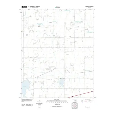 2010 Arcadia2010 Print · USGSNear Oklahoma City during the early twenty-first century, this area shows a landscape of engineered reservoirs and growing rural subdivisions. Researchers can locate family landmarks like Donnell Cemetery or trace the early energy footprint of the Coon Creek Gas and Oil Field.
 - 2012 Map of Guthrie South, 2012 Print
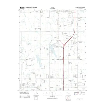 2012 Guthrie South2012 Print · USGSSouthern Logan County comes into focus in the early 2010s, capturing the suburban and industrial expansion surrounding Guthrie. Genealogists and historians can locate several rural burial grounds like Seward Cem and Taylor's Cem or trace the East Guthrie Lake Gas and Oil Field.
 - 2012 Map of Bethany NE, 2012 Print
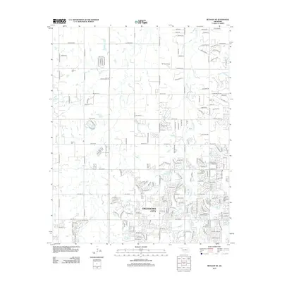 2012 Bethany NE2012 Print · USGSOklahoma City's northern fringe shows a unique mix of residential growth and ranching heritage in the early 21st century. Researchers can locate family landmarks like Christner Cem and trace the drainage of Bloody Rush Cr past the 5B Ranch Airport.
 - 2012 Map of Guthrie SE, 2012 Print
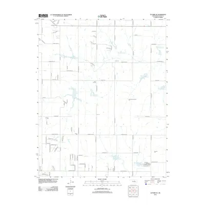 2012 Guthrie SE2012 Print · USGSSoutheast of Guthrie in the early 2010s, this landscape reveals a modern Oklahoma rural interior defined by watershed reservoirs and energy production. Researchers can trace family history at Cooper Cem and Rising Sun Cem or locate the Northwest Evansville Oil Field.
 - 2012 Map of Arcadia, 2012 Print
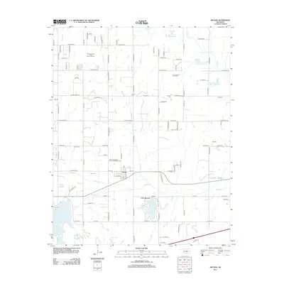 2012 Arcadia2012 Print · USGSOklahoma County's agricultural and energy landscapes are captured here in the early 2010s near the historic town of Arcadia. Researchers can locate several family-named burial grounds including Spigener Cem and Gower Cem, alongside the Coon Creek Gas and Oil Field.
 - 2012 Map of Crescent, 2012 Print
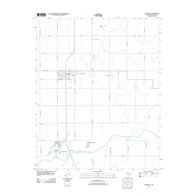 2012 Crescent2012 Print · USGSCrescent and the Logan County plains are captured here in the early twenty-first century, showcasing a landscape shaped by oil and water. Genealogists can locate Knowles Cem and Mt Hope Cem, while others may trace the growth of Cimarron City along the Cimarron River.
 - 2012 Map of Guthrie North, 2012 Print
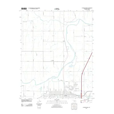 2012 Guthrie North2012 Print · USGSGuthrie and the Cimarron River valley are captured here in the early twenty-first century as the city's reach extends north. Researchers can trace the boundaries of the West Lawrie Oil Field or locate ancestral sites at Lawrie Cem and Summit View Cem.
 - 2012 Map of Navina, 2012 Print
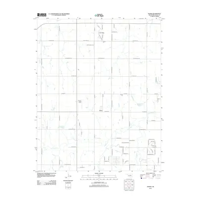 2012 Navina2012 Print · USGSSouthwestern Logan County appears here in the early twenty-first century as it balances its agricultural roots with growing residential enclaves. Genealogists and local historians can locate Harmony Cem, the community of Navina, and private airstrips like Hawk Haven Airport.
 - 2012 Map of Edmond, 2012 Print
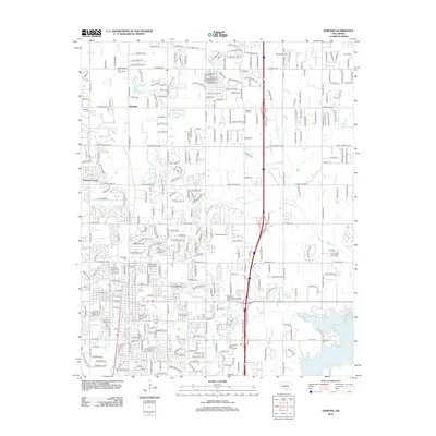 2012 Edmond2012 Print · USGSOklahoma's suburban growth and energy heritage are on display in this 2012 survey of the Edmond area. Genealogists and researchers can locate Univ of Central Oklahoma, the North Waterloo Gas and Oil Field, and several local burial grounds like Gracelawn Cem.
 - 2013 Map of Langston, 2013 Print
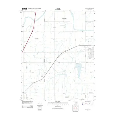 2013 Langston2013 Print · USGSLangston and the surrounding Oklahoma countryside are captured here in the early twenty-first century, showing a landscape of oil fields and historic cemeteries. Genealogists can locate Mt Hope Cem, Pleasant Hill Cem, and local gathering spots like Victory Community Hall.
 - 2016 Map of Guthrie South, 2016 Print
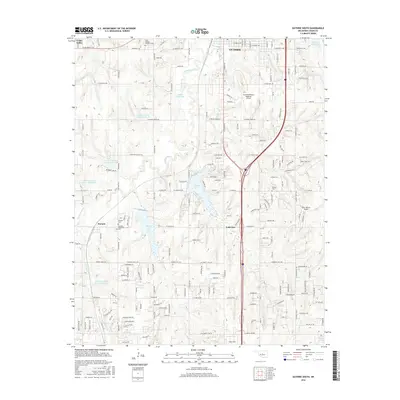 2016 Guthrie South2016 Print · USGSLogan County’s landscape is captured here in the mid-2010s, showing a mix of growing aviation hubs and rural heritage sites. Researchers can locate family history at Seward Cemetery or trace the development around Guthrie Lake and Liberty Lake.
 - 2016 Map of Guthrie North, 2016 Print
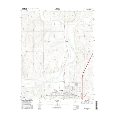 2016 Guthrie North2016 Print · USGSGuthrie and the Cimarron River valley are captured here during a period of modern growth and historical preservation in Logan County. Researchers can locate several community burial sites like Rosenwald Community Cem and the northern outskirts of Guthrie near Cottonwood Creek.
 - 2016 Map of Guthrie SE, 2016 Print
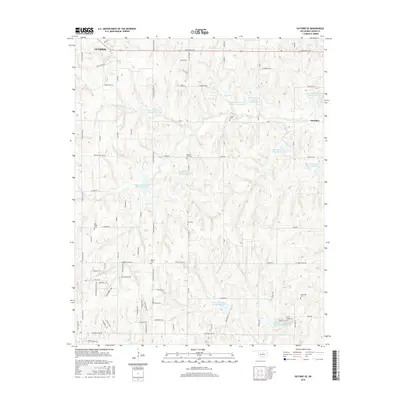 2016 Guthrie SE2016 Print · USGSGuthrie and the township of Meridian are shown here in the mid-2010s amidst a complex landscape of creek-fed reservoirs and rural homesteads. Researchers can locate several historic burial sites like Rising Sun Cem and Evansville Cem or trace the drainage of Bear Creek.
 - 2016 Map of Bethany NE, 2016 Print
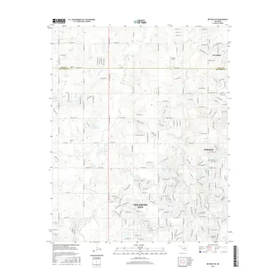 2016 Bethany NE2016 Print · USGSThe northern edge of the Oklahoma City metro area is captured here during a period of significant suburban growth. Genealogists can locate family burial sites at Christner Cem and Whisler Cem, while tracing local waterways like Bloody Rush Cr and Deer Cr.
 - 2016 Map of Crescent, 2016 Print
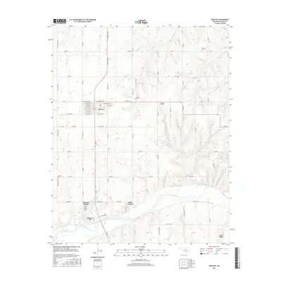 2016 Crescent2016 Print · USGSLogan County in the mid-2010s shows a landscape of river-valley settlements and well-established rural grids. You can trace family plots at Mount Hope Cem or explore the developed corridors of Cimarron City and Crescent Springs along the Cimarron River.
 - 2016 Map of Navina, 2016 Print
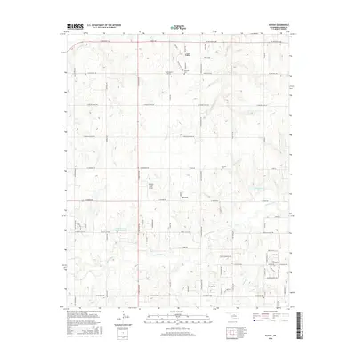 2016 Navina2016 Print · USGSSouthern Logan County in the mid-2010s shows a landscape of steady rural development and established homesteads. Researchers can trace local lineage through Fairview Cem or locate the regional landmarks of Navina and Hawk Haven Airport.
 - 2016 Map of Arcadia, 2016 Print
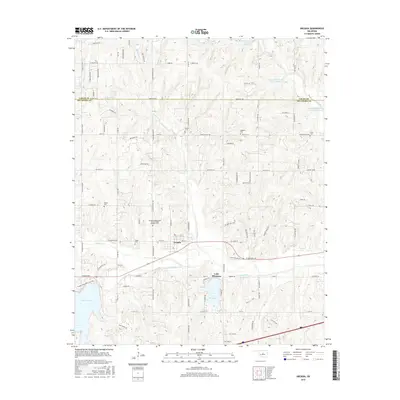 2016 Arcadia2016 Print · USGSOklahoma County in the mid-2010s shows a landscape of suburban growth and carefully managed waterways. Genealogists and local historians can locate several family and fraternal burial sites, including Tudor Cem, Sweat Cem, and the Arcadia Independent Order of Odd Fellows Cem.
 - 2016 Map of Edmond, 2016 Print
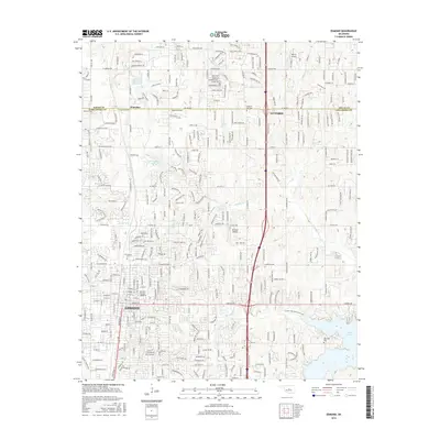 2016 Edmond2016 Print · USGSEdmond and the surrounding Logan and Oklahoma County borderlands are shown here in the mid-2010s, capturing a landscape of university growth and suburban expansion. Researchers can find burial sites like Waterloo Cem and local aviation history at Edmond Airport.
 - 2016 Map of Langston, 2016 Print
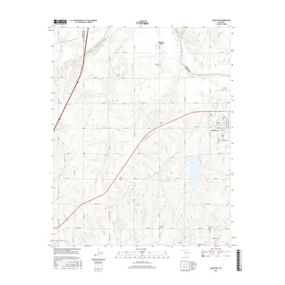 2016 Langston2016 Print · USGSLangston and the surrounding Oklahoma plains are documented here in the early twenty-first century, centered on the historic university campus. Researchers can trace local lineage through several burial sites like Iowa City Cem, Holy Family Cem, and Mount Hope Cem.
 - 2018 Map of Navina, 2018 Print
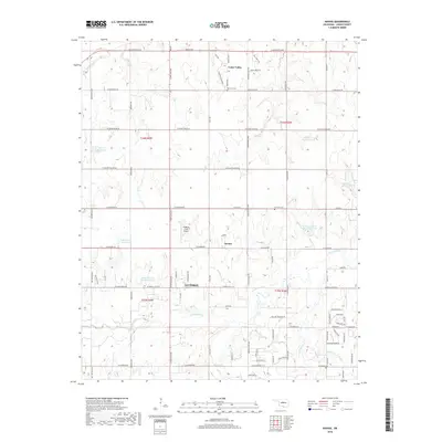 2018 Navina2018 Print · USGSLogan County’s rural transitions are on display here in the late 2010s, showing the landscape surrounding the historic hub of Guthrie. Researchers can trace the family lands near Navina, find the Fairview Cemetery, and follow the winding course of Cottonwood Creek.
 - 2018 Map of Guthrie SE, 2018 Print
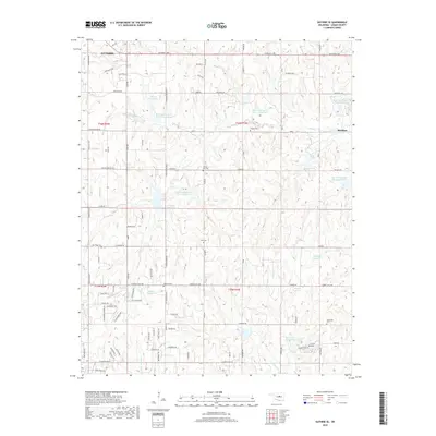 2018 Guthrie SE2018 Print · USGSSoutheast of Guthrie in Logan County, the late twenty-teens landscape is a mix of traditional prairie agriculture and an extensive network of flood-control reservoirs. Researchers can locate family burial sites at Rising Sun Cem and Evansville Cem or trace the drainages of Bear Cr and Coon Cr.
 - 2018 Map of Crescent, 2018 Print
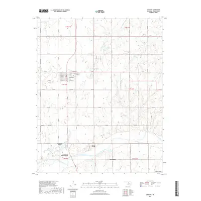 2018 Crescent2018 Print · USGSLogan County at the dawn of the 2020s reveals a landscape of river-valley settlements and quiet country cemeteries. Local historians can trace the growth of Crescent and the riverside communities of Cimarron City and Crescent Springs along the Cimarron River.
 - 2018 Map of Bethany NE, 2018 Print
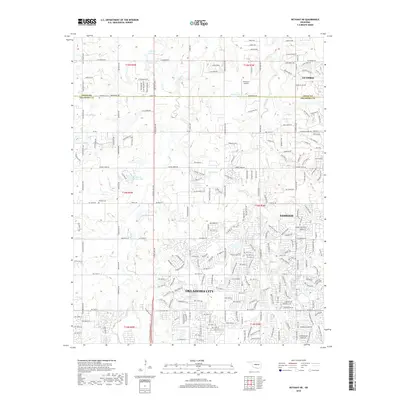 2018 Bethany NE2018 Print · USGSOklahoma City and Edmond meet along the county line in the late 2010s as suburban growth moves north toward Guthrie. Researchers can locate family sites at Christner Cem and Whisler Cem or trace the winding course of Deer Creek.
Showing maps 1-25 of 30
Top cities near Guthrie
- Oklahoma City historical maps
- Edmond historical maps
- Piedmont historical maps
- Jones historical maps
- Langston historical maps
- Crescent historical maps
See more
Top neighborhoods of Guthrie
Frequently asked questions
- What are the different types of historical maps available for Guthrie?
- What is the oldest map of Guthrie?
- Where can I purchase historical maps of Guthrie for my home or office?
- Where can I download high-res historical maps of Guthrie?
- Are there historical topographic maps available for Guthrie?
- Is there historical aerial imagery available for Guthrie?
- Where are historical maps of Guthrie sourced from?