2010s Maps of Marshall County, Oklahoma
Explore 55 historic maps of Marshall County from the 2010s. These maps offer a rare glimpse into what life looked like during the 2010s — showing old roads, neighborhoods, homes, and landmarks that have changed or disappeared over time.
Whether you're researching your family's past, planning a metal detecting trip, or studying how Marshall County's landscape evolved across the 2010s, these high-resolution maps are a powerful tool for exploring the history of this region.
- Focus on a specific era: All maps on this page are from the 2010s, giving you a focused view of this time period.
- See what’s changed: Compare century-old streets, trails, and buildings to today's modern landscape using overlays and satellite layers.
- Research with precision: Use these maps for genealogy, historical research, land use analysis, or educational projects.
- View, download, or print: Maps are fully viewable online in high resolution, and can be downloaded or printed for your own records.
Start exploring Marshall County's history through authentic maps from the 2010s. This is your window into the past.
Marshall County, OK maps
(55)- 2010 Map of Milburn, 2010 Print
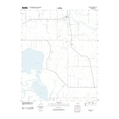 2010 Milburn2010 Print · USGSMilburn and the surrounding Johnston County countryside are captured here just after the first decade of the millennium. Researchers can trace family roots through the Harris Cemetery and Bee Cemetery or explore the shoreline near Nida.
 - 2010 Map of Little City, 2010 Print
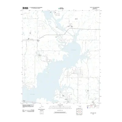 2010 Little City2010 Print · USGSThe northern shores of Lake Texoma are captured here in the early twenty-first century, showcasing a blend of frontier history and modern energy production. Researchers can locate Fort Washita and its associated Confederate Cemetery, or trace the extent of the Cumberland Oil Field.
 - 2010 Map of Kingston North, 2010 Print
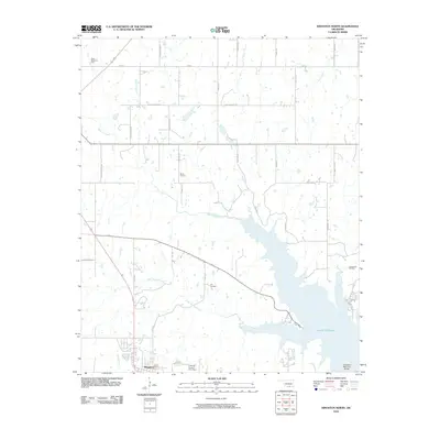 2010 Kingston North2010 Print · USGSMarshall County, Oklahoma, in the early twenty-first century shows a landscape shaped by the waters of the Red River basin and the regional petroleum industry. Researchers can trace the boundaries of the Madill Oil Field or find local sites like Cliff Cemetery and the Roosevelt Memorial Bridge.
 - 2010 Map of Shay, 2010 Print
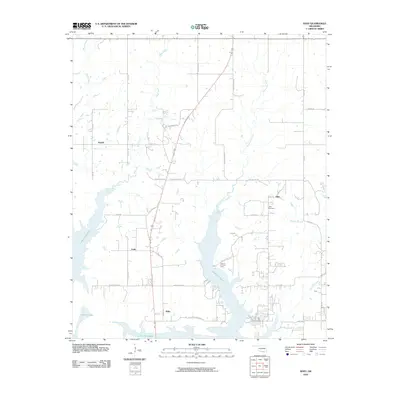 2010 Shay2010 Print · USGSLake Texoma defines the Marshall County landscape in the early twenty-first century, showing a region shaped by major water impoundment. Researchers can locate family landmarks like Shay Cemetery and trace the residential layout of Willis, Enos, and Fobb.
 - 2010 Map of Gordonville, 2010 Print
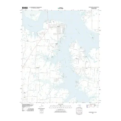 2010 Gordonville2010 Print · USGSThe Texas-Oklahoma borderlands near the start of the twenty-first century reveal a landscape shaped by the reservoir and rural industry. Researchers can trace family sites at Mount Tabor Cemetery or Noel Cemetery and explore the growth of Sherwood Shores and Gordonville.
 - 2010 Map of Pottsboro, 2010 Print
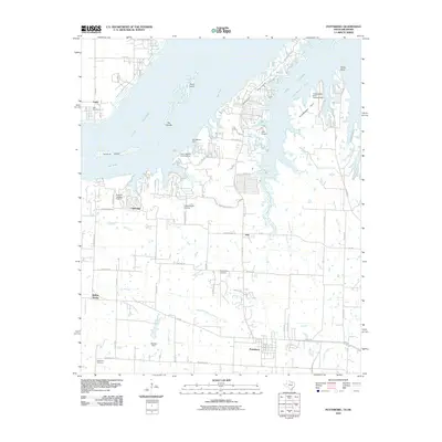 2010 Pottsboro2010 Print · USGSThe Texas-Oklahoma borderlands around Lake Texoma are captured here in the early twenty-first century as recreation and aviation define the shoreline. Researchers can trace the heritage of Pottsboro and local burial grounds like Hagerman Cemetery or find old river crossings at Henderson Ferry.
 - 2010 Map of Dexter, 2010 Print
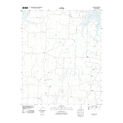 2010 Dexter2010 Print · USGSThe Red River valley near the Oklahoma border is documented here in the early twenty-first century as it balances rural history and energy production. Genealogists can locate several local burial sites like Johnson Cemetery and Newell Cemetery or trace the legacy of Stillhouse Ferry.
 - 2010 Map of Lebanon, 2010 Print
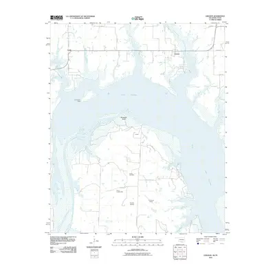 2010 Lebanon2010 Print · USGSThe Oklahoma-Texas borderlands are captured here during the first decade of the new millennium as Lake Texoma meets the southern plains. Trace rural family lands and local geography near Lebanon, Graveyard Bluff, and the U U Ranch Airport.
 - 2010 Map of Platter, 2010 Print
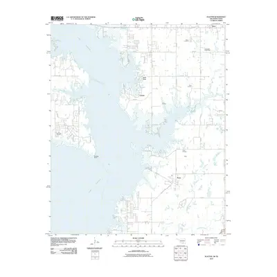 2010 Platter2010 Print · USGSBryan County and the eastern shores of Lake Texoma are captured here during the first decade of the millennium. Local history researchers can trace the locations of numerous family and community burial sites, including Old Woodville Cemetery, Love Cemetery, and Platter Cemetery.
 - 2010 Map of Kingston South, 2010 Print
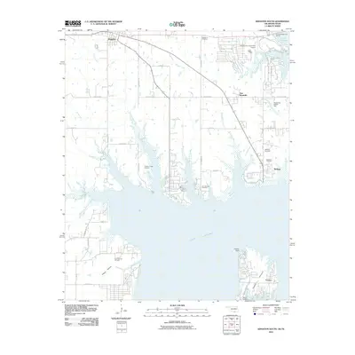 2010 Kingston South2010 Print · USGSThe Lake Texoma shoreline at the Oklahoma-Texas border is captured here during the early 21st century. Genealogists and local historians can trace family roots at Bald Knob Cemetery and Isom Springs Cemetery or locate the sprawling Isom Springs Oil Field.
 - 2012 Map of Mannsville, 2012 Print
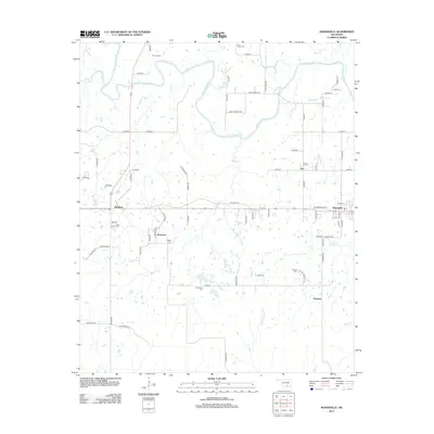 2012 Mannsville2012 Print · USGSOklahoma's rural landscape between the Washita River and Wolf Creek is captured here in the early twenty-first century. Researchers can locate several community landmarks including Mannsville, Dickson, and numerous burial sites like Lone Cedar Cem and Durwood Cem.
 - 2012 Map of Little City, 2012 Print
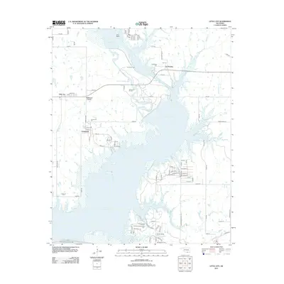 2012 Little City2012 Print · USGSBryan County at the start of the 2010s shows a landscape defined by the waters of Lake Texoma and its industrial oil fields. Researchers can trace historic sites like Fort Washita or locate family roots at the Confederate Cem and Cumberland Cem.
 - 2012 Map of Milburn, 2012 Print
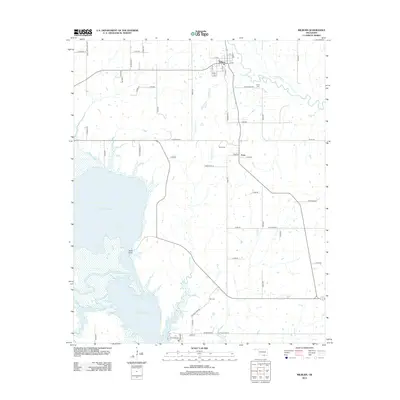 2012 Milburn2012 Print · USGSThe northern shores of Lake Texoma and the confluence of the Washita River are captured here in the early twenty-first century. Researchers can trace rural lineages through local landmarks like Harris Cem, Bee Cem, and the small settlement of Emet.
 - 2012 Map of Tishomingo, 2012 Print
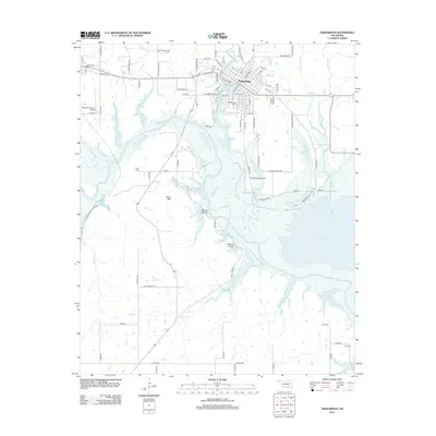 2012 Tishomingo2012 Print · USGSThe Johnston County seat and the campus of Murray State Coll sit at the confluence of several creeks and the Washita River in the early 2010s. Genealogists and local historians can locate Tishomingo Cem, Teller Cem, and the high point of Teller Mtn.
 - 2012 Map of Shay, 2012 Print
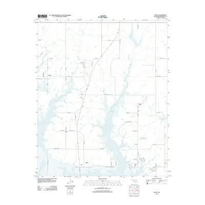 2012 Shay2012 Print · USGSOklahoma's southern borderlands near the Red River are shown here in the early twenty-first century as Lake Texoma reaches into Marshall County. Genealogists can locate several historic burial sites, including Powell Cem, Shay Cem, and the old settlement of Fobb.
 - 2012 Map of Lebanon, 2012 Print
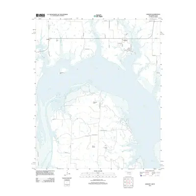 2012 Lebanon2012 Print · USGSThe Oklahoma-Texas borderlands come into focus here as Lake Texoma reshapes the historic Red River landscape. Researchers can trace family roots through the Enville Cem and Lebanon Cem or explore ranching geography at Delaware Bend and the U U Ranch Airport.
 - 2012 Map of Platter, 2012 Print
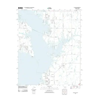 2012 Platter2012 Print · USGSLake Texoma and its branching inlets define the shoreline near the Oklahoma border in this 2012 survey. Genealogists can trace family roots through numerous small burial grounds like Old Woodville Cem, Franklin Cem, and Love Cem near the town of Platter.
 - 2013 Map of Kingston South, 2013 Print
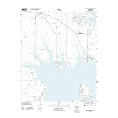 2013 Kingston South2013 Print · USGSThe northern shores of Lake Texoma and the Oklahoma-Texas borderlands are captured here in the early twenty-first century. Researchers can locate several rural burial grounds like Isom Springs Cem and trace the extent of the Isom Springs Oil Field.
 - 2013 Map of Ravia, 2013 Print
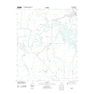 2013 Ravia2013 Print · USGSThe Washita River valley in south-central Oklahoma is shown here in the early twenty-first century, capturing a rural landscape defined by river bends and small settlements. Researchers can locate family sites at Ravia Cem, Russett Cem, or near the Madill Municipal Airport.
 - 2013 Map of McMillan, 2013 Print
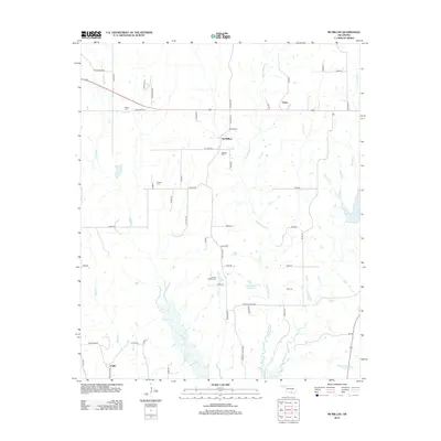 2013 McMillan2013 Print · USGSIn the early twenty-first century, this area of Love County shows a landscape of rural Oklahoma homesteads and local water projects. Researchers can trace family history through sites like the J. Hunter Pickens Cem, McMillan Cem, and the Jim Conrad Reservoir.
 - 2013 Map of Madill, 2013 Print
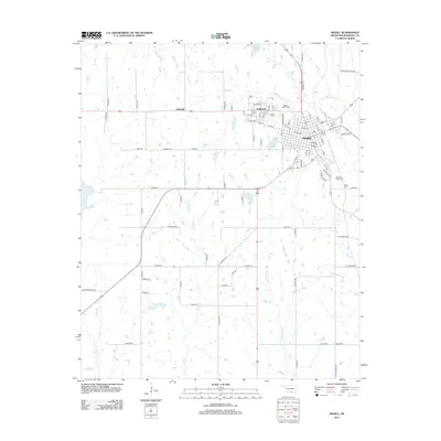 2013 Madill2013 Print · USGSOklahoma's Red River country is captured here in the early twenty-first century, centered on the growing community of Madill. Researchers can trace old family road names and locate established burial sites like Woodberry Forest Cemetery and the Oakland Madill Cemetery.
 - 2013 Map of Kingston North, 2013 Print
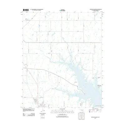 2013 Kingston North2013 Print · USGSMarshall County's northern shores are seen here in the early twenty-first century as the landscape balances oil production with the waters of Lake Texoma. Genealogists and researchers can trace the sites of Kingston Cem and Moore Burney Cem or locate the old Linn settlement.
 - 2013 Map of Gordonville, 2013 Print
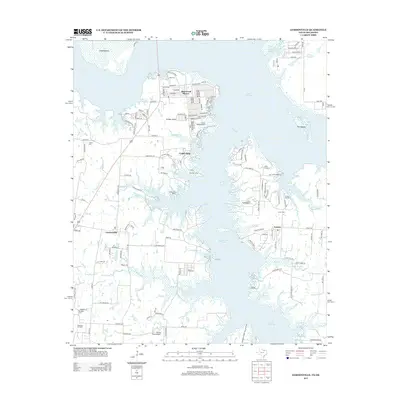 2013 Gordonville2013 Print · USGSThe shorelines of the Red River valley are deeply etched into this study of Grayson County during the early twenty-first century. Genealogists and local historians can locate several family burial sites like Mt Tabor Cem and trace developments around Sherwood Shores.
 - 2013 Map of Pottsboro, 2013 Print
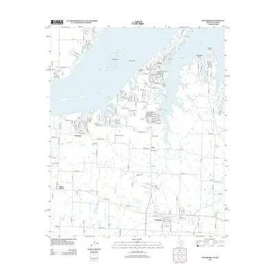 2013 Pottsboro2013 Print · USGSNorth Texas in the early twenty-first century reveals a landscape where the waters of Lake Texoma meet growing communities and historic rural routes. Trace local family roots through Georgetown Cem or locate old settlements like Fink and the sites of Henderson Ferry.
 - 2013 Map of Dexter, 2013 Print
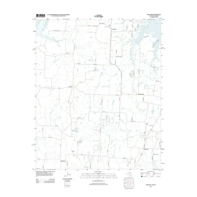 2013 Dexter2013 Print · USGSGrayson County's rural communities and the southern shores of Lake Texoma are captured here in the early twenty-first century. Researchers can locate numerous local burial sites like Shiloh Cem and trace the legacy of the Ranbalm Oil Field.
Showing maps 1-25 of 55
Top cities of Marshall County
Frequently asked questions
- What are the different types of historical maps available for Marshall County?
- What is the oldest map of Marshall County?
- Where can I purchase historical maps of Marshall County for my home or office?
- Where can I download high-res historical maps of Marshall County?
- Are there historical topographic maps available for Marshall County?
- Is there historical aerial imagery available for Marshall County?
- Where are historical maps of Marshall County sourced from?