Old Maps of Simms, Oklahoma for Hiking & Exploration
Hike through history with 27 historic maps of Simms. Explore old trails, ghost towns, and forgotten backroads — perfect for outdoor adventurers and local explorers.
- Rediscover forgotten places: Map out old mining camps, roads, and footpaths that no longer exist on modern maps.
- Layer with modern tools: Combine with LiDAR or satellite views to plan hikes through historical terrain.
- Made for exploration: Popular among hikers, overlanders, and local history lovers.
Use these maps to find adventure and explore the hidden past of Simms.
Simms, OK maps
(27)- 1900 Map of Sansbois
 1900 Sansbois1900 Print · USGSIndian Territory in the late nineteenth century is documented here through its tribal boundaries and early river settlements. Genealogists can trace family roots near Stigler, Porum, and Whitefield, or locate the isolated station at Sandtown along the St L & S F R R.2 unique versions available
 - 1909 Map of Sans Bois, 1954 Print
 1909 Sans Bois1954 Print · USGSHaskell and Muskogee counties are seen here in the decade following statehood, when rail lines and river crossings dictated the pulse of rural life. Genealogists can trace family roots through numerous local landmarks like Kanima P O, Belle Starr School, and the Sansbois Sta.
 - 1911 Map of Sansbois
 1911 Sansbois1911 Print · USGSEastern Oklahoma's river valleys and rugged hills come alive in this early twentieth-century survey of the Choctaw Nation's western reaches. Researchers can locate rural landmarks like Sansbois Station, the Belle Starr School, and early river crossings such as the Thornton Ferry.3 unique versions available
 - 1946 Map of Fort Smith
 1946 Fort Smith1946 Print · USGSThe Arkansas-Oklahoma borderlands appear here in the mid-forties, as new reservoirs began to transform the river valleys. Genealogists and historians can trace rail-served towns from Muskogee to Fort Smith and locate landmarks like Camp Chaffee.
 - 1962 Map of Stigler West, 1964 Print
 1962 Stigler West1964 Print · USGSHaskell and Muskogee counties are captured in the early sixties as the Canadian River shaped the local economy and geography. Genealogists and historians can trace old community ties through sites like Briartown, Ross Sch, and the Starr Cem.3 unique versions available
 - 1963 Map of Stigler NE, 1964 Print
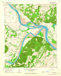 1963 Stigler NE1964 Print · USGSThe confluence of the Arkansas and Canadian rivers in the early sixties reveals a landscape of river-bottom farming and upland ridges. Genealogists can locate family burial sites like Starr Cem and Sandtown Cem or trace the Missouri Pacific rail line.3 unique versions available
 - 1963 Map of Holt Mountain, 1964 Print
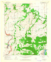 1963 Holt Mountain1964 Print · USGSMuskogee County's wooded hills and creek valleys are captured in the early sixties, showing a landscape shaped by rural education and small family cemeteries. Researchers can trace local heritage at Popes Chapel Cemetery, Sims School, and the mines near the Canadian River.3 unique versions available
 - 1964 Map of Stigler NE
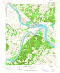 1964 Stigler NE1964 Print · USGSThe confluence of the Arkansas and Canadian rivers defined life in this corner of Oklahoma during the early sixties. Genealogists can trace family roots through numerous burial grounds like Fields Cem and Jones Cem, or locate the Stony Point Sch and McIntosh Chapel.
 - 1965 Map of Fort Smith
 1965 Fort Smith1965 Print · USGSEastern Oklahoma and Western Arkansas are captured here during a period of massive post-war change as new reservoirs reshaped the river valleys. Genealogists and historians can trace the rail networks of the Midland Valley RR and find established communities like Stilwell, Sallisaw, and Stigler.
 - 1967 Map of Fort Smith
 1967 Fort Smith1967 Print · USGSThe Arkansas River valley and the foothills of the Ozarks are captured here during a period of significant military and industrial activity. Researchers can trace the sprawling bounds of Camp Chaffee and Camp Gruber or locate vanished rail stops along the Midland Valley RR.
 - 1978 Map of Eufaula, 1979 Print
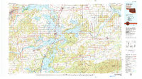 1978 Eufaula1979 Print · USGSEastern Oklahoma in the late seventies is defined by the sprawling waters of Eufaula Lake and the dense timber of the Sans Bois Mountains. Genealogists and historians can trace the development of towns like Checotah and Stigler or locate legacy sites like the Old R R Grade and Robbers Cave State Park.
 - 1978 Map of Fort Smith, 1979 Print
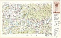 1978 Fort Smith1979 Print · USGSThe Arkansas-Oklahoma borderlands in the late seventies show a landscape shaped by massive river reservoirs and sprawling military reservations. Trace the historic rail lines of the Missouri Pacific RR and locate regional landmarks like Fort Gibson, Tenkiller Ferry Lake, and Barling.2 unique versions available
 - 2010 Map of Stigler West, 2010 Print
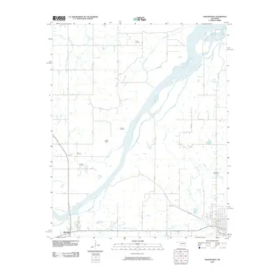 2010 Stigler West2010 Print · USGSHaskell County's river-bottom lands and rural homesteads are captured here at the start of the decade. Family historians can locate ancestral burial grounds like Briartown Cemetery and McClure Cemetery near the banks of the Canadian River.
 - 2010 Map of Holt Mountain, 2010 Print
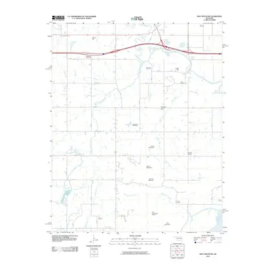 2010 Holt Mountain2010 Print · USGSMuskogee County terrain at the start of the 2010s reveals a landscape of high ridges and deep creek hollows. Genealogists can trace several remote family burial sites, including Popes Chapel and Toney Cemetery, while pilots and navigators can locate the Little River Ranch Airport.
 - 2010 Map of Stigler NE, 2010 Print
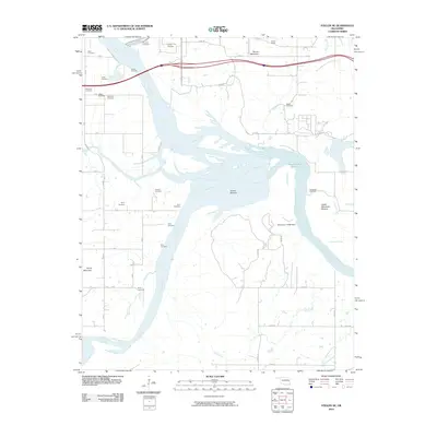 2010 Stigler NE2010 Print · USGSEastern Oklahoma's river valleys are captured here in the early twenty-first century as the major river systems converge. Genealogists and local historians can trace over a dozen burial sites including Hanks Cemetery, Wilkerson Cemetery, and Girty Cemetery.
 - 2012 Map of Stigler West, 2012 Print
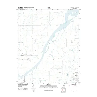 2012 Stigler West2012 Print · USGSHaskell County at the start of the decade shows a landscape of river-valley settlements and well-documented community landmarks. Genealogists can trace family history through numerous local sites like Stigler Cem, Briartown, and the remote McClure Cem near the Canadian River.
 - 2012 Map of Holt Mountain, 2012 Print
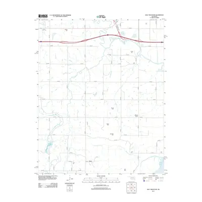 2012 Holt Mountain2012 Print · USGSMuskogee County in the early twenty-first century remains a landscape of prominent peaks and family burial grounds. Researchers can trace land tracts near the Canadian River or locate several local landmarks like Popes Chapel Cem, Simms, and Barker Mtn.
 - 2012 Map of Stigler NE, 2012 Print
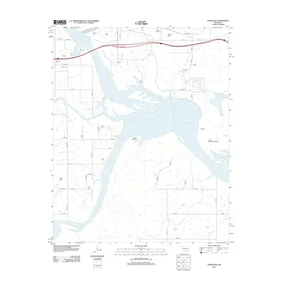 2012 Stigler NE2012 Print · USGSIn this modern survey of the Arkansas and Canadian River confluence, the landscape is defined by the massive Robert S Kerr Reservoir. Genealogists will find a wealth of local history in the numerous small burial sites like Hanks Cem, Vann Cem, and Fields Cem.
 - 2016 Map of Stigler West, 2016 Print
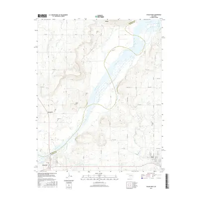 2016 Stigler West2016 Print · USGSHaskell and Muskogee counties are seen here along the wide Canadian River in the mid-2010s. Researchers can locate many small burial grounds and rural hubs, including Briartown, Cramp Cem, and the outskirts of Stigler.
 - 2016 Map of Holt Mountain, 2016 Print
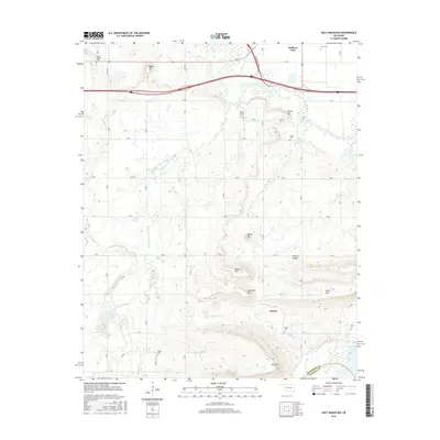 2016 Holt Mountain2016 Print · USGSMuskogee County's river-fed hills and family homesteads are preserved here during the mid-2010s. Researchers can pinpoint several historic burial grounds, including Gum Spring Cem and Toney Cem, or trace the paths of Dirty Creek and Starvilla Cr.
 - 2016 Map of Stigler NE, 2016 Print
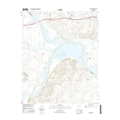 2016 Stigler NE2016 Print · USGSHaskell County at the junction of the Canadian River and the Robert S Kerr Reservoir reveals a landscape of fertile bottomlands and family legacy. Researchers can locate numerous historic burial sites such as Girty Cem and Sandtown Cem or trace the early roads near Tamaha.
 - 2018 Map of Stigler NE, 2018 Print
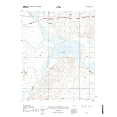 2018 Stigler NE2018 Print · USGSEastern Oklahoma's river country is charted here at the meeting of the Arkansas and Canadian rivers. Genealogists and local historians can locate numerous family burial grounds, including Carlile Cem, Red Hill Cem, and Girty Cem near the town of Tamaha.
 - 2018 Map of Stigler West, 2018 Print
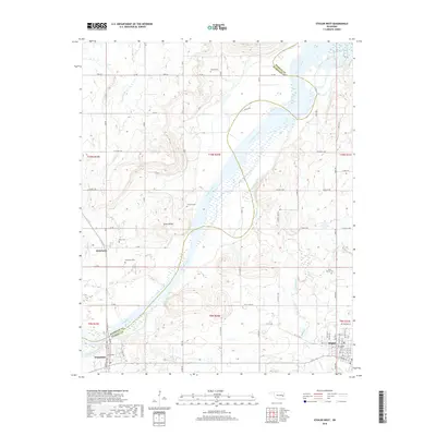 2018 Stigler West2018 Print · USGSStigler and the banks of the Canadian River are captured here in 2018, showing a landscape defined by its rural settlements and family cemeteries. Researchers can trace local roots at Sand Spring Cem, Whitefield, and Briartown Cem.
 - 2018 Map of Holt Mountain, 2018 Print
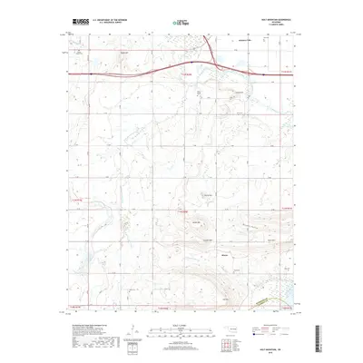 2018 Holt Mountain2018 Print · USGSMuskogee County in the late 2010s reveals a landscape of high ridges and winding creek valleys south of Webbers Falls. Researchers can trace old family burial grounds including Popes Chapel Cem and Girty Cem while following the path of Dirty Creek.
 - 2022 Map of Stigler NE, 2022 Print
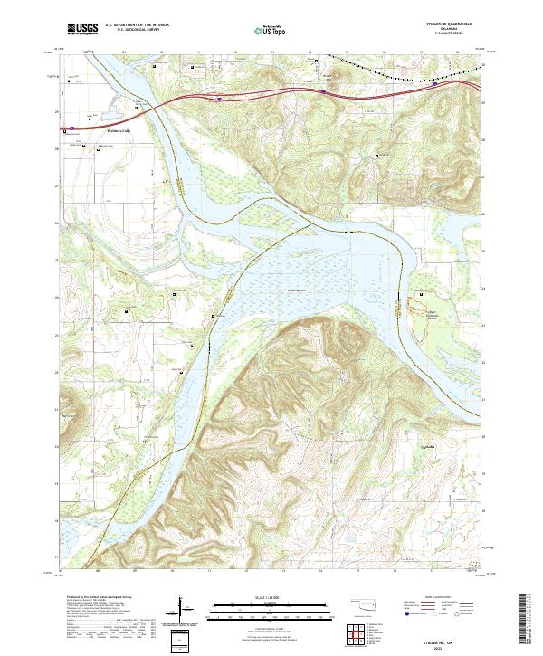 2022 Stigler NE2022 Print · USGSThe confluence of the Arkansas and Illinois Rivers defines this area in the early 2020s, dominated by the Robert S-Kerr Reservoir. Family historians can trace numerous burial sites including the Hanks Family Cem, Fields Cem, and Tom Girty Cem near the settlement of Tamaha.
Showing maps 1-25 of 27
Top cities near Simms
- Stigler historical maps
- Vian historical maps
- Vian historical maps
- Warner historical maps
- Gore historical maps
- Porum historical maps
See more
Frequently asked questions
- What are the different types of historical maps available for Simms?
- What is the oldest map of Simms?
- Where can I purchase historical maps of Simms for my home or office?
- Where can I download high-res historical maps of Simms?
- Are there historical topographic maps available for Simms?
- Is there historical aerial imagery available for Simms?
- Where are historical maps of Simms sourced from?