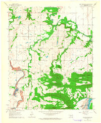
1963 Map of Holt Mountain
USGS Topo · Published 1964About this map
Holt Mountain and the surrounding timbered ridges of the Martin township dominate this early 1960s landscape at the border of Muskogee Co and Haskell Co. The area is characterized by high ground like Barker Mountain and Stanifird Mountain, which rise above the complex drainages of Dirty Creek and its South Fork. Settlement is largely dispersed along country roads, marked by local institutions such as Popes Chapel Sch and Vann Sch.
Find a feature on this map
31 named features on this map. Tap any name to fly to it.
Don’t see what you’re looking for? This feature index may not catch every label — zoom into the map to look around manually.
Map Details
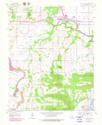
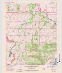
Editions of this 1963 Holt Mountain Map
3 editions found
Other maps of this area

1900 · Sansbois
USGS Topo · 1:125,000

1901 · Muscogee
USGS Topo · 1:125,000

1905 · Muscogee
USGS Topo · 1:125,000

1909 · Sans Bois
USGS Topo · 1:125,000

1911 · Sansbois
USGS Topo · 1:125,000

1946 · Fort Smith
USGS Topo · 1:250,000

1948 · Keefeton
USGS Topo · 1:62,500

1948 · Webbers Falls
USGS Topo · 1:62,500

1950 · Keefeton
USGS Topo · 1:62,500

1950 · Webbers Falls
USGS Topo · 1:62,500