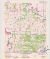
1963 Map of Holt Mountain
USGS Topo · Published 1983About this map
Holt Mountain and the surrounding ridgelines of the Cookson Hills region define this landscape at a time of significant infrastructure transition. The northern portion of the map is dominated by the construction of the Muskogee Turnpike Toll Road, which cuts through the township of Vann. Along the winding course of the South Fork Dirty Creek, local history is preserved in a series of family and community landmarks, including Gritts Cem and the Sims Sch.
Find a feature on this map
35 named features on this map. Tap any name to fly to it.
Don’t see what you’re looking for? This feature index may not catch every label — zoom into the map to look around manually.
Map Details
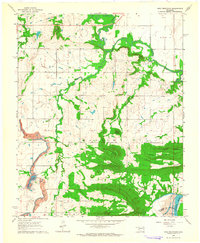
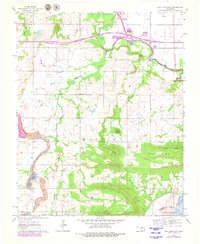
Editions of this 1963 Holt Mountain Map
3 editions found
Other maps of this area

1900 · Sansbois
USGS Topo · 1:125,000

1901 · Muscogee
USGS Topo · 1:125,000

1905 · Muscogee
USGS Topo · 1:125,000

1909 · Sans Bois
USGS Topo · 1:125,000

1911 · Sansbois
USGS Topo · 1:125,000

1946 · Fort Smith
USGS Topo · 1:250,000

1948 · Keefeton
USGS Topo · 1:62,500

1948 · Webbers Falls
USGS Topo · 1:62,500

1950 · Keefeton
USGS Topo · 1:62,500

1950 · Webbers Falls
USGS Topo · 1:62,500