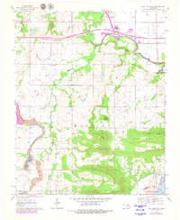
1963 Map of Holt Mountain
USGS Topo · Published 1979About this map
Dirty Creek and its many forks define this landscape along the border of Muskogee County and Haskell County during the mid-to-late 20th century. The topography is characterized by distinct heights such as Rabbit Hill, Gritts Hill, and Holt Mountain, with several family-named landmarks suggesting a deep-rooted local history. The map records a shift in transportation and infrastructure, from the path of the Muskogee Turnpike Toll Road to the presence of a Landing Strip. Genealogists will find a wealth of specific sites, including numerous cemeteries like Gum Spring Cem and Girty Cem, alongside rural educational centers such as Sims Sch and Vann Sch. The eastern edge of the survey is dominated by the Robert S. Kerr Reservoir and the Canadian River, illustrating the significance of water management in the region.
Find a feature on this map
38 named features on this map. Tap any name to fly to it.
Don’t see what you’re looking for? This feature index may not catch every label — zoom into the map to look around manually.
Map Details
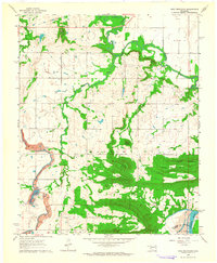
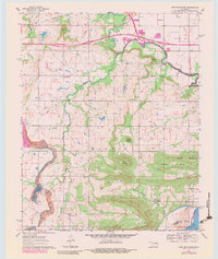
Editions of this 1963 Holt Mountain Map
3 editions found
Other maps of this area

1900 · Sansbois
USGS Topo · 1:125,000

1901 · Muscogee
USGS Topo · 1:125,000

1905 · Muscogee
USGS Topo · 1:125,000

1909 · Sans Bois
USGS Topo · 1:125,000

1911 · Sansbois
USGS Topo · 1:125,000

1946 · Fort Smith
USGS Topo · 1:250,000

1948 · Keefeton
USGS Topo · 1:62,500

1948 · Webbers Falls
USGS Topo · 1:62,500

1950 · Keefeton
USGS Topo · 1:62,500

1950 · Webbers Falls
USGS Topo · 1:62,500