Old Maps of Glenoak, Oklahoma for Hiking & Exploration
Hike through history with 12 historic maps of Glenoak. Explore old trails, ghost towns, and forgotten backroads — perfect for outdoor adventurers and local explorers.
- Rediscover forgotten places: Map out old mining camps, roads, and footpaths that no longer exist on modern maps.
- Layer with modern tools: Combine with LiDAR or satellite views to plan hikes through historical terrain.
- Made for exploration: Popular among hikers, overlanders, and local history lovers.
Use these maps to find adventure and explore the hidden past of Glenoak.
Glenoak, OK maps
(12)- 1901 Map of Nowata
 1901 Nowata1901 Print · USGSThe Cherokee Nation in Indian Territory is captured here at the start of the twentieth century, showing the lands that would soon become northeast Oklahoma. Researchers can trace early rail-town growth in Nowata and Bartlesville or locate smaller settlements like Alluwe and Coodys Bluff.2 unique versions available
 - 1914 Map of Nowata
 1914 Nowata1914 Print · USGSNortheastern Oklahoma at the height of its early statehood growth is documented here as the railroad network expanded across the Verdigris River valley. Genealogists can locate dozens of country schools like Go-back School and vanished post offices such as Avelia Wayside PO.5 unique versions available
 - 1954 Map of Tulsa
 1954 Tulsa1954 Print · USGSNortheast Oklahoma and the Ozark border are shown here during a period of massive industrial and infrastructure growth. Researchers can trace the legacy of the Tri-State Mining District and the development of major reservoirs like Grand Lake O' The Cherokees.2 unique versions available
 - 1958 Map of Tulsa, 1968 Print
 1958 Tulsa1968 Print · USGSNortheast Oklahoma and the Ozark borderlands are captured here during a massive era of reservoir construction and highway expansion. Researchers can trace the mid-century footprints of Tulsa, the sprawling Lake O' the Cherokees, and historical sites like Pea Ridge National Military Park.3 unique versions available
 - 1963 Map of Tulsa
 1963 Tulsa1963 Print · USGSThe Oklahoma and Arkansas borderlands are shown here in the early sixties, a time of massive reservoir construction and heavy mining. Genealogists can trace family roots through settlements like Nowata, Pryor, and Jay, or locate historical zinc and lead mines and coal mines.
 - 1972 Map of Oglesby, 1974 Print
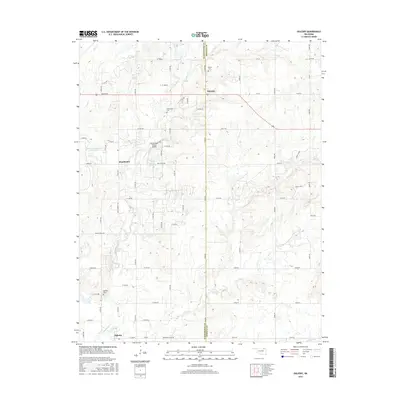
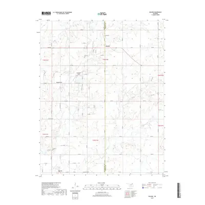
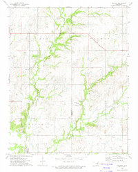 1972 Oglesby1974 Print · USGSThe rolling oil fields along the border of Washington and Nowata Counties are captured here in the early seventies. Genealogists and historians can locate remote family sites like Willey Cem and the small settlements of Oglesby and Glenoak.
 - 1985 Map of Bartlesville
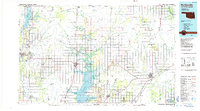 1985 Bartlesville1985 Print · USGSNortheastern Oklahoma in the mid-eighties shows a landscape defined by the Verdigris River and a complex rail network. Researchers can trace the industrial footprint of Strip Mines and find old rail hubs in Nowata and Vinita.2 unique versions available
 - 2010 Map of Oglesby, 2010 Print
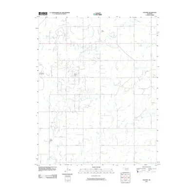 2010 Oglesby2010 Print · USGSCovers Glenoak, including Oglesby, Hogshooter, and other nearby areas
 - 2012 Map of Oglesby, 2012 Print
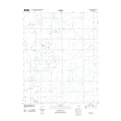 2012 Oglesby2012 Print · USGSCovers Glenoak, including Oglesby, Hogshooter, and other nearby areas
 - 2016 Map of Oglesby, 2016 Print
 2016 Oglesby2016 Print · USGSCovers Glenoak, including Oglesby, Hogshooter, and other nearby areas
 - 2018 Map of Oglesby, 2018 Print
 2018 Oglesby2018 Print · USGSCovers Glenoak, including Oglesby, Hogshooter, and other nearby areas
 - 2022 Map of Oglesby, 2022 Print
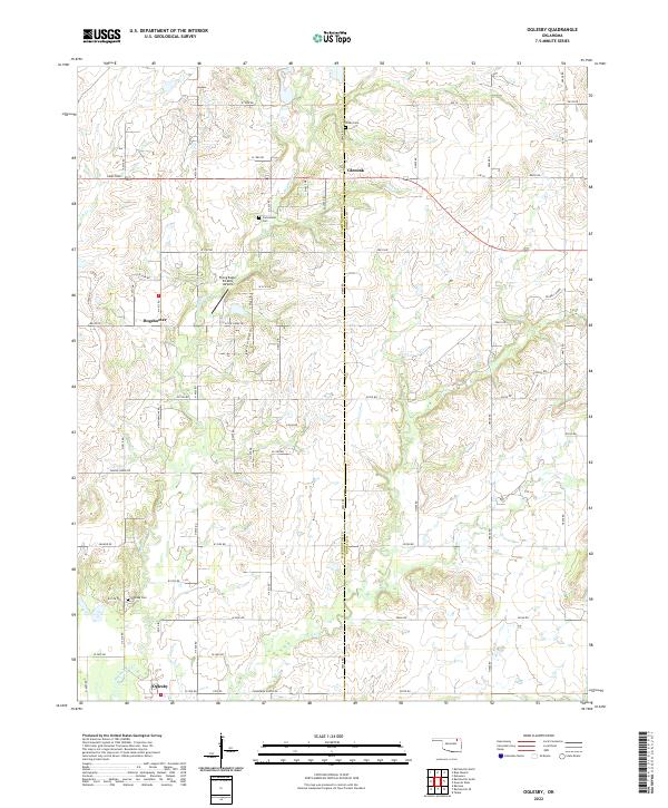 2022 Oglesby2022 Print · USGSThe borderlands of Washington and Nowata counties are shown here in the modern era, where rural life centers on the crossroads of Oglesby and Glenoak. Genealogists and historians can trace family ties at the Curleyhead Cem and Willey Cem or follow the paths of OILWELL ROADS through the hills.
End of results
Showing maps 1-12 of 12
Top cities near Glenoak
- Bartlesville historical maps
- Nowata historical maps
- Dewey historical maps
- Copan historical maps
- Ramona historical maps
- Ochelata historical maps
See more
Frequently asked questions
- What are the different types of historical maps available for Glenoak?
- What is the oldest map of Glenoak?
- Where can I purchase historical maps of Glenoak for my home or office?
- Where can I download high-res historical maps of Glenoak?
- Are there historical topographic maps available for Glenoak?
- Is there historical aerial imagery available for Glenoak?
- Where are historical maps of Glenoak sourced from?