2000s (21st Century) Maps of Bearden, Oklahoma
Explore 20 historic maps of Bearden from the 2000s (21st Century). These maps offer a rare glimpse into what life looked like during the 2000s — showing old roads, neighborhoods, homes, and landmarks that have changed or disappeared over time.
Whether you're researching your family's past, planning a metal detecting trip, or studying how Bearden's landscape evolved across the 2000s, these high-resolution maps are a powerful tool for exploring the history of this region.
- Focus on a specific era: All maps on this page are from the 2000s, giving you a focused view of this time period.
- See what’s changed: Compare century-old streets, trails, and buildings to today's modern landscape using overlays and satellite layers.
- Research with precision: Use these maps for genealogy, historical research, land use analysis, or educational projects.
- View, download, or print: Maps are fully viewable online in high resolution, and can be downloaded or printed for your own records.
Start exploring Bearden's history through authentic maps from the 2000s. This is your window into the past.
Bearden, OK maps
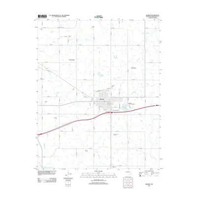
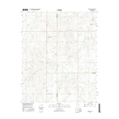
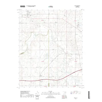
(20)- 2009 Map of Okemah, 2009 Print
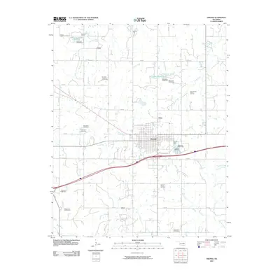 2009 Okemah2009 Print · USGSCovers Bearden, including Okemah, Okfuskee County, and other nearby areas
 - 2009 Map of Okemah SE, 2009 Print
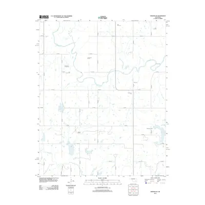
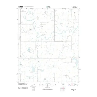 2009 Okemah SE2009 Print · USGSCovers Bearden, including Hughes County, Okfuskee County, and other nearby areas
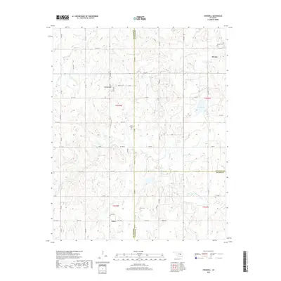
 - 2009 Map of Cromwell, 2009 Print
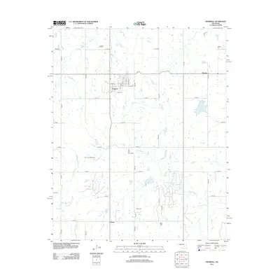
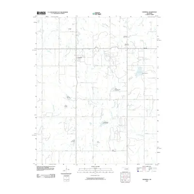 2009 Cromwell2009 Print · USGSCovers Bearden, including Cromwell, Butner, and other nearby areas
 - 2009 Map of Boley, 2009 Print
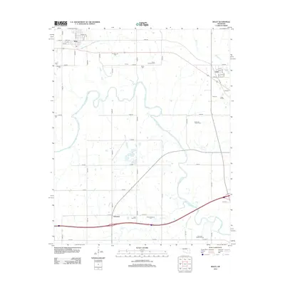
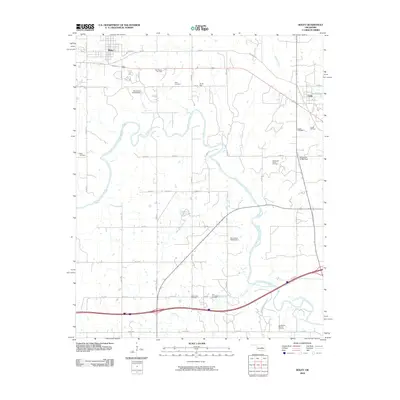 2009 Boley2009 Print · USGSCovers Bearden, including Boley, Cromwell, and other nearby areas
 - 2012 Map of Cromwell, 2012 Print
 2012 Cromwell2012 Print · USGSCovers Bearden, including Cromwell, Butner, and other nearby areas
 - 2012 Map of Okemah, 2012 Print
 2012 Okemah2012 Print · USGSCovers Bearden, including Okemah, Okfuskee County, and other nearby areas
 - 2012 Map of Okemah SE, 2012 Print
 2012 Okemah SE2012 Print · USGSCovers Bearden, including Hughes County, Okfuskee County, and other nearby areas
 - 2012 Map of Boley, 2012 Print
 2012 Boley2012 Print · USGSCovers Bearden, including Boley, Cromwell, and other nearby areas
 - 2016 Map of Cromwell, 2016 Print
 2016 Cromwell2016 Print · USGSCovers Bearden, including Cromwell, Butner, and other nearby areas
 - 2016 Map of Okemah, 2016 Print
 2016 Okemah2016 Print · USGSCovers Bearden, including Okemah, Okfuskee County, and other nearby areas
 - 2016 Map of Okemah SE, 2016 Print
 2016 Okemah SE2016 Print · USGSCovers Bearden, including Hughes County, Okfuskee County, and other nearby areas
 - 2016 Map of Boley, 2016 Print
 2016 Boley2016 Print · USGSCovers Bearden, including Boley, Cromwell, and other nearby areas
 - 2018 Map of Boley, 2018 Print
 2018 Boley2018 Print · USGSCovers Bearden, including Boley, Cromwell, and other nearby areas
 - 2018 Map of Okemah SE, 2018 Print
 2018 Okemah SE2018 Print · USGSCovers Bearden, including Hughes County, Okfuskee County, and other nearby areas
 - 2018 Map of Cromwell, 2018 Print
 2018 Cromwell2018 Print · USGSCovers Bearden, including Cromwell, Butner, and other nearby areas
 - 2018 Map of Okemah, 2018 Print
 2018 Okemah2018 Print · USGSCovers Bearden, including Okemah, Okfuskee County, and other nearby areas
 - 2022 Map of Okemah, 2022 Print
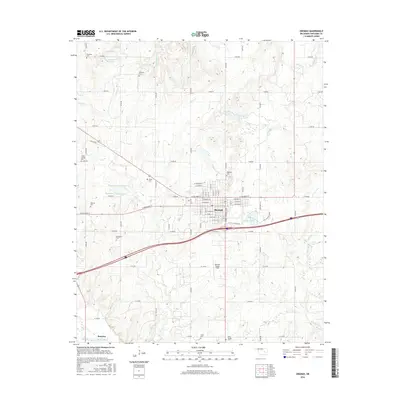
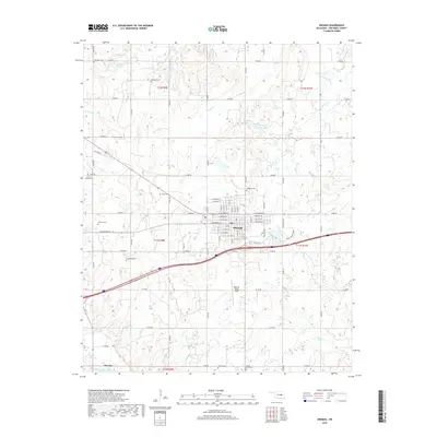
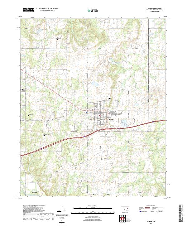 2022 Okemah2022 Print · USGSOkemah and its surrounding Oklahoma territory are shown in this contemporary study of Okfuskee County. Local historians can trace family roots at numerous rural burial sites like Highland Cem and Harjo Cem or locate the Okfuskee County Courthouse.
 - 2022 Map of Cromwell, 2022 Print
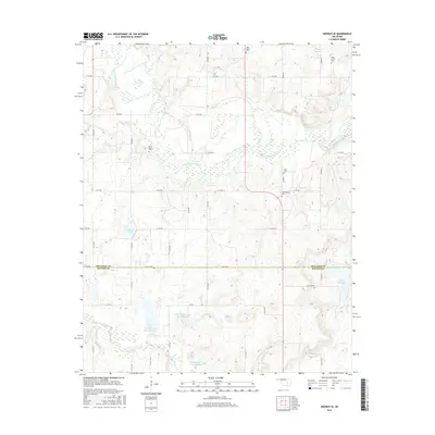
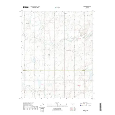
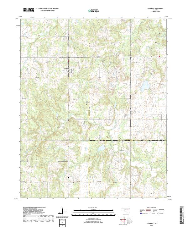 2022 Cromwell2022 Print · USGSCromwell and the surrounding rural communities of Seminole and Okfuskee Counties are captured here in the early twenty-first century. Genealogists and local researchers can trace family landmarks and burial sites like Little Quarsarty Cem, Bearden, and Butner Cem.
 - 2022 Map of Boley, 2022 Print
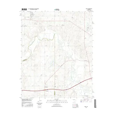
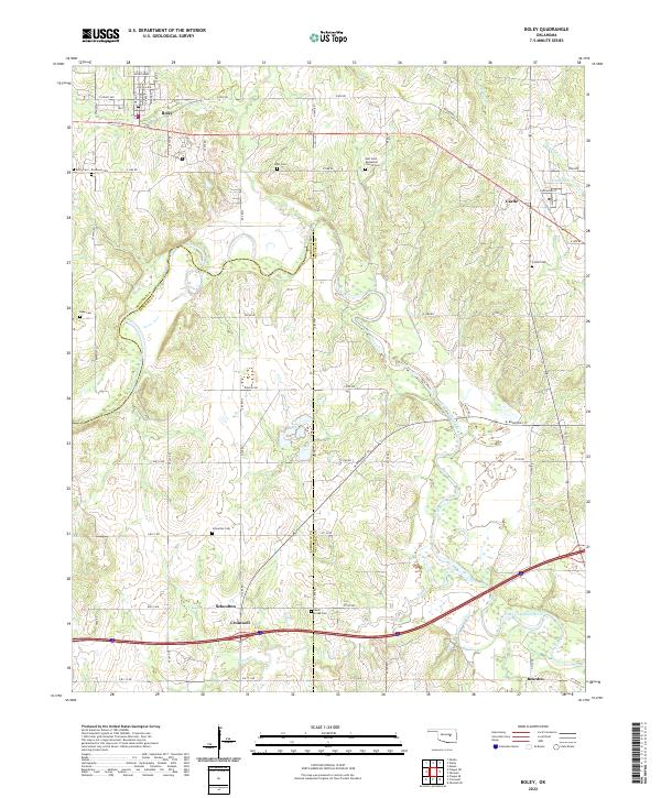 2022 Boley2022 Print · USGSBoley and the surrounding Oklahoma countryside are documented here in the early 2020s, showing a landscape defined by historic settlements and rural cemeteries. Researchers can trace local heritage through sites like Schoolton Cemetery, Castle, and East Saint Emmanuel Church.
 - 2022 Map of Okemah SE, 2022 Print
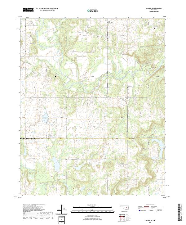 2022 Okemah SE2022 Print · USGSOkfuskee and Hughes counties are shown during the early twenty-first century as agricultural life centers on the North Canadian River. Genealogists can locate several family and community burial sites including Thlopthlocco Cem and Saint Paul's Cem near Bearden.
End of results
Showing maps 1-20 of 20
Top cities near Bearden
- Seminole historical maps
- Wewoka historical maps
- Okemah historical maps
- Wetumka historical maps
- Boley historical maps
- Paden historical maps
See more
Frequently asked questions
- What are the different types of historical maps available for Bearden?
- What is the oldest map of Bearden?
- Where can I purchase historical maps of Bearden for my home or office?
- Where can I download high-res historical maps of Bearden?
- Are there historical topographic maps available for Bearden?
- Is there historical aerial imagery available for Bearden?
- Where are historical maps of Bearden sourced from?