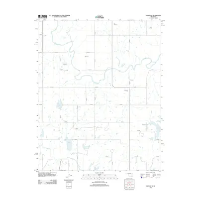
2012 Map of Okemah SE
USGS Topo · Published 2012About this map
The N Canadian River meanders across this rural section of Okfuskee County, defining a landscape traditionally shaped by the regional petroleum industry and long-standing community landmarks. The extraction economy is clearly visible through several active zones including the Bearden Oil and Gas Field, the Papoose Oil Field, and the Scott Gas Field. These industrial areas are interspersed with numerous small water bodies such as Stanley Lake and the northern reaches of Lake Wetumka. Local history and genealogy are anchored by several notable burial sites scattered throughout the countryside, including Thlopthlocco Cem, Shiloh Cem, and Saint Paul's Cem. The grid of rural roads, including n3760 RD and e1180 RD, connects these scattered settlements and industrial sites, providing a clear view of the area's development in the early 21st century.
Find a feature on this map
34 named features on this map. Tap any name to fly to it.
Don’t see what you’re looking for? This feature index may not catch every label — zoom into the map to look around manually.
Map Details
Editions of this 2012 Okemah SE Map
This is the sole edition of this map. No revisions or reprints were ever made.
Other maps of this area
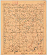
1900 · Wewoka
USGS Topo · 1:125,000
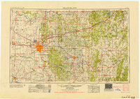
1954 · Oklahoma City
USGS Topo · 1:250,000
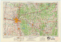
1957 · Oklahoma City
USGS Topo · 1:250,000
1963 · Oklahoma City
USGS Topo · 1:250,000
1967 · Cromwell
USGS Topo · 1:24,000
1967 · Okemah SE
USGS Topo · 1:24,000
1967 · Weleetka
USGS Topo · 1:24,000
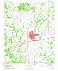
1967 · Okemah
USGS Topo · 1:24,000
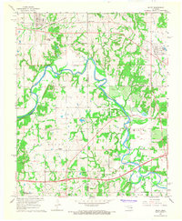
1967 · Boley
USGS Topo · 1:24,000
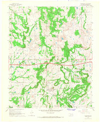
1967 · Clearview
USGS Topo · 1:24,000