
1967 Map of Okemah SE
USGS Topo · Published 1968About this map
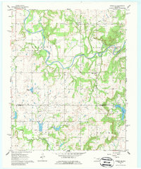
The North Canadian River meanders across this mid-century landscape on the border of Okfuskee and Hughes counties. Petroleum extraction defines the industrial character of the area, evidenced by the extensive Bearden Oil and Gas Field and the Papoose Oil Field to the south. Small rural communities and family landmarks are scattered throughout the wooded terrain, including the Lone Star Sch and several country churches like High Spring Ch and Phillips Chapel.
Find a feature on this map
26 named features on this map. Tap any name to fly to it.
Don’t see what you’re looking for? This feature index may not catch every label — zoom into the map to look around manually.
Map Details
Editions of this 1967 Okemah SE Map
2 editions found
Other maps of this area

1900 · Wewoka
USGS Topo · 1:125,000

1954 · Oklahoma City
USGS Topo · 1:250,000

1957 · Oklahoma City
USGS Topo · 1:250,000

1963 · Oklahoma City
USGS Topo · 1:250,000

1967 · Cromwell
USGS Topo · 1:24,000

1967 · Weleetka
USGS Topo · 1:24,000

1967 · Okemah
USGS Topo · 1:24,000

1967 · Boley
USGS Topo · 1:24,000
1967 · Clearview
USGS Topo · 1:24,000
1971 · Wetumka
USGS Topo · 1:24,000