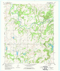
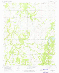
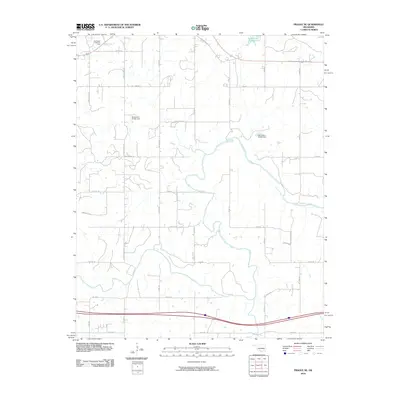
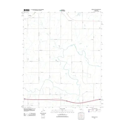
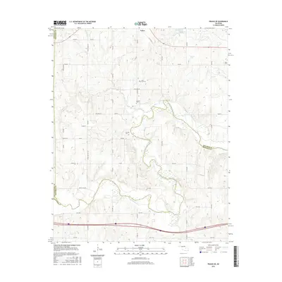
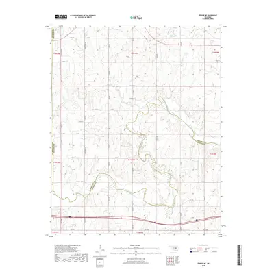
1967 Map of Okemah SE
USGS Topo · Published 1986About this map
The North Canadian River meanders through the central landscape of this Oklahoma survey, defining the terrain between Hickory Ridge and the Okfuskee-Hughes county line. This era in the late 1960s is characterized by significant energy extraction, with the Bearden Oil and Gas Field and Papoose Oil Field spanning large portions of the rural acreage.
Find a feature on this map
20 named features on this map. Tap any name to fly to it.
Don’t see what you’re looking for? This feature index may not catch every label — zoom into the map to look around manually.
Map Details
Editions of this 1967 Okemah SE Map
2 editions found
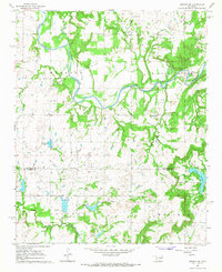
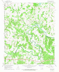
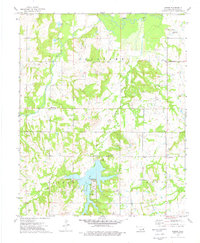
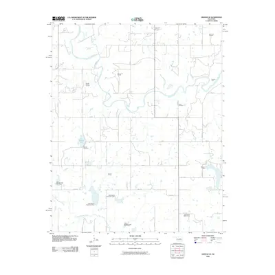
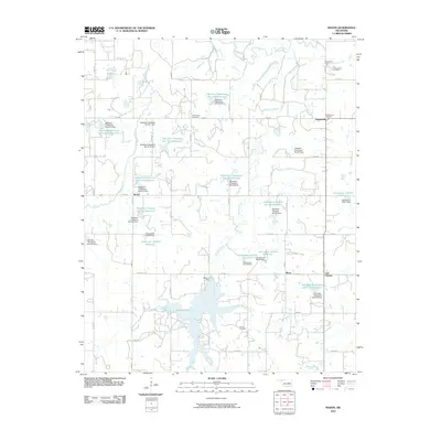
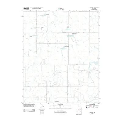
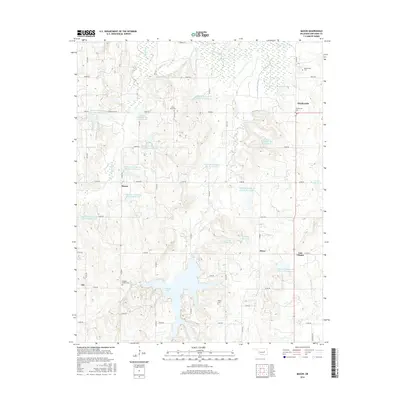
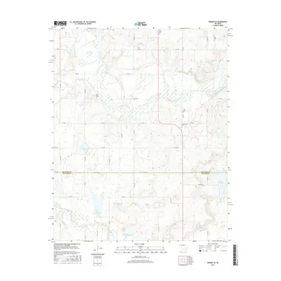
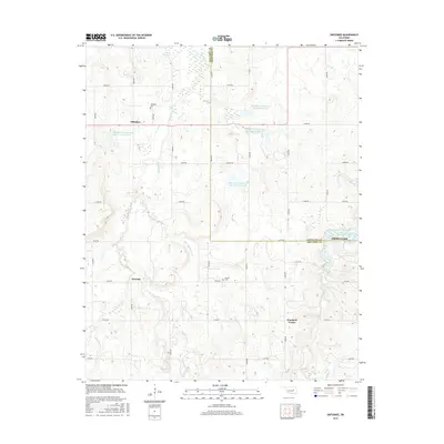
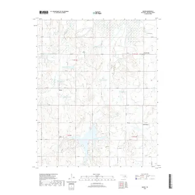
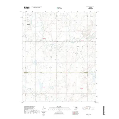
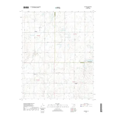
Historical Maps of Bearden Through Time
24 maps found
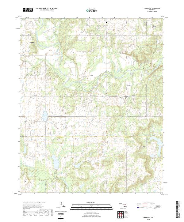
1967 Okemah SE
Okfuskee County, OK
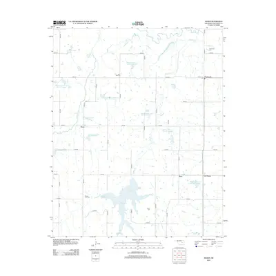
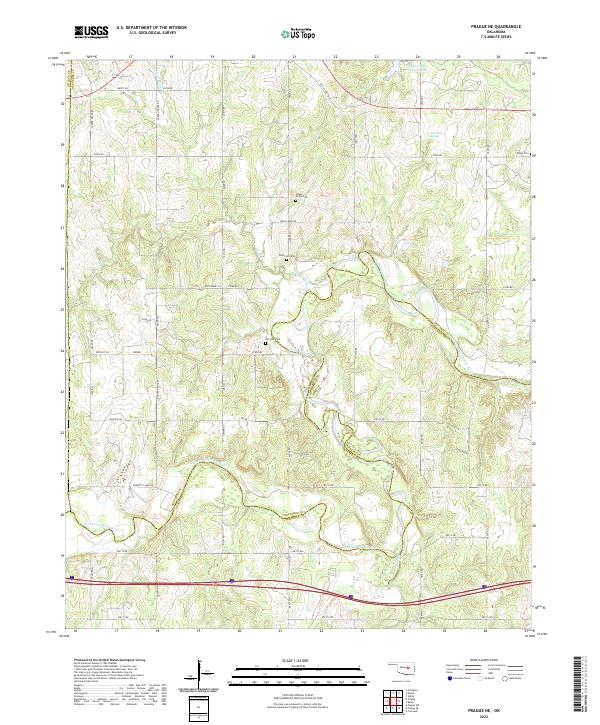
1967 Prague NE
Okfuskee County, OK
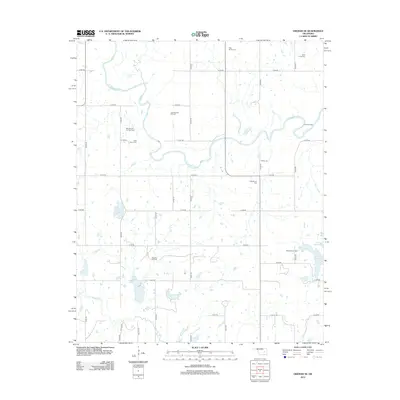
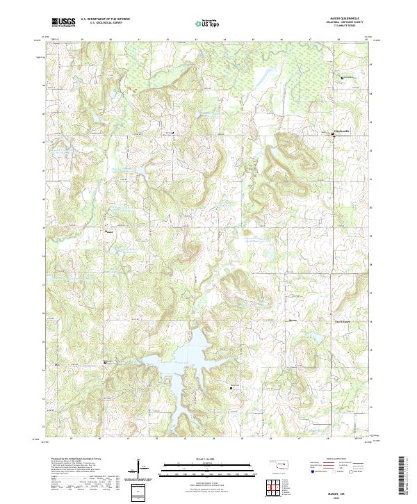
1973 Mason
Okfuskee County, OK
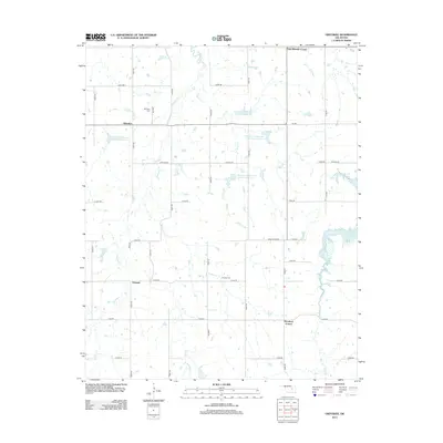
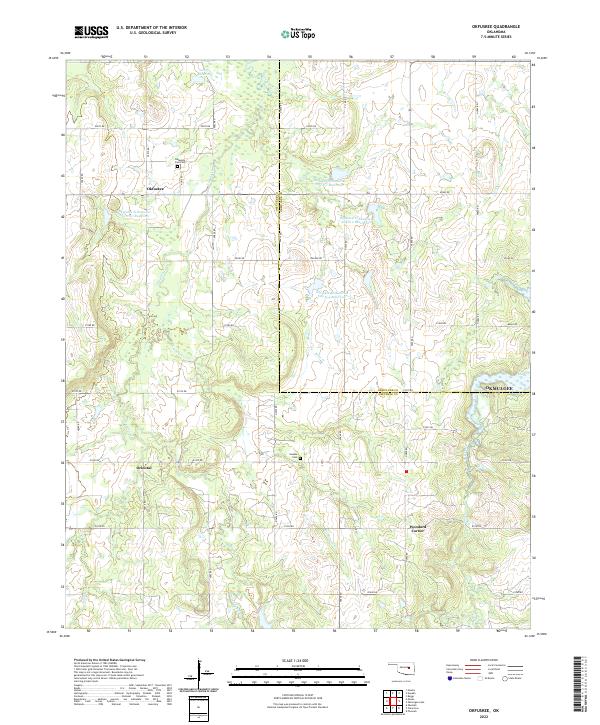
1973 Okfuskee
Okfuskee County, OK
2009 Okemah SE
Okfuskee County, OK
2010 Mason
Okfuskee County, OK
2010 Okfuskee
Okfuskee County, OK
2010 Prague NE
Okfuskee County, OK
2012 Mason
Okfuskee County, OK
2012 Okemah SE
Okfuskee County, OK
2012 Okfuskee
Okfuskee County, OK
2012 Prague NE
Okfuskee County, OK
2016 Mason
Okfuskee County, OK
2016 Okemah SE
Okfuskee County, OK
2016 Okfuskee
Okfuskee County, OK
2016 Prague NE
Okfuskee County, OK
2018 Mason
Okfuskee County, OK
2018 Okemah SE
Okfuskee County, OK
2018 Okfuskee
Okfuskee County, OK
2018 Prague NE
Okfuskee County, OK
2022 Mason
Okfuskee County, OK
2022 Okemah SE
Okfuskee County, OK
2022 Okfuskee
Okfuskee County, OK
2022 Prague NE
Okfuskee County, OK