
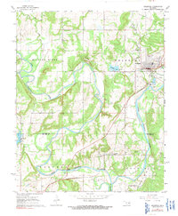
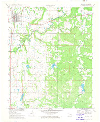
1967 Map of Weleetka
USGS Topo · Published 1968About this map
The North Canadian River carves a winding path through this central Oklahoma landscape, where the local economy of the late 1960s is defined by a dense network of petroleum extraction. Industrial sites such as the Weleetka Oil Field and the West Weleetka Oil Field dominate the terrain north of the river, while the Southwest Alabama Oil Field and East Wetumka Gas Field mark the southern reaches near Wetumka.
Find a feature on this map
33 named features on this map. Tap any name to fly to it.
Don’t see what you’re looking for? This feature index may not catch every label — zoom into the map to look around manually.
Map Details
Editions of this 1967 Weleetka Map
2 editions found
Other maps of this area

1900 · Wewoka
USGS Topo · 1:125,000

1954 · Oklahoma City
USGS Topo · 1:250,000

1957 · Oklahoma City
USGS Topo · 1:250,000

1963 · Oklahoma City
USGS Topo · 1:250,000
1967 · Pharoah
USGS Topo · 1:24,000

1967 · Okemah SE
USGS Topo · 1:24,000

1967 · Okemah
USGS Topo · 1:24,000
1967 · Clearview
USGS Topo · 1:24,000
1967 · Dustin
USGS Topo · 1:24,000
1971 · Wetumka
USGS Topo · 1:24,000