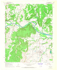
1967 Map of Dustin
USGS Topo · Published 1968About this map
Dustin sits at the junction of two major rail lines in this late-1960s survey of the Okfuskee and Hughes County border region. The landscape is defined by the energy industry, with the Weleetka Oil and Gas Field and the Gregory Oil and Gas Field dominating the northern and central terrain. The North Canadian River carves a winding path through the center, paralleled by the St Louis - San Francisco railroad. Cultural landmarks like Graham School and Thewatie Church provide essential reference points for genealogists tracing local families. The presence of an Old Railroad Grade and the Kansas Oklahoma and Gulf tracks near the Sewage Disposal Ponds reflects the area's transition from a rail-heavy transit hub to a center for gas extraction and local utility infrastructure.
Find a feature on this map
25 named features on this map. Tap any name to fly to it.
Don’t see what you’re looking for? This feature index may not catch every label — zoom into the map to look around manually.
Map Details
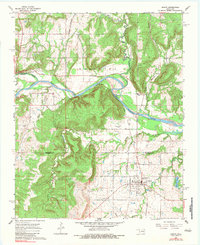
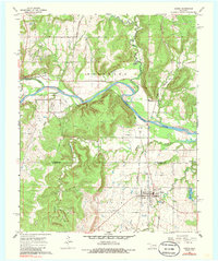
Editions of this 1967 Dustin Map
3 editions found
Other maps of this area

1900 · Canadian
USGS Topo · 1:125,000

1900 · Wewoka
USGS Topo · 1:125,000

1946 · Fort Smith
USGS Topo · 1:250,000

1954 · Oklahoma City
USGS Topo · 1:250,000

1957 · Oklahoma City
USGS Topo · 1:250,000

1962 · Henryetta
USGS Topo · 1:24,000

1962 · Henryetta SW
USGS Topo · 1:24,000

1963 · Oklahoma City
USGS Topo · 1:250,000

1965 · Fort Smith
USGS Topo · 1:250,000

1967 · Fort Smith
USGS Topo · 1:250,000