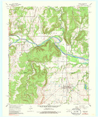
1967 Map of Dustin
USGS Topo · Published 1986About this map
The town of Dustin serves as the hub of this mid-century survey, situated at the boundary of Okfuskee and Hughes counties. The landscape is defined by the winding course of the North Canadian River and an extensive network of petroleum extraction, including the Gregory Oil and Gas Field and the West Dustin Oil Field. Evidence of industrial evolution is visible in the transportation corridors, where the Kansas Oklahoma and Gulf Railroad and St Louis San Francisco lines intersect with an Old Railroad Grade. For local historians and genealogists, the map identifies specific community landmarks such as the Dustin Cemetery, Mosewiley Cemetery, and Thewatie Church. The topography varies from the river bottomlands to the wooded heights of the Weleetka and Dustin hills, with small water bodies like Dustin Lake and numerous creeks punctuating the terrain.
Find a feature on this map
32 named features on this map. Tap any name to fly to it.
Don’t see what you’re looking for? This feature index may not catch every label — zoom into the map to look around manually.
Map Details
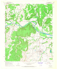
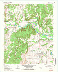
Editions of this 1967 Dustin Map
3 editions found
Other maps of this area

1900 · Canadian
USGS Topo · 1:125,000

1900 · Wewoka
USGS Topo · 1:125,000

1946 · Fort Smith
USGS Topo · 1:250,000

1954 · Oklahoma City
USGS Topo · 1:250,000

1957 · Oklahoma City
USGS Topo · 1:250,000

1962 · Henryetta
USGS Topo · 1:24,000

1962 · Henryetta SW
USGS Topo · 1:24,000

1963 · Oklahoma City
USGS Topo · 1:250,000

1965 · Fort Smith
USGS Topo · 1:250,000

1967 · Fort Smith
USGS Topo · 1:250,000