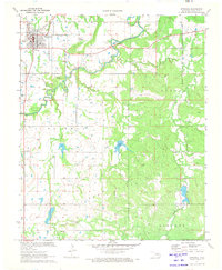
1971 Map of Wetumka
USGS Topo · Published 1973About this map
Wetumka sits at the intersection of local transportation and industry, serving as the primary settlement on this 1971 landscape. The community is anchored by the St L-S F railroad and several religious centers including Wetumka Ch and the outlying Lone Star Ch. The surrounding territory is heavily shaped by energy extraction, with the Wetumka Gas Field, Dustin Gas Field, and Barnard Gas Field defining much of the land use south and east of town.
Find a feature on this map
27 named features on this map. Tap any name to fly to it.
Don’t see what you’re looking for? This feature index may not catch every label — zoom into the map to look around manually.
Map Details
Editions of this 1971 Wetumka Map
2 editions found
Other maps of this area

1900 · Wewoka
USGS Topo · 1:125,000

1954 · Oklahoma City
USGS Topo · 1:250,000

1957 · Oklahoma City
USGS Topo · 1:250,000

1963 · Oklahoma City
USGS Topo · 1:250,000

1967 · Okemah SE
USGS Topo · 1:24,000

1967 · Weleetka
USGS Topo · 1:24,000
1967 · Dustin
USGS Topo · 1:24,000
1970 · Lamar
USGS Topo · 1:24,000
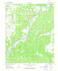
1971 · Wetumka SE
USGS Topo · 1:24,000
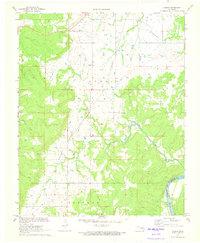
1971 · Carson
USGS Topo · 1:24,000