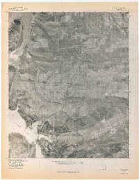
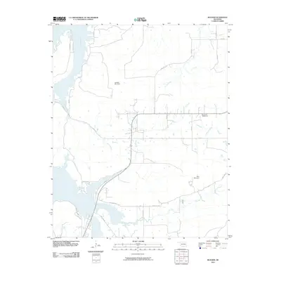
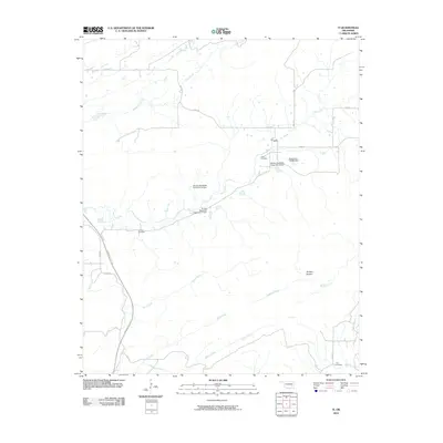
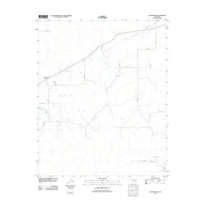
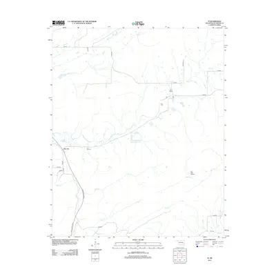
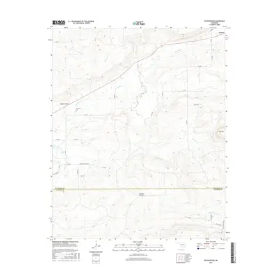
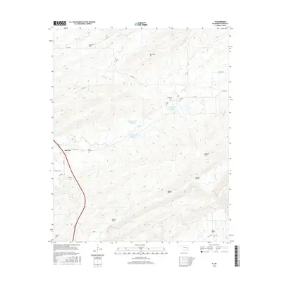
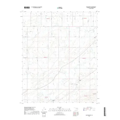
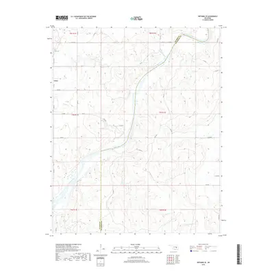
1971 Map of Wetumka SE
USGS Topo · Published 1972About this map
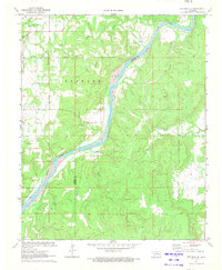
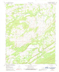
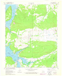
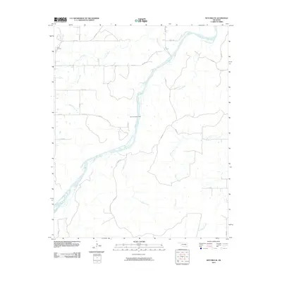
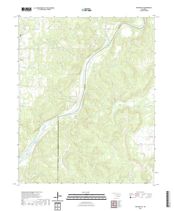
The Canadian River carves a wide path through this portion of Hughes and Pittsburg Counties, serving as the primary natural boundary and focal point of the local topography. Along its northern banks, the Missouri Pacific railroad corridor cuts across the landscape near the Lamar Cem and the small settlement of Graves. The area is characterized by a network of drainage systems, including Sandy Creek, Scipio Creek, and Gobbler Creek, which feed into the main river channel from the surrounding uplands. Local heritage is grounded in landmarks such as the Tulmochasse Ch, while the presence of the Gas Field in the northern sections indicates the region's mid-century energy production. Industrial and agricultural development is balanced by the natural relief of the Barnard terrain, providing a look at eastern Oklahoma's rural landscape just before the further modernization of the early 1970s.
Find a feature on this map
20 named features on this map. Tap any name to fly to it.
Don’t see what you’re looking for? This feature index may not catch every label — zoom into the map to look around manually.
Map Details
Editions of this 1971 Wetumka SE Map
This is the sole edition of this map. No revisions or reprints were ever made.
Historical Maps of Lamar Through Time
55 maps found
1898 Mc Alester
Pittsburg County, OK
1909 Mc Alester
Pittsburg County, OK
1950 Mcalester
Pittsburg County, OK
1967 Hartshorne SW
Pittsburg County, OK
1967 Mc Alester
Pittsburg County, OK
1967 Mc Alester SW
Pittsburg County, OK
1969 Featherston
Pittsburg County, OK
1971 Blocker
Pittsburg County, OK
1971 Lake Mc Alester
Pittsburg County, OK
1971 Wetumka SE
Pittsburg County, OK
1973 Counts
Pittsburg County, OK
1973 Ti
Pittsburg County, OK
1977 Blocker
Pittsburg County, OK
1977 Featherston
Pittsburg County, OK

1991 Mc Alester
Pittsburg County, OK
2009 Counts
Pittsburg County, OK
2009 Hartshorne SW
Pittsburg County, OK
2010 Blocker
Pittsburg County, OK
2010 Featherston
Pittsburg County, OK
2010 Lake McAlester
Pittsburg County, OK
2010 McAlester SW
Pittsburg County, OK
2010 Ti
Pittsburg County, OK
2010 Wetumka SE
Pittsburg County, OK
2012 Blocker
Pittsburg County, OK
2012 Counts
Pittsburg County, OK
2012 Featherston
Pittsburg County, OK
2012 Hartshorne SW
Pittsburg County, OK
2012 Lake McAlester
Pittsburg County, OK
2012 McAlester SW
Pittsburg County, OK
2012 Ti
Pittsburg County, OK
2012 Wetumka SE
Pittsburg County, OK
2016 Blocker
Pittsburg County, OK
2016 Counts
Pittsburg County, OK
2016 Featherston
Pittsburg County, OK
2016 Hartshorne SW
Pittsburg County, OK
2016 Lake McAlester
Pittsburg County, OK
2016 McAlester SW
Pittsburg County, OK
2016 Ti
Pittsburg County, OK

2016 Wetumka SE
Pittsburg County, OK
2018 Blocker
Pittsburg County, OK
2018 Counts
Pittsburg County, OK
2018 Featherston
Pittsburg County, OK
2018 Hartshorne SW
Pittsburg County, OK
2018 Lake McAlester
Pittsburg County, OK
2018 McAlester SW
Pittsburg County, OK
2018 Ti
Pittsburg County, OK
2018 Wetumka SE
Pittsburg County, OK
2022 Blocker
Pittsburg County, OK
2022 Counts
Pittsburg County, OK
2022 Featherston
Pittsburg County, OK
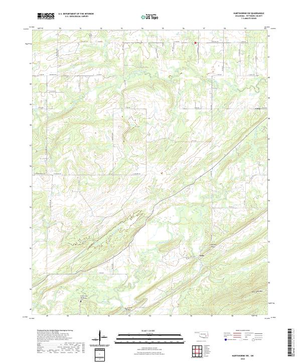
2022 Hartshorne SW
Pittsburg County, OK
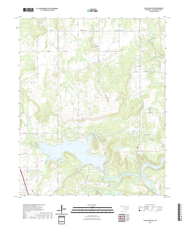
2022 Lake McAlester
Pittsburg County, OK
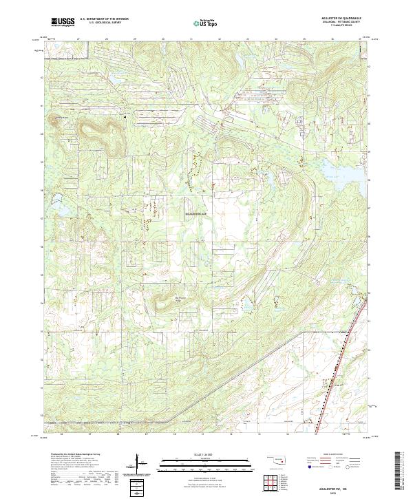
2022 McAlester SW
Pittsburg County, OK
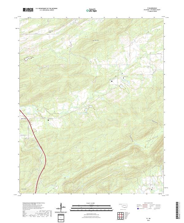
2022 Ti
Pittsburg County, OK
2022 Wetumka SE
Pittsburg County, OK