Old Maps of Bearden, Oklahoma for Genealogy
Trace your family roots with 29 historic maps of Bearden. These high-res maps reveal old neighborhoods, homesites, landmarks, and streets — helping you uncover where your ancestors lived and how the area evolved over time.
- Explore historic neighborhoods: Identify where your relatives may have lived in the 1800s or 1900s.
- Compare maps over time: Trace the changes in streets, buildings, and landmarks for multi-generational research.
- Perfect for genealogy & ancestry research: Used by family historians and researchers to map out lineage and migration.
These maps are an incredible resource for exploring your personal connection to Bearden's past.
Bearden, OK maps
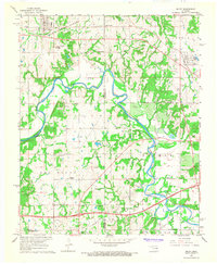
(29)- 1900 Map of Wewoka
 1900 Wewoka1900 Print · USGSIndian Territory at the turn of the century shows a landscape defined by tribal nations and the early expansion of the railway. Genealogists can trace family homesteads near Wewoka and Holdenville, or locate remote landmarks like Marks Store and the Baptist Mission.4 unique versions available
 - 1954 Map of Oklahoma City
 1954 Oklahoma City1954 Print · USGSOklahoma City and its surrounding counties are captured here in the early fifties during a period of significant postwar growth. Researchers can trace the development of the Turner Turnpike and locate aviation hubs like Tinker Field or Will Rogers Field.
 - 1957 Map of Oklahoma City, 1969 Print
 1957 Oklahoma City1969 Print · USGSCentral Oklahoma is captured here in a period of significant mid-century growth and industrialization. Researchers can trace family roots through numerous rural markers like Memory Lane Cem, New Hope School, and the sprawling grounds of Tinker Air Force Base.3 unique versions available
 - 1963 Map of Oklahoma City
 1963 Oklahoma City1963 Print · USGSCentral Oklahoma in the early sixties showcases a landscape of rapid suburban growth and established oil production. Researchers can trace historic rail lines like the Chicago Rock Island and Pacific RR or locate rural landmarks such as Mayflower School and Bethel Church.
 - 1967 Map of Cromwell, 1968 Print
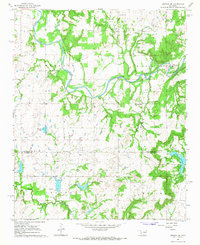
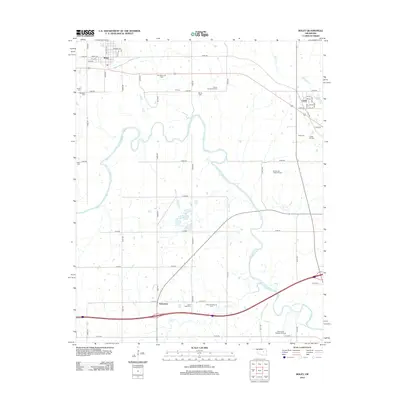
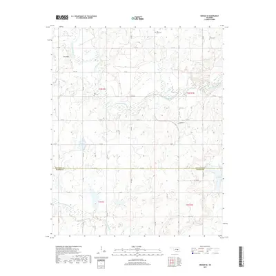
 1967 Cromwell1968 Print · USGSMid-century Oklahoma energy production and rural community life meet in this 1960s survey of the Seminole County borderlands. Genealogists and historians can locate the Childrens Home, Quarsarty Ch, and legacy family sites at Bearden Cem or Butner.
 - 1967 Map of Okemah SE, 1968 Print
 1967 Okemah SE1968 Print · USGSOklahoma's petroleum landscape is captured here in the late sixties along the North Canadian River. Genealogists and historians can trace rural landmarks like the Lone Star Sch, Thlopthlocco Ch, and the Papoose Oil Field.2 unique versions available
 - 1967 Map of Okemah, 1968 Print
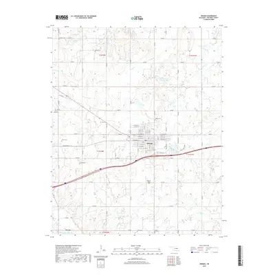
 1967 Okemah1968 Print · USGSOkemah and the surrounding oil fields are captured here in the late sixties, showcasing the area's industrial footprint and civic layout. Researchers can locate family landmarks like Highland Cemetery, Buckeye Church, and the Lincoln School.2 unique versions available
 - 1967 Map of Boley, 1968 Print
 1967 Boley1968 Print · USGSThe Oklahoma landscape near Boley and Castle is captured here in the late sixties as the winding North Canadian River defines the rural boundaries. Genealogists can trace local roots through numerous country landmarks like St Emmanuel Ch, Boley Cem, and the Sand Creek Sch.2 unique versions available
 - 1985 Map of Shawnee
 1985 Shawnee1985 Print · USGSCentral Oklahoma in the mid-eighties shows a landscape shaped by the North Canadian River and a maturing highway network. Trace family roots and old rail lines through Holdenville, Seminole, and the grounds of St Gregory College.2 unique versions available
 - 2009 Map of Okemah, 2009 Print
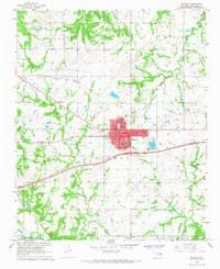
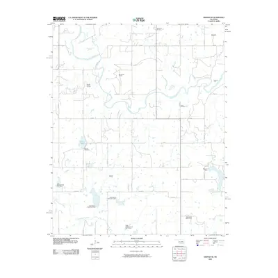
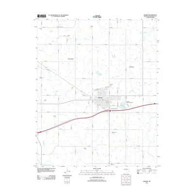
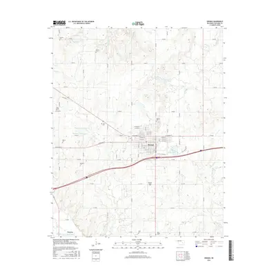
 2009 Okemah2009 Print · USGSCovers Bearden, including Okemah, Okfuskee County, and other nearby areas
 - 2009 Map of Okemah SE, 2009 Print
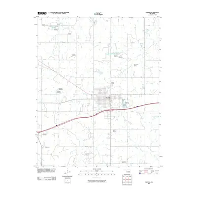
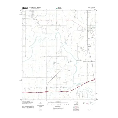
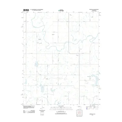
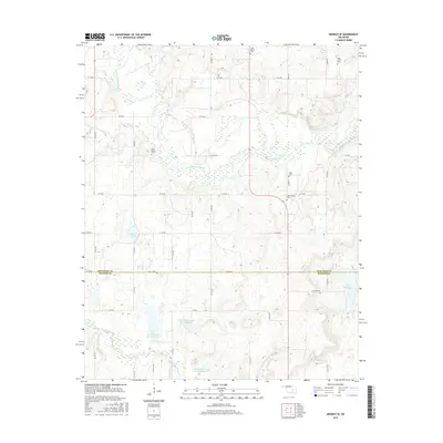
 2009 Okemah SE2009 Print · USGSCovers Bearden, including Hughes County, Okfuskee County, and other nearby areas
 - 2009 Map of Cromwell, 2009 Print
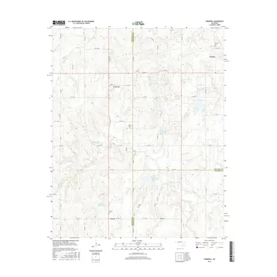
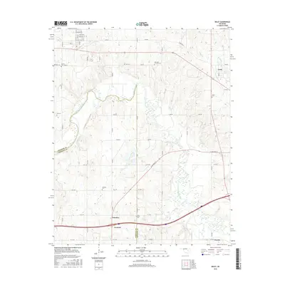
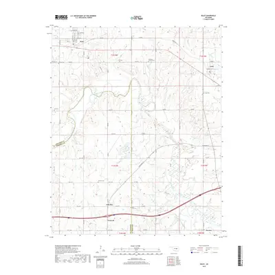
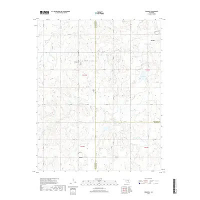
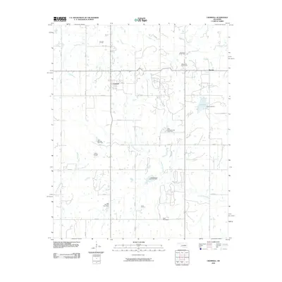 2009 Cromwell2009 Print · USGSCovers Bearden, including Cromwell, Butner, and other nearby areas
 - 2009 Map of Boley, 2009 Print
 2009 Boley2009 Print · USGSCovers Bearden, including Boley, Cromwell, and other nearby areas
 - 2012 Map of Cromwell, 2012 Print
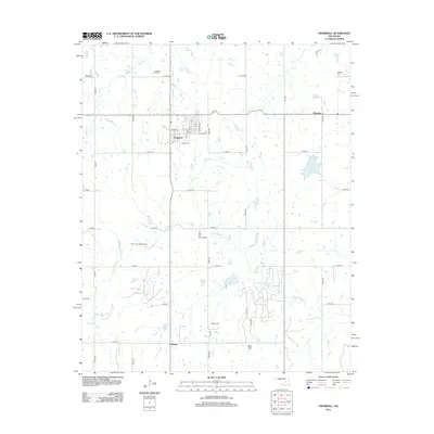 2012 Cromwell2012 Print · USGSCovers Bearden, including Cromwell, Butner, and other nearby areas
 - 2012 Map of Okemah, 2012 Print
 2012 Okemah2012 Print · USGSCovers Bearden, including Okemah, Okfuskee County, and other nearby areas
 - 2012 Map of Okemah SE, 2012 Print
 2012 Okemah SE2012 Print · USGSCovers Bearden, including Hughes County, Okfuskee County, and other nearby areas
 - 2012 Map of Boley, 2012 Print
 2012 Boley2012 Print · USGSCovers Bearden, including Boley, Cromwell, and other nearby areas
 - 2016 Map of Cromwell, 2016 Print
 2016 Cromwell2016 Print · USGSCovers Bearden, including Cromwell, Butner, and other nearby areas
 - 2016 Map of Okemah, 2016 Print
 2016 Okemah2016 Print · USGSCovers Bearden, including Okemah, Okfuskee County, and other nearby areas
 - 2016 Map of Okemah SE, 2016 Print
 2016 Okemah SE2016 Print · USGSCovers Bearden, including Hughes County, Okfuskee County, and other nearby areas
 - 2016 Map of Boley, 2016 Print
 2016 Boley2016 Print · USGSCovers Bearden, including Boley, Cromwell, and other nearby areas
 - 2018 Map of Boley, 2018 Print
 2018 Boley2018 Print · USGSCovers Bearden, including Boley, Cromwell, and other nearby areas
 - 2018 Map of Okemah SE, 2018 Print
 2018 Okemah SE2018 Print · USGSCovers Bearden, including Hughes County, Okfuskee County, and other nearby areas
 - 2018 Map of Cromwell, 2018 Print
 2018 Cromwell2018 Print · USGSCovers Bearden, including Cromwell, Butner, and other nearby areas
 - 2018 Map of Okemah, 2018 Print
 2018 Okemah2018 Print · USGSCovers Bearden, including Okemah, Okfuskee County, and other nearby areas
Showing maps 1-25 of 29
Top cities near Bearden
- Seminole historical maps
- Wewoka historical maps
- Okemah historical maps
- Wetumka historical maps
- Boley historical maps
- Paden historical maps
See more
Frequently asked questions
- What are the different types of historical maps available for Bearden?
- What is the oldest map of Bearden?
- Where can I purchase historical maps of Bearden for my home or office?
- Where can I download high-res historical maps of Bearden?
- Are there historical topographic maps available for Bearden?
- Is there historical aerial imagery available for Bearden?
- Where are historical maps of Bearden sourced from?