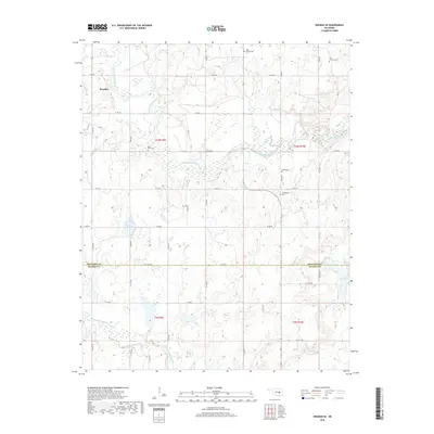
2018 Map of Okemah SE
USGS Topo · Published 2018About this map
The Bearden settlement and the meandering channel of the North Canadian River anchor this central Oklahoma landscape along the Okfuskee Co and Hughes Co line. The area is defined by a dense network of sectional roads and family or community landmarks, particularly evident in the high concentration of burial grounds. Genealogists and local historians can trace the locations of High Spring Cem, Saint Paul's Cem, Shiloh Cem, Thlopthlocco Cem, and Rock Creek Cem, which reflect the area's diverse cultural and community foundations. The terrain transitions from the river's floodplain to the lower reaches of Little Wewoka Creek and the shores of Lake Wetumka in the southeast. While much of the quadrangle is rural and divided into township sections like t10n r9e and t10n r10e, the small reservoir at Stanley Lake and the various numbered county roads provide a detailed record of late-2010s land use and local access.
Find a feature on this map
43 named features on this map. Tap any name to fly to it.
Don’t see what you’re looking for? This feature index may not catch every label — zoom into the map to look around manually.
Map Details
Editions of this 2018 Okemah SE Map
This is the sole edition of this map. No revisions or reprints were ever made.
Other maps of this area
1900 · Wewoka
USGS Topo · 1:125,000
1954 · Oklahoma City
USGS Topo · 1:250,000
1957 · Oklahoma City
USGS Topo · 1:250,000
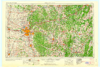
1963 · Oklahoma City
USGS Topo · 1:250,000
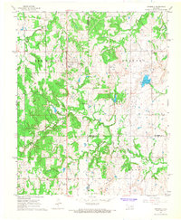
1967 · Cromwell
USGS Topo · 1:24,000
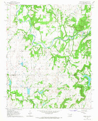
1967 · Okemah SE
USGS Topo · 1:24,000
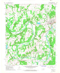
1967 · Weleetka
USGS Topo · 1:24,000
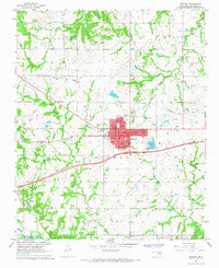
1967 · Okemah
USGS Topo · 1:24,000
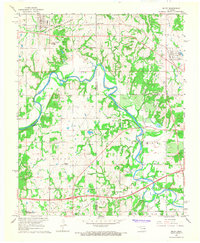
1967 · Boley
USGS Topo · 1:24,000
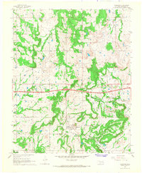
1967 · Clearview
USGS Topo · 1:24,000