Old Maps of Warr Acres, Oklahoma for Metal Detecting
Plan your next treasure hunt with 22 historic maps of Warr Acres. Find old homesites, ghost towns, trails, and gathering spots that may be lost to time — perfect for identifying promising metal detecting locations.
- Locate forgotten sites: Uncover places like long-lost settlements, abandoned rail lines, or gathering spots.
- Plan better hunts: Use map overlays combined with LiDAR or satellite views to narrow in on historically rich areas.
- Made for detectorists: Thousands of hobbyists use these maps to discover relics, coins, and hidden history.
Use these historic maps to boost your research and find new opportunities beneath the surface of Warr Acres.
Warr Acres, OK maps
(22)- 1892 Map of Kingfisher, 1957 Print
 1892 Kingfisher1957 Print · USGSOklahoma Territory was in a state of rapid transition during the 1890s as railroads and cattle trails shared the same landscape. Researchers can trace the original Chisholm Trail alongside early settlements like Mathewson and river crossings such as Kirby Ford.
 - 1895 Map of Kingfisher
 1895 Kingfisher1895 Print · USGSOklahoma Territory during the mid-1890s reveals a rapidly developing frontier defined by river crossings and expanding rail lines. Genealogists and historians can trace the early foundations of Kingfisher, Elreno, and Yukon alongside historic river crossings like Gould Ford.4 unique versions available
 - 1951 Map of Britton, 1952 Print
 1951 Britton1952 Print · USGSOklahoma City's northern suburbs were rapidly evolving in the early fifties as residential tracts began to surround the massive Lake Hefner. Genealogists and historians can trace the growth of Britton, Nichols Hills, and Warr Acres alongside landmarks like Rose Hill Burial Park and the Wiley Post Airport.6 unique versions available
 - 1954 Map of Oklahoma City
 1954 Oklahoma City1954 Print · USGSOklahoma City and its surrounding counties are captured here in the early fifties during a period of significant postwar growth. Researchers can trace the development of the Turner Turnpike and locate aviation hubs like Tinker Field or Will Rogers Field.
 - 1957 Map of Oklahoma City, 1969 Print
 1957 Oklahoma City1969 Print · USGSCentral Oklahoma is captured here in a period of significant mid-century growth and industrialization. Researchers can trace family roots through numerous rural markers like Memory Lane Cem, New Hope School, and the sprawling grounds of Tinker Air Force Base.3 unique versions available
 - 1963 Map of Oklahoma City
 1963 Oklahoma City1963 Print · USGSCentral Oklahoma in the early sixties showcases a landscape of rapid suburban growth and established oil production. Researchers can trace historic rail lines like the Chicago Rock Island and Pacific RR or locate rural landmarks such as Mayflower School and Bethel Church.
 - 1966 Map of Bethany, 1967 Print
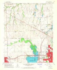 1966 Bethany1967 Print · USGSOklahoma City's western expansion is in full swing during the mid-sixties, showing the transition from oil fields and gravel pits to bustling suburban corridors. Researchers can trace the development of local institutions like Bethany College and St. Francis DeSales Seminary or locate family plots at Chapel Hill Memorial Gardens Cemetery.3 unique versions available
 - 1986 Map of Britton, 1987 Print
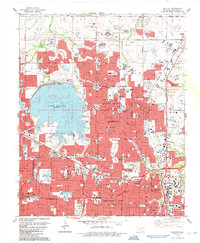 1986 Britton1987 Print · USGSOklahoma City's northern suburbs reached a period of rapid residential and commercial expansion during the mid-eighties. Researchers can trace the layout of Nichols Hills and The Village, locating landmarks like Rose Hill Burial Park and the historic rails of Britton.
 - 1986 Map of Bethany, 1987 Print
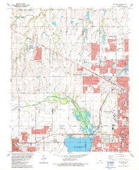 1986 Bethany1987 Print · USGSOklahoma City and its neighbors were expanding rapidly in the mid-eighties as suburban developments began to flank the North Canadian River. Genealogists and local historians can trace the foundations of BETHANY and WARR ACRES alongside sites like Bethany College and St Joseph Cem.
 - 1990 Map of Oklahoma City North
 1990 Oklahoma City North1990 Print · USGSOklahoma City and its northern reaches are captured in the 1990s as suburban growth stretched toward the Cimarron River. Genealogists and historians can trace rail-town legacies along the Atchison Topeka and Santa Fe Railroad and find landmarks like the El Reno Federal Reformatory.
 - 1995 Map of Bethany, 1999 Print
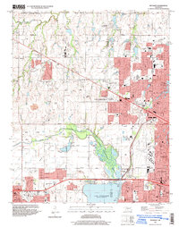 1995 Bethany1999 Print · USGSOklahoma City and its neighbors were rapidly expanding toward the turn of the millennium, centered on critical aviation and water resources. Genealogists and local historians can locate established landmarks like Bethany College, Wiley Post Airport, and the Chapel Hill Memorial Gardens Cemetery.
 - 1995 Map of Britton, 1999 Print
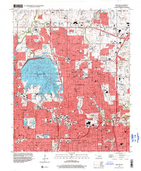 1995 Britton1999 Print · USGSThe northern suburbs of Oklahoma City are shown in detail during the mid-nineties, capturing a landscape defined by rapid residential growth and water management. Researchers can locate family sites near Rose Hill Burial Park or trace the early paths of The Village and Britton.
 - 2009 Map of Bethany, 2009 Print
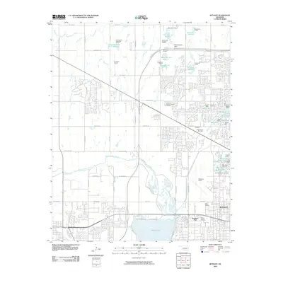 2009 Bethany2009 Print · USGSOklahoma County at the end of the first decade of the 2000s shows a landscape defined by aviation and water engineering. Researchers can trace suburban development around Wiley Post Airport and locate regional landmarks like Saint Josephs Cemetery and Ramsey Lake.
 - 2010 Map of Britton, 2010 Print
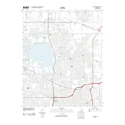 2010 Britton2010 Print · USGSNorthern Oklahoma City was a dense suburban landscape in the early 2000s, where major highways intersected established residential enclaves. Researchers can locate family landmarks like Rose Hill Burial Park or trace the development of Nichols Hills and Britton.
 - 2012 Map of Britton, 2012 Print
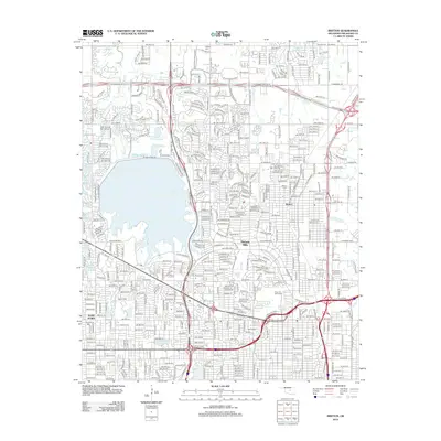 2012 Britton2012 Print · USGSOklahoma City’s northern suburbs and the sprawling Lake Hefner shoreline are shown here during a period of significant infill and modern growth. Researchers can locate specific neighborhoods like Nichols Hills or find family plots at Britton Cem and Rose Hill Burial Park.
 - 2012 Map of Bethany, 2012 Print
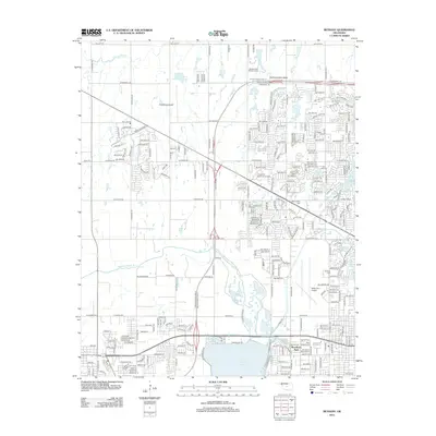 2012 Bethany2012 Print · USGSThe Oklahoma City suburbs and the Bethany area are shown here during a period of significant growth and aviation activity. Researchers can trace institutional grounds like Southern Nazarene Univ or explore local history at Wiley Post Airport and Resurrection Cem.
 - 2016 Map of Britton, 2016 Print
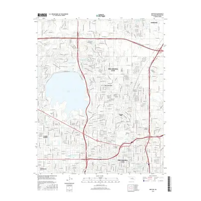 2016 Britton2016 Print · USGSOklahoma City and its northern suburbs are captured in high detail during the mid-2010s, showing the intersection of historic neighborhoods and modern infrastructure. Genealogists and local historians can locate family plots at Britton Cem or Rose Hill Burial Park, and trace the shoreline of Lake Hefner.
 - 2016 Map of Bethany, 2016 Print
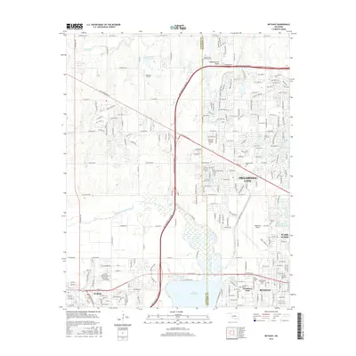 2016 Bethany2016 Print · USGSOklahoma City's western suburbs and the banks of Lake Overholser are detailed in this recent survey. Local historians can trace established institutions like Southern Nazarene Univ and landmarks such as Wiley Post Airport.
 - 2018 Map of Britton, 2018 Print
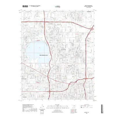 2018 Britton2018 Print · USGSOklahoma City and its northern neighbors appear in a detailed late-century study of suburban expansion and water infrastructure. Researchers can trace the legacy of local families at Britton Cem and Rose Hill Burial Park or locate the historic center of Britton.
 - 2018 Map of Bethany, 2018 Print
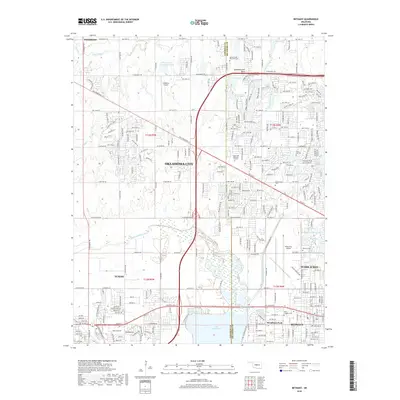 2018 Bethany2018 Print · USGSOklahoma City and its neighboring suburbs are shown in detail during a period of significant growth and development. Researchers can locate family sites among numerous cemeteries like Resurrection Cem or trace the local aviation history of Wiley Post Airport.
 - 2022 Map of Bethany, 2022 Print
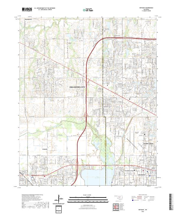 2022 Bethany2022 Print · USGSThe western suburbs of Oklahoma City are captured here in a period of significant density and growth. Local historians can trace the foundations of Bethany and Woodlawn Park near Lake Overholser or locate family sites at Resurrection Cem and Bethany Cem.
 - 2022 Map of Britton, 2022 Print
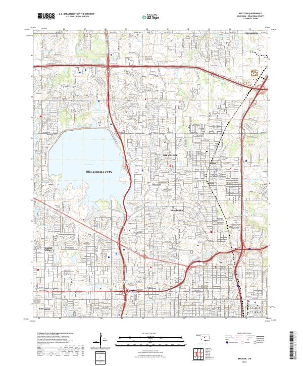 2022 Britton2022 Print · USGSOklahoma City and its northern suburbs are captured in this modern survey during a period of dense residential and commercial maturity. Researchers can trace municipal boundaries for Nichols Hills and The Village or locate historic sites like Britton Cem and Rose Hill Burial Park.
End of results
Showing maps 1-22 of 22
Top cities near Warr Acres
- Oklahoma City historical maps
- Norman historical maps
- Edmond historical maps
- Midwest City historical maps
- Moore historical maps
- Yukon historical maps
See more
Frequently asked questions
- What are the different types of historical maps available for Warr Acres?
- What is the oldest map of Warr Acres?
- Where can I purchase historical maps of Warr Acres for my home or office?
- Where can I download high-res historical maps of Warr Acres?
- Are there historical topographic maps available for Warr Acres?
- Is there historical aerial imagery available for Warr Acres?
- Where are historical maps of Warr Acres sourced from?