Old Maps of Bray, Oklahoma for Hiking & Exploration
Hike through history with 34 historic maps of Bray. Explore old trails, ghost towns, and forgotten backroads — perfect for outdoor adventurers and local explorers.
- Rediscover forgotten places: Map out old mining camps, roads, and footpaths that no longer exist on modern maps.
- Layer with modern tools: Combine with LiDAR or satellite views to plan hikes through historical terrain.
- Made for exploration: Popular among hikers, overlanders, and local history lovers.
Use these maps to find adventure and explore the hidden past of Bray.
Bray, OK maps
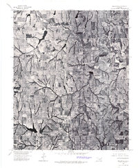
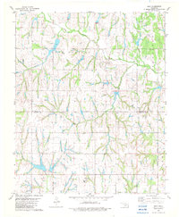
(34)- 1902 Map of Rush Springs
 1902 Rush Springs1902 Print · USGSThe Chickasaw Nation landscape at the turn of the century is defined by its deep river valleys and the arrival of the iron horse. Genealogists can trace early homesteads and rail-side growth in Rush Springs, Marlow, and settlements like Erin Springs along the Washita River.4 unique versions available
 - 1950 Map of Marlow, 1973 Print
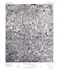
 1950 Marlow1973 Print · USGSMid-century Stephens County comes alive in this survey of the Marlow and Duncan corridor during a period of oil growth and educational shifts. Genealogists can locate family-named landmarks like Short Cem or rural schoolhouses including Gatlin Sch and Payne Sch.
 - 1951 Map of Marlow
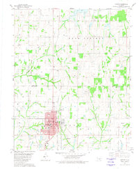
 1951 Marlow1951 Print · USGSStephens County transitions into a modern energy and transit hub during the early fifties, centering on the growing communities of Marlow and Duncan. Genealogists and historians can trace family locations near Union Center Ch, Stover Sch, or the historic path of the Chisholm Trail.2 unique versions available
 - 1957 Map of Ardmore, 1968 Print
 1957 Ardmore1968 Print · USGSSouth-central Oklahoma in the late fifties was a landscape of rising reservoir waters and expanding rail lines. Genealogists and historians can trace the foundations of Ardmore and Duncan or locate early recreation sites at Platt National Park and Lake Murray State Park.3 unique versions available
 - 1963 Map of Ardmore
 1963 Ardmore1963 Print · USGSSouthern Oklahoma during the early sixties shows a landscape defined by the Arbuckle Mountains and a booming energy economy. Genealogists and historians can trace family-named sites across the Ardmore Oil Field, find old schools like Southeastern State College, or locate historic markers such as Boggy Depot State Park.2 unique versions available
 - 1975 Map of Marlow SW, 1976 Print
 1975 Marlow SW1976 Print · USGSCentral Oklahoma's landscape is captured during the mid-seventies, showing the steady growth of Duncan northward into the surrounding plains. Genealogists and local historians can trace specific property boundaries and land use near Lake Humphreys and Wildhorse Creek.
 - 1975 Map of Marlow SE, 1976 Print
 1975 Marlow SE1976 Print · USGSStephens County ranching and water resources are captured in high detail during the mid-seventies. Genealogists and land researchers can trace the natural boundaries of Wildhorse Creek and the shores of Chisholm Trail Lake.
 - 1975 Map of Marlow NE, 1976 Print
 1975 Marlow NE1976 Print · USGSGrady County land use is captured from above in the mid-seventies, showing the intersection of agricultural life and the rolling prairie. Researchers can trace the layout of small crossroads settlements like Bailey and the edges of Bray alongside numerous farm ponds and timbered creek beds.
 - 1975 Map of Marlow NW, 1976 Print
 1975 Marlow NW1976 Print · USGSThe northern reaches of Grady County come into sharp focus in the mid-1970s, showing the intersection of town life and Oklahoma agriculture. Genealogists and historians can trace the precise layout of Marlow and the meandering path of Wildhorse Creek.
 - 1981 Map of Marlow
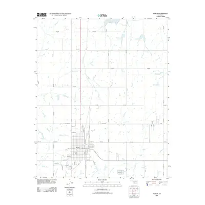
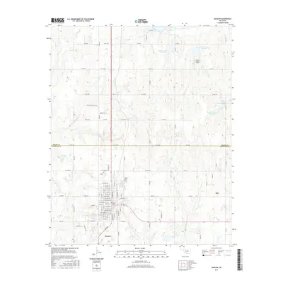
 1981 Marlow1981 Print · USGSMarlow and the surrounding Stephens County oil fields are captured here in the early eighties. Genealogists and local historians can trace the town’s layout from Marlow Cem to residential streets like Caddo Ave and landmarks such as the Armory.
 - 1982 Map of Hope
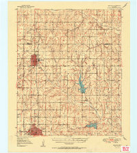
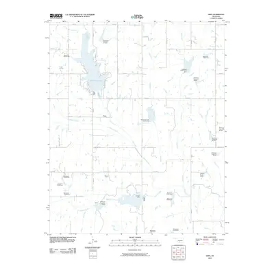
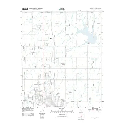
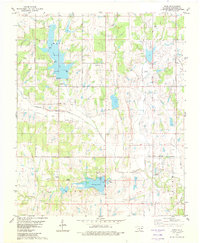 1982 Hope1982 Print · USGSStephens County in the early eighties shows a landscape of growing reservoirs and active oil production near the town of Bray. Genealogists and local historians can locate Cooper Cem, trace the waters of Wildhorse Creek, or find Camp Waluhiyi.
 - 1982 Map of Bray
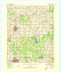
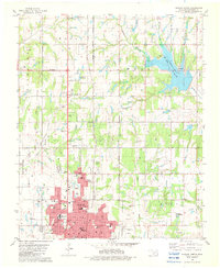
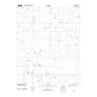
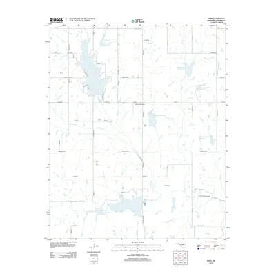
 1982 Bray1982 Print · USGSThe rural border of Grady and Stephens counties is captured in the early eighties as a landscape of creeks and energy production. Genealogists and local historians can locate the Bray Church, the town of Bailey, and the community of Wall near Rush Creek.
 - 1982 Map of Duncan North
 1982 Duncan North1982 Print · USGSStephens County enters the 1980s with a landscape defined by the growth of Duncan and the expanding waters of Lake Humphreys. Researchers can trace neighborhood development through numerous local landmarks like Lee Sch, Old Duncan Cem, and the Copland Landing Strip.
 - 1986 Map of Pauls Valley
 1986 Pauls Valley1986 Print · USGSGarvin County and its neighbors are shown in the mid-1980s during a period of steady growth along the Washita River. Researchers can trace the path of the Atchison Topeka and Santa Fe railroad through Pauls Valley or locate rural sites like Mt Olive Church and Erin Springs.2 unique versions available
 - 2010 Map of Marlow, 2010 Print
 2010 Marlow2010 Print · USGSCovers Bray, including Marlow, Grady County, and other nearby areas
 - 2010 Map of Duncan North, 2010 Print
 2010 Duncan North2010 Print · USGSCovers Bray, including Duncan, Marlow, and other nearby areas
 - 2010 Map of Bray, 2010 Print
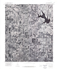
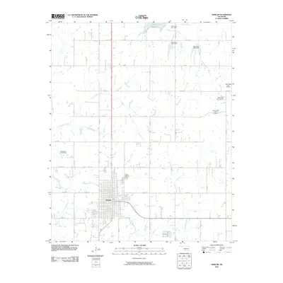
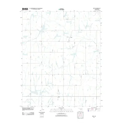
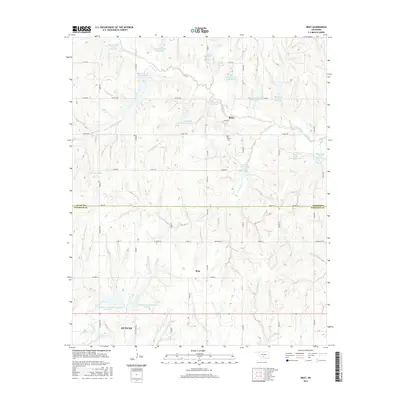
 2010 Bray2010 Print · USGSCovers Bray, including Duncan, Bailey, and other nearby areas
 - 2010 Map of Hope, 2010 Print
 2010 Hope2010 Print · USGSCovers Bray, including Duncan, Hope, and other nearby areas
 - 2012 Map of Bray, 2012 Print
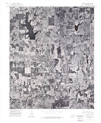
 2012 Bray2012 Print · USGSCovers Bray, including Duncan, Bailey, and other nearby areas
 - 2012 Map of Marlow, 2012 Print
 2012 Marlow2012 Print · USGSCovers Bray, including Marlow, Grady County, and other nearby areas
 - 2012 Map of Duncan North, 2012 Print
 2012 Duncan North2012 Print · USGSCovers Bray, including Duncan, Marlow, and other nearby areas
 - 2012 Map of Hope, 2012 Print
 2012 Hope2012 Print · USGSCovers Bray, including Duncan, Hope, and other nearby areas
 - 2016 Map of Hope, 2016 Print
 2016 Hope2016 Print · USGSCovers Bray, including Duncan, Hope, and other nearby areas
 - 2016 Map of Marlow, 2016 Print
 2016 Marlow2016 Print · USGSCovers Bray, including Marlow, Grady County, and other nearby areas
 - 2016 Map of Bray, 2016 Print
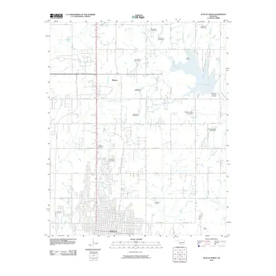
 2016 Bray2016 Print · USGSCovers Bray, including Duncan, Bailey, and other nearby areas
Showing maps 1-25 of 34
Top cities near Bray
- Duncan historical maps
- Marlow historical maps
- Lindsay historical maps
- Comanche historical maps
- Rush Springs historical maps
- Central High historical maps
See more
Top neighborhoods of Bray
Frequently asked questions
- What are the different types of historical maps available for Bray?
- What is the oldest map of Bray?
- Where can I purchase historical maps of Bray for my home or office?
- Where can I download high-res historical maps of Bray?
- Are there historical topographic maps available for Bray?
- Is there historical aerial imagery available for Bray?
- Where are historical maps of Bray sourced from?