Old Maps of Hope, Bray for Metal Detecting
Plan your next treasure hunt with 13 historic maps of Hope. Find old homesites, ghost towns, trails, and gathering spots that may be lost to time — perfect for identifying promising metal detecting locations.
- Locate forgotten sites: Uncover places like long-lost settlements, abandoned rail lines, or gathering spots.
- Plan better hunts: Use map overlays combined with LiDAR or satellite views to narrow in on historically rich areas.
- Made for detectorists: Thousands of hobbyists use these maps to discover relics, coins, and hidden history.
Use these historic maps to boost your research and find new opportunities beneath the surface of Hope.
Hope, Bray maps
(13)- 1902 Map of Rush Springs
 1902 Rush Springs1902 Print · USGSThe Chickasaw Nation landscape at the turn of the century is defined by its deep river valleys and the arrival of the iron horse. Genealogists can trace early homesteads and rail-side growth in Rush Springs, Marlow, and settlements like Erin Springs along the Washita River.4 unique versions available
 - 1950 Map of Marlow, 1973 Print
 1950 Marlow1973 Print · USGSMid-century Stephens County comes alive in this survey of the Marlow and Duncan corridor during a period of oil growth and educational shifts. Genealogists can locate family-named landmarks like Short Cem or rural schoolhouses including Gatlin Sch and Payne Sch.
 - 1951 Map of Marlow
 1951 Marlow1951 Print · USGSStephens County transitions into a modern energy and transit hub during the early fifties, centering on the growing communities of Marlow and Duncan. Genealogists and historians can trace family locations near Union Center Ch, Stover Sch, or the historic path of the Chisholm Trail.2 unique versions available
 - 1957 Map of Ardmore, 1968 Print
 1957 Ardmore1968 Print · USGSSouth-central Oklahoma in the late fifties was a landscape of rising reservoir waters and expanding rail lines. Genealogists and historians can trace the foundations of Ardmore and Duncan or locate early recreation sites at Platt National Park and Lake Murray State Park.3 unique versions available
 - 1963 Map of Ardmore
 1963 Ardmore1963 Print · USGSSouthern Oklahoma during the early sixties shows a landscape defined by the Arbuckle Mountains and a booming energy economy. Genealogists and historians can trace family-named sites across the Ardmore Oil Field, find old schools like Southeastern State College, or locate historic markers such as Boggy Depot State Park.2 unique versions available
 - 1975 Map of Marlow SE, 1976 Print
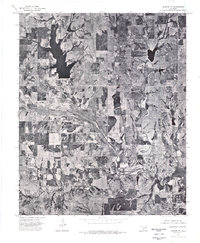 1975 Marlow SE1976 Print · USGSStephens County ranching and water resources are captured in high detail during the mid-seventies. Genealogists and land researchers can trace the natural boundaries of Wildhorse Creek and the shores of Chisholm Trail Lake.
 - 1982 Map of Hope
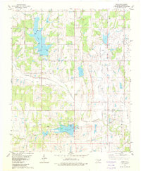 1982 Hope1982 Print · USGSStephens County in the early eighties shows a landscape of growing reservoirs and active oil production near the town of Bray. Genealogists and local historians can locate Cooper Cem, trace the waters of Wildhorse Creek, or find Camp Waluhiyi.
 - 1986 Map of Pauls Valley
 1986 Pauls Valley1986 Print · USGSGarvin County and its neighbors are shown in the mid-1980s during a period of steady growth along the Washita River. Researchers can trace the path of the Atchison Topeka and Santa Fe railroad through Pauls Valley or locate rural sites like Mt Olive Church and Erin Springs.2 unique versions available
 - 2010 Map of Hope, 2010 Print
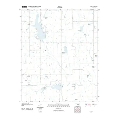 2010 Hope2010 Print · USGSIn the rural reaches of Stephens County, Oklahoma, this map shows the community of Hope and the surrounding watersheds just after the turn of the millennium. Researchers can trace local burial sites at Cooper Cemetery and explore the geography of Clear Creek Lake and Camp Waluhiyi.
 - 2012 Map of Hope, 2012 Print
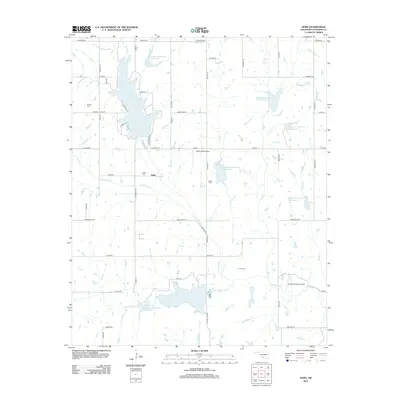 2012 Hope2012 Print · USGSNear Duncan in the early 2010s, this Stephens County landscape shows a complex network of managed reservoirs and rural homesteads. Genealogists and local historians can locate Hope Cemetery, Cruce Cemetery, and the recreation areas surrounding Clear Creek Lake.
 - 2016 Map of Hope, 2016 Print
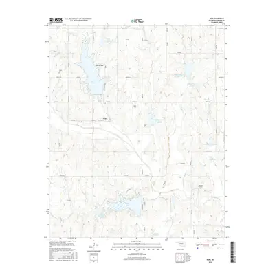 2016 Hope2016 Print · USGSStephens County comes into focus in the mid-2010s, revealing a landscape of rural Oklahoma homesteads and significant water management projects. Genealogists and local historians can trace family locations through Hope Cem and Cruce Cem or locate rural landmarks like Wolfe Field.
 - 2018 Map of Hope, 2018 Print
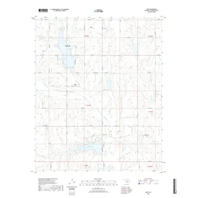 2018 Hope2018 Print · USGSStephens County in the late 2010s shows a landscape of growing towns and established ranch lands centered around major reservoirs. Genealogists and local historians can trace family ties at Hope Cem or Cruce Cem, and locate landmarks like Ketchum Ranch Airport and Duncan Lake.
 - 2022 Map of Hope, 2022 Print
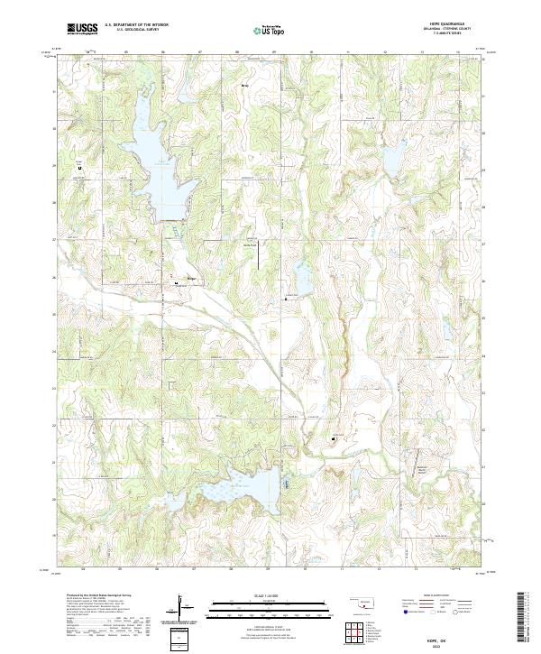 2022 Hope2022 Print · USGSStephens County is mapped here in the early 2020s, showing a rural landscape shaped by its reservoirs and creek systems. Genealogists can locate family burial sites like Colbert Cem and Cruce Cem or trace the rural settlements of Hope and Bray.
End of results
Showing maps 1-13 of 13
Top cities near Hope
- Duncan historical maps
- Marlow historical maps
- Comanche historical maps
- Rush Springs historical maps
- Bray historical maps
- Central High historical maps
See more
Frequently asked questions
- What are the different types of historical maps available for Hope?
- What is the oldest map of Hope?
- Where can I purchase historical maps of Hope for my home or office?
- Where can I download high-res historical maps of Hope?
- Are there historical topographic maps available for Hope?
- Is there historical aerial imagery available for Hope?
- Where are historical maps of Hope sourced from?