2000s (21st Century) Maps of Duncan, Oklahoma
Explore 40 historic maps of Duncan from the 2000s (21st Century). These maps offer a rare glimpse into what life looked like during the 2000s — showing old roads, neighborhoods, homes, and landmarks that have changed or disappeared over time.
Whether you're researching your family's past, planning a metal detecting trip, or studying how Duncan's landscape evolved across the 2000s, these high-resolution maps are a powerful tool for exploring the history of this region.
- Focus on a specific era: All maps on this page are from the 2000s, giving you a focused view of this time period.
- See what’s changed: Compare century-old streets, trails, and buildings to today's modern landscape using overlays and satellite layers.
- Research with precision: Use these maps for genealogy, historical research, land use analysis, or educational projects.
- View, download, or print: Maps are fully viewable online in high resolution, and can be downloaded or printed for your own records.
Start exploring Duncan's history through authentic maps from the 2000s. This is your window into the past.
Duncan, OK maps
(40)- 2009 Map of Cox City, 2009 Print
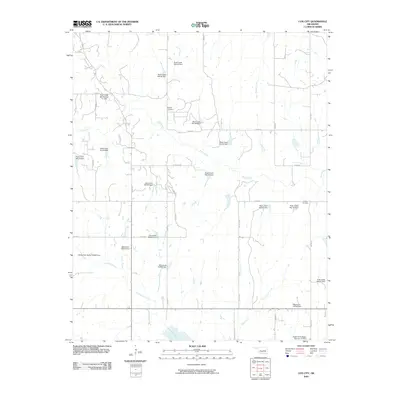 2009 Cox City2009 Print · USGSStephens County at the end of the first decade of the 2000s shows a landscape intricately shaped by water management and rural tradition. Local history researchers can locate family sites near Killgore Cemetery, Tidwell Cemetery, and the banks of Rush Creek.
 - 2009 Map of Duncan South, 2009 Print
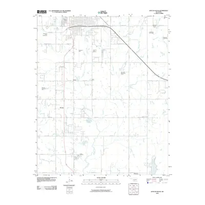 2009 Duncan South2009 Print · USGSThe southern outskirts of Duncan and the surrounding prairie come into focus at the dawn of the 2000s. Researchers can trace family roots through the Duncan Cemetery and Fairlawn Cemeteries, or locate mid-century landmarks like Halliburton Field and Bible Camp.
 - 2009 Map of Nellie, 2009 Print
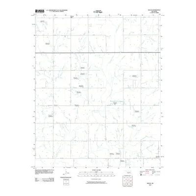 2009 Nellie2009 Print · USGSStephens County in the early 2000s is shown here as an area of dense water management and rural section-line roads. Trace family history at Rock Creek Cemetery or locate the various water works such as Oknoname 137010 Reservoir and the community of Central High.
 - 2010 Map of Empire City, 2010 Print
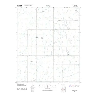 2010 Empire City2010 Print · USGSEmpire City and the surrounding oil fields are captured here in the early 2000s, reflecting a landscape shaped by petroleum and ranching. Researchers can locate specific sites within the West Duncan Oil and Gas Field and trace rural roads like Dr Pepper Rd.
 - 2010 Map of Duncan North, 2010 Print
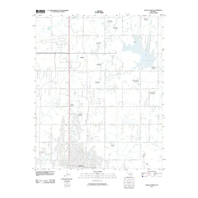 2010 Duncan North2010 Print · USGSThe northern edges of Duncan and Marlow come into focus in the early 2000s, showing a landscape defined by new residential growth and extensive water management. Researchers can locate Old Duncan Cemetery, trace the shores of Lake Humpherys, or find the Copland Airport.
 - 2010 Map of Lake Fuqua, 2010 Print
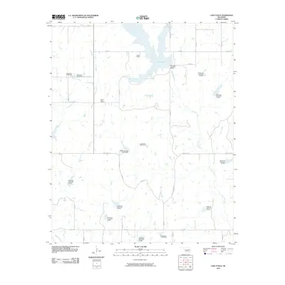 2010 Lake Fuqua2010 Print · USGSStephens County at the start of the 2010s reveals a rural landscape defined by sophisticated water management and local heritage. Genealogists and historians can locate Owens Prairie Cemetery or trace the many flood control structures like Wildhorse Creek Site 39 Dam and Oknoname 137051 Dam.
 - 2010 Map of Bray, 2010 Print
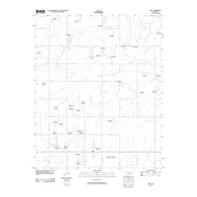 2010 Bray2010 Print · USGSStephens County in the early twenty-first century reveals a landscape defined by water management and rural aviation. Researchers can trace the extensive network of flood control dams along Rush Creek or locate the Alford A Bratchar Airport near the community of Bray.
 - 2010 Map of Hope, 2010 Print
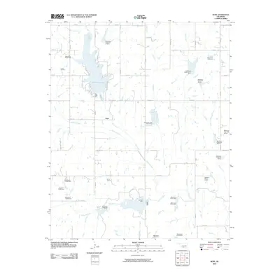 2010 Hope2010 Print · USGSIn the rural reaches of Stephens County, Oklahoma, this map shows the community of Hope and the surrounding watersheds just after the turn of the millennium. Researchers can trace local burial sites at Cooper Cemetery and explore the geography of Clear Creek Lake and Camp Waluhiyi.
 - 2012 Map of Empire City, 2012 Print
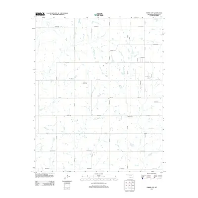 2012 Empire City2012 Print · USGSStep into the Oklahoma oil patch south of Duncan in the early 2010s. Researchers can locate the boundaries of the West Duncan Oil and Gas Field, trace the streets of Empire City, and find landmarks like Cemetery Rd.
 - 2012 Map of Nellie, 2012 Print
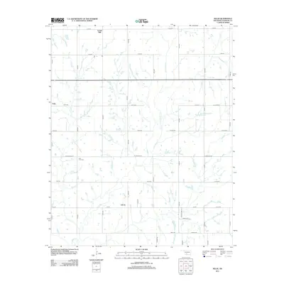 2012 Nellie2012 Print · USGSStephens County, Oklahoma, is shown here in the early twenty-first century as a landscape of section-line roads and winding prairie streams. Researchers can trace rural lineages through the Rock Creek Cem or locate the small communities of Nellie and Oil City.
 - 2012 Map of Lake Fuqua, 2012 Print
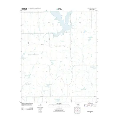 2012 Lake Fuqua2012 Print · USGSStephens County at the start of the 2010s reveals a rural landscape transformed by water management and regional history. Genealogists can locate Owens Prairie Cemetery while researchers trace the many reservoirs surrounding Lake Fuqua and Wildhorse Creek.
 - 2012 Map of Cox City, 2012 Print
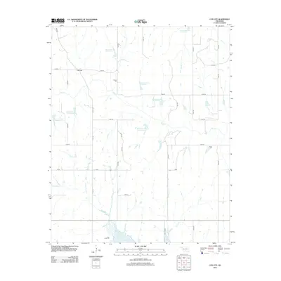 2012 Cox City2012 Print · USGSStephens County in the early twenty-first century is a landscape of managed water and rural homesteads. Researchers can trace family history at Killgore Cem and Tidwell Cem or explore the geography of Cox City and the shores of Lake Fuqua.
 - 2012 Map of Bray, 2012 Print
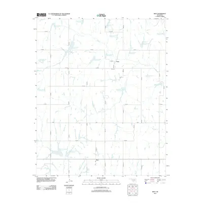 2012 Bray2012 Print · USGSStephens County's rural landscape is captured here in the early twenty-first century, showing the developed network of the Rush Creek watershed. Local researchers can trace the roads surrounding Bailey and Bray or find family history at the Bailey Cem.
 - 2012 Map of Duncan North, 2012 Print
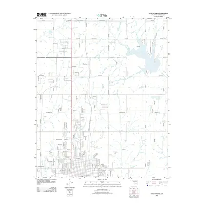 2012 Duncan North2012 Print · USGSMarlow and the northern outskirts of Duncan appear here in the early 2010s, showing a landscape defined by prairie creeks and local aviation. Researchers can locate family landmarks like Old Duncan Cem, Short Cem, and the waters of Lake Humphreys.
 - 2012 Map of Hope, 2012 Print
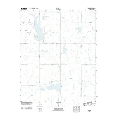 2012 Hope2012 Print · USGSNear Duncan in the early 2010s, this Stephens County landscape shows a complex network of managed reservoirs and rural homesteads. Genealogists and local historians can locate Hope Cemetery, Cruce Cemetery, and the recreation areas surrounding Clear Creek Lake.
 - 2012 Map of Duncan South, 2012 Print
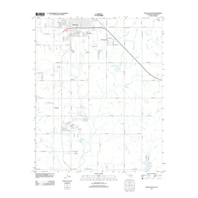 2012 Duncan South2012 Print · USGSStephens County shows its modern industrial and residential character in this early 21st-century survey of the southern plains. Researchers can trace local lineage and land use through the Halliburton Field Airport and various burial grounds like Henderson Harris Cem and Tucker Cem.
 - 2016 Map of Duncan South, 2016 Print
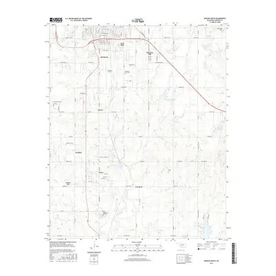 2016 Duncan South2016 Print · USGSStephens County, Oklahoma, comes to life in the mid-2010s, showcasing the expansion of the southern Duncan area into the surrounding plains. Genealogists and historians can locate several rural burial grounds like Fairlawn Cemeteries and Tucker Cem alongside landmarks like Halliburton Field.
 - 2016 Map of Hope, 2016 Print
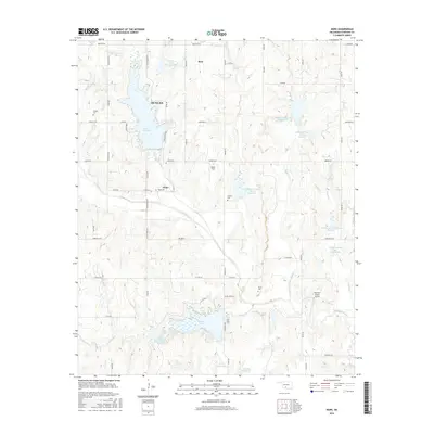 2016 Hope2016 Print · USGSStephens County comes into focus in the mid-2010s, revealing a landscape of rural Oklahoma homesteads and significant water management projects. Genealogists and local historians can trace family locations through Hope Cem and Cruce Cem or locate rural landmarks like Wolfe Field.
 - 2016 Map of Cox City, 2016 Print
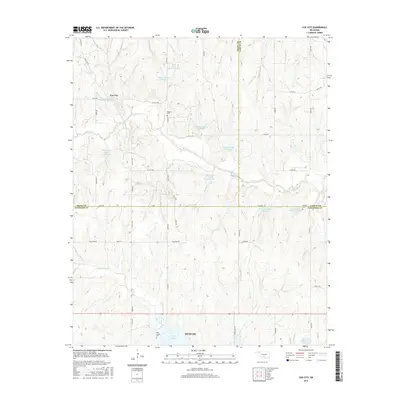 2016 Cox City2016 Print · USGSOklahoma's rural sections meet at the junction of three counties in the mid-2010s, showing a landscape shaped by water conservation and cattle ranching. Genealogists and local historians can locate Killgore Cem, Tidwell Cem, and the small settlement of Cox City.
 - 2016 Map of Bray, 2016 Print
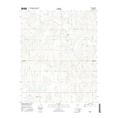 2016 Bray2016 Print · USGSCentered on the communities of Bray and Bailey in the mid-2010s, this Oklahoma survey captures a landscape defined by water management and rural ranching. Researchers can locate the Bailey Cemetery and trace dozens of reservoirs like Rush Creek Site 102 Reservoir and Wildhorse Creek Site 24 Reservoir.
 - 2016 Map of Duncan North, 2016 Print
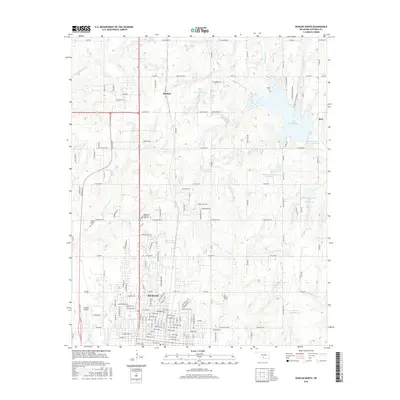 2016 Duncan North2016 Print · USGSThe Oklahoma corridor between Marlow and Duncan is shown in detail during the mid-2010s, highlighting the region's complex water management and rural developments. Researchers can trace local burial sites like Short Cemetery or explore landmarks like Copland Airport and Lake Humphreys.
 - 2016 Map of Lake Fuqua, 2016 Print
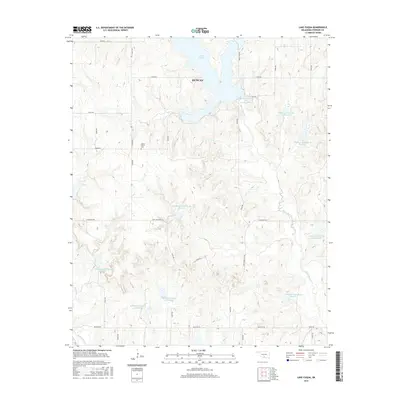 2016 Lake Fuqua2016 Print · USGSStephens County in the mid-2010s shows a landscape of modern water management and enduring rural history northeast of the city. Genealogists and historians can locate the Owens Prairie Cemetery and trace the many basins of the Wildhorse Creek system, including Wildhorse Creek Site 39.
 - 2016 Map of Empire City, 2016 Print
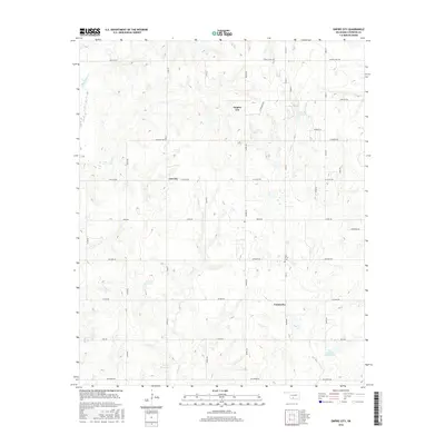 2016 Empire City2016 Print · USGSThe Oklahoma prairie south of Duncan appears in the mid-2010s as a landscape of managed water and expanding road networks. Local historians can trace the developments around Empire City and Gas City, or locate the Oak Grove Cem near the banks of Dry Creek.
 - 2016 Map of Nellie, 2016 Print
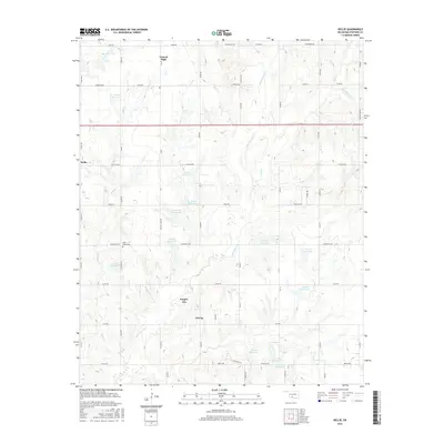 2016 Nellie2016 Print · USGSStephens County at the mid-2010s shows a landscape of rural crossroads and extensive water management systems. Genealogists and local historians can trace the foundations of Oil City, Empire City, and Central High, or locate family sites near Rock Creek Cem.
 - 2018 Map of Empire City, 2018 Print
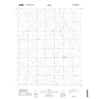 2018 Empire City2018 Print · USGSStephens County, Oklahoma, is shown here in the late 2010s as a landscape of energy production and rural settlements. Genealogists and local historians can trace the areas around Empire City, Gas City, and the Oak Grove Cem.
Showing maps 1-25 of 40
Top cities near Duncan
- Marlow historical maps
- Comanche historical maps
- Bray historical maps
- Central High historical maps
- Empire City historical maps
- Velma historical maps
See more
Top neighborhoods of Duncan
Frequently asked questions
- What are the different types of historical maps available for Duncan?
- What is the oldest map of Duncan?
- Where can I purchase historical maps of Duncan for my home or office?
- Where can I download high-res historical maps of Duncan?
- Are there historical topographic maps available for Duncan?
- Is there historical aerial imagery available for Duncan?
- Where are historical maps of Duncan sourced from?