Old Maps of Tipton, Oklahoma for Academic Research
Study the evolution of Tipton with 17 high-resolution historic maps. Whether you're teaching, researching, or modeling changes in land use, these maps provide essential visual documentation of urban, environmental, and geographic change.
- Analyze long-term change: Track patterns in development, transportation, and natural features.
- Ideal for environmental or urban studies: Support academic projects with primary historical map data.
- Use in the classroom or lab: Educators and researchers rely on these maps to bring historical context to life.
These maps are a powerful tool for teaching, research, and visualizing how Tipton has changed over the decades.
Tipton, OK maps
(17)- 1955 Map of Lawton, 1958 Print
 1955 Lawton1958 Print · USGSSouthwestern Oklahoma and North Texas are shown here in the mid-fifties, dominated by the Wichita Mountains and the vital Red River watershed. Genealogists and historians can trace the foundations of Lawton alongside rural landmarks like Rainy Mountain Church and Pleasant Hill School.5 unique versions available
 - 1958 Map of Frederick, 1959 Print
 1958 Frederick1959 Print · USGSAcross the Tillman County plains in the late fifties, the landscape was defined by the transition from agriculture to oil. Researchers can trace the rail corridors of the Missouri Kansas Texas or locate local centers like Middick Store and Tesca Ch.
 - 1964 Map of Tipton, 1965 Print
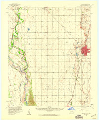
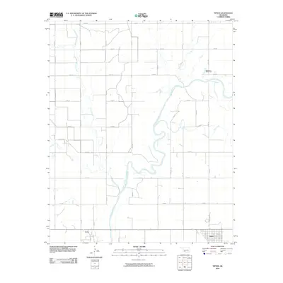
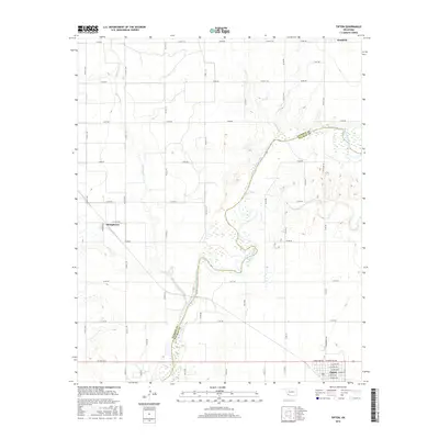
 1964 Tipton1965 Print · USGSOklahoma's southwestern plains come into focus in the mid-sixties, dominated by the winding course of the North Fork Red River. Genealogists and historians can trace the rail-side growth of Tipton, the Boucher Oil Field, and the site of a local Orphanage.2 unique versions available
 - 1975 Map of Frederick NW
 1975 Frederick NW1975 Print · USGSOklahoma's agricultural heartland is documented in the mid-seventies, showing the intersection of the North Fork Red River and the grid of Tipton. Researchers can trace land use patterns near TIPTON and locate the natural waters of WHITE LAKE.
 - 1984 Map of White Lake, 1985 Print
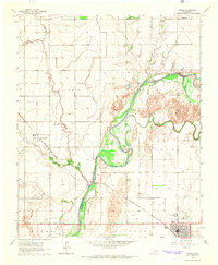
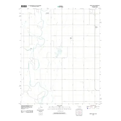
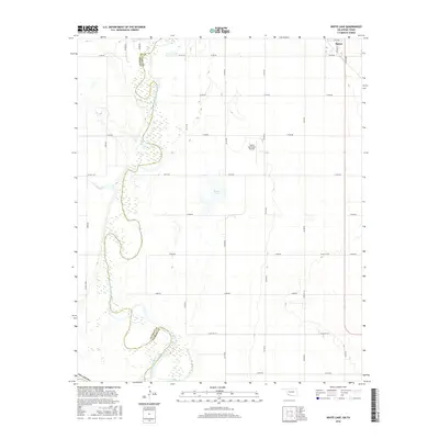
 1984 White Lake1985 Print · USGSTipton and the surrounding Oklahoma plains are captured here in the mid-1980s, revealing a landscape of river-bend agriculture and early oil exploration. Genealogists and local historians can trace family land near Weaver Sch or follow the Missouri - Kansas - Texas rail line.
 - 1985 Map of Altus
 1985 Altus1985 Print · USGSSouthwestern Oklahoma in the mid-eighties shows a vast agricultural and military landscape shaped by the Red River forks. Trace the intersections of the Atchison Topeka and Santa Fe railroad with rural points like Fairmount Cem and Duke.2 unique versions available
 - 1986 Map of Vernon
 1986 Vernon1986 Print · USGSNorth Texas and Southern Oklahoma meet along the river in the mid-1980s, revealing a landscape defined by ranching, oil production, and rail transport. Researchers can locate distinct landmarks such as Medicine Mound, the Conley Oil Field, and the community of Punkin Center.
 - 2010 Map of Tipton, 2010 Print
 2010 Tipton2010 Print · USGSCovers Tipton, including Headrick, Humphreys, and other nearby areas
 - 2010 Map of White Lake, 2010 Print
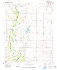
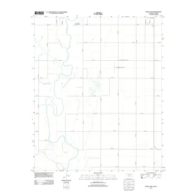
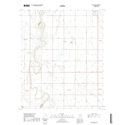
 2010 White Lake2010 Print · USGSCovers Tipton, including Jackson County, Tillman County, and other nearby areas
 - 2012 Map of White Lake, 2012 Print
 2012 White Lake2012 Print · USGSCovers Tipton, including Jackson County, Tillman County, and other nearby areas
 - 2012 Map of Tipton, 2012 Print
 2012 Tipton2012 Print · USGSCovers Tipton, including Headrick, Humphreys, and other nearby areas
 - 2016 Map of Tipton, 2016 Print
 2016 Tipton2016 Print · USGSCovers Tipton, including Headrick, Humphreys, and other nearby areas
 - 2016 Map of White Lake, 2016 Print
 2016 White Lake2016 Print · USGSCovers Tipton, including Jackson County, Tillman County, and other nearby areas
 - 2018 Map of White Lake, 2018 Print
 2018 White Lake2018 Print · USGSCovers Tipton, including Jackson County, Tillman County, and other nearby areas
 - 2018 Map of Tipton, 2018 Print
 2018 Tipton2018 Print · USGSCovers Tipton, including Headrick, Humphreys, and other nearby areas
 - 2022 Map of Tipton, 2022 Print
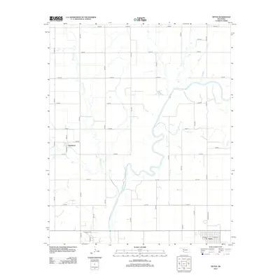
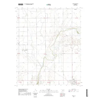
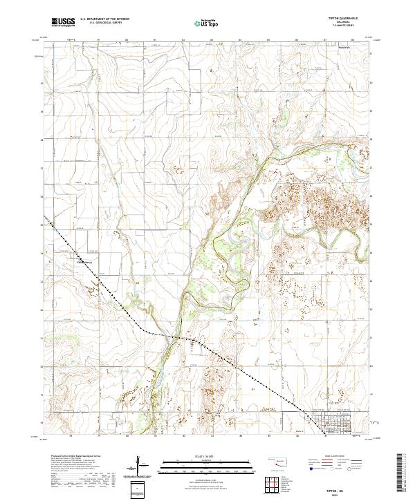 2022 Tipton2022 Print · USGSSouthwest Oklahoma at the start of the 2020s shows a landscape defined by the winding North Fork Red River and its rural hubs. Researchers can trace the local road networks and town layouts of Tipton, Headrick, and Humphreys.
 - 2022 Map of White Lake, 2022 Print
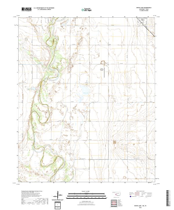 2022 White Lake2022 Print · USGSSouthwest Oklahoma at the turn of the decade is defined by the agricultural grid surrounding the town of Tipton. Researchers can trace land boundaries along the North Fork Red River or locate local landmarks like White Lake and the Tipton Municipal Airport.
End of results
Showing maps 1-17 of 17
Top cities near Tipton
- Altus historical maps
- Frederick historical maps
- Snyder historical maps
- Mountain Park historical maps
- Manitou historical maps
- Headrick historical maps
See more
Frequently asked questions
- What are the different types of historical maps available for Tipton?
- What is the oldest map of Tipton?
- Where can I purchase historical maps of Tipton for my home or office?
- Where can I download high-res historical maps of Tipton?
- Are there historical topographic maps available for Tipton?
- Is there historical aerial imagery available for Tipton?
- Where are historical maps of Tipton sourced from?