2010s Maps of Sand Springs, Oklahoma
Explore 28 historic maps of Sand Springs from the 2010s. These maps offer a rare glimpse into what life looked like during the 2010s — showing old roads, neighborhoods, homes, and landmarks that have changed or disappeared over time.
Whether you're researching your family's past, planning a metal detecting trip, or studying how Sand Springs's landscape evolved across the 2010s, these high-resolution maps are a powerful tool for exploring the history of this region.
- Focus on a specific era: All maps on this page are from the 2010s, giving you a focused view of this time period.
- See what’s changed: Compare century-old streets, trails, and buildings to today's modern landscape using overlays and satellite layers.
- Research with precision: Use these maps for genealogy, historical research, land use analysis, or educational projects.
- View, download, or print: Maps are fully viewable online in high resolution, and can be downloaded or printed for your own records.
Start exploring Sand Springs's history through authentic maps from the 2010s. This is your window into the past.
Sand Springs, OK maps
(28)- 2010 Map of Lake Sahoma, 2010 Print
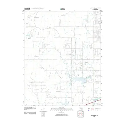 2010 Lake Sahoma2010 Print · USGSSapulpa and the surrounding Oklahoma countryside are captured here in the early twenty-first century, showing a landscape of reservoirs and rural aviation. Researchers can locate Post Oak Cemetery, trace the drainage of Euchee Creek, and find the Sahoma Lake Airport near the city's edge.
 - 2010 Map of Sand Springs, 2010 Print
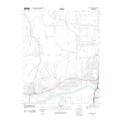 2010 Sand Springs2010 Print · USGSThe Arkansas River valley comes into sharp focus during this period of Oklahoma's urban growth. Researchers can trace the development of Sand Springs and locate local landmarks like Woodland Cemetery, Osage School, and the Downtown Airpark.
 - 2010 Map of Wekiwa, 2010 Print
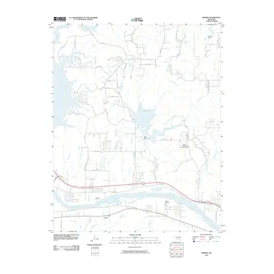 2010 Wekiwa2010 Print · USGSThe Arkansas River valley west of Tulsa comes into focus during the early 2000s, showing a landscape shaped by water and aviation. Researchers can trace the layout of Lotsee, find the Shell Dam at Shell Lake, or locate the William R Pogue Municipal Airport.
 - 2010 Map of Keystone Dam, 2010 Print
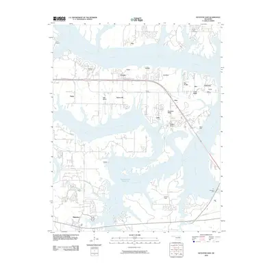 2010 Keystone Dam2010 Print · USGSThe convergence of the Arkansas and Cimarron Rivers defines this area in the early 2000s, showing a landscape shaped by the Keystone Dam. Trace local history through community labels like Mannford, Prue, and Westport, or locate family sites at Sinnett Cemetery and Leroy Cemetery.
 - 2010 Map of Sapulpa North, 2010 Print
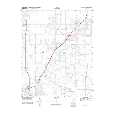 2010 Sapulpa North2010 Print · USGSSapulpa and the southern fringes of Tulsa are documented here during a period of significant suburban and industrial transition. You can trace the development of older settlements like Bowden and Red Fork alongside newer infrastructure like the Sapulpa Interchange and Camp Parthenia.
 - 2010 Map of Avant SW, 2010 Print
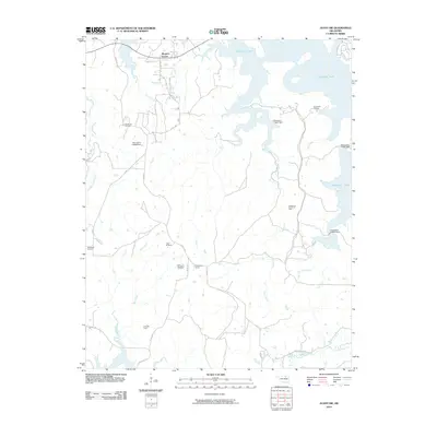 2010 Avant SW2010 Print · USGSOklahoma's petroleum and reservoir landscapes are on full display in this early twenty-first-century survey. Trace the extent of the Wildhorse Oil Field and the expansive shoreline of Skiatook Lake alongside rural hubs like Morgans Corner.
 - 2010 Map of Avant SE, 2010 Print
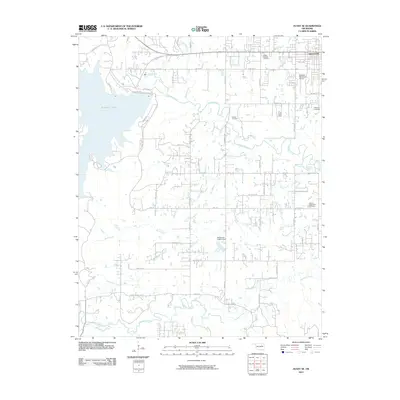 2010 Avant SE2010 Print · USGSThe outskirts of Skiatook and the waters of the lake define this Oklahoma landscape during a period of modern growth. Researchers can trace family history through several local burial grounds, including Osage Gardens Cemetery, Captain Cemetery, and the Sperry Rest Haven Cemetery.
 - 2012 Map of Lake Sahoma, 2012 Print
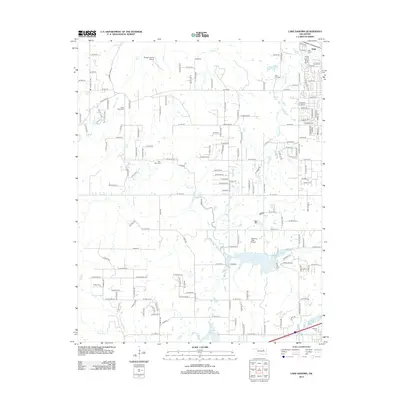 2012 Lake Sahoma2012 Print · USGSSapulpa and the Creek County reservoir lands are captured in the early twenty-first century, showing a landscape of small lakes and rural homesteads. Genealogists and local historians can locate several historic burial sites, including Fairview Cem and Tiger Bone Cem, alongside the runways of Sahoma Lake Airport.
 - 2012 Map of Sapulpa North, 2012 Print
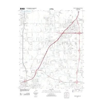 2012 Sapulpa North2012 Print · USGSThe northern outskirts of Tulsa and the approach to Sapulpa are documented here during a period of significant suburban and industrial expansion. Genealogists and local historians can locate several family and community landmarks, including Clinton Oaks Cem, Red Fork, and Lookout Mtn.
 - 2012 Map of Sand Springs, 2012 Print
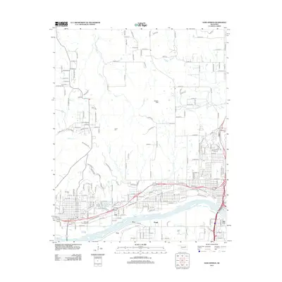 2012 Sand Springs2012 Print · USGSThe industrial and residential growth of the Tulsa area is evident in this early twenty-first-century survey. Genealogists can trace family heritage at Tullahassee Creek Indian Cem or locate the riverside settlements of Kengle and Price.
 - 2012 Map of Keystone Dam, 2012 Print
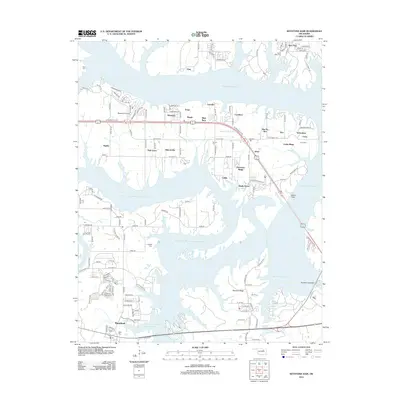 2012 Keystone Dam2012 Print · USGSKeystone Lake and the Arkansas River valley are captured in this 2012 study, showcasing the developed shorelines and residential pockets of the early twenty-first century. Genealogists and local historians can trace several local burial sites, including Sinnett Cem and Prairie View Cem, alongside the infrastructure of Keystone Dam.
 - 2012 Map of Avant SE, 2012 Print
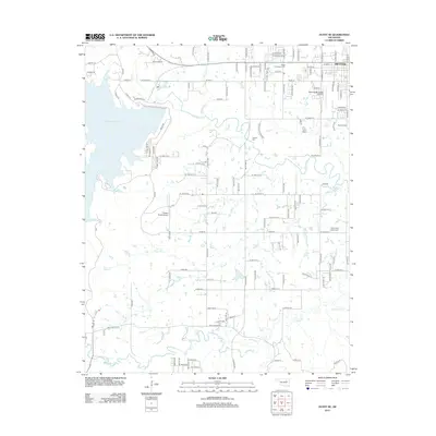 2012 Avant SE2012 Print · USGSThe northern Oklahoma prairie around the town of Skiatook is captured here during its modern development near Skiatook Lake. Genealogists and historians can trace local family lineages through Osage Gardens Cem, Captain Cem, and the Skiatook Municipal Airport.
 - 2012 Map of Wekiwa, 2012 Print
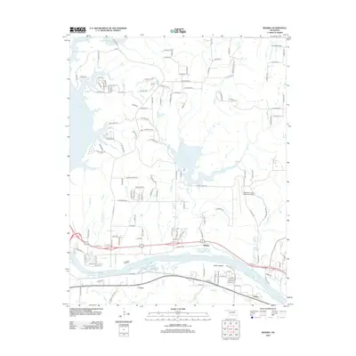 2012 Wekiwa2012 Print · USGSOklahoma's riverfront and aviation history are captured here in the early twenty-first century as the suburbs expanded west of Tulsa. Researchers can trace the river's path through Fisher Bottom or locate small settlements like Lotsee and Wekiwa.
 - 2013 Map of Avant SW, 2013 Print
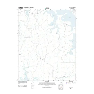 2013 Avant SW2013 Print · USGSOsage and Tulsa counties are captured here during a period of industrial land use and major reservoir expansion. Researchers can trace the intersection of the energy economy and the landscape at the Wildhorse Oil Field or the rural hub of Morgans Corner.
 - 2016 Map of Keystone Dam, 2016 Print
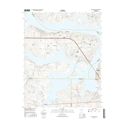 2016 Keystone Dam2016 Print · USGSSurrounding the expansive waters of the reservoir in the mid-2010s, this area shows a dense network of lakeside communities and local infrastructure. Researchers can trace family history at Dixie Cem or explore the residential growth of Mule Barn and Cedar Ridge near the Keystone Dam.
 - 2016 Map of Sand Springs, 2016 Print
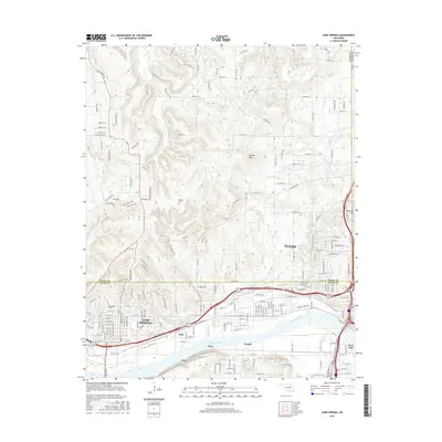 2016 Sand Springs2016 Print · USGSThe industrial and residential corridors of Sand Springs and Tulsa are shown in detail here during the mid-2010s. Researchers can trace the path of the St Louis-San Francisco Ry and locate local sites like Woodland Cem.
 - 2016 Map of Lake Sahoma, 2016 Print
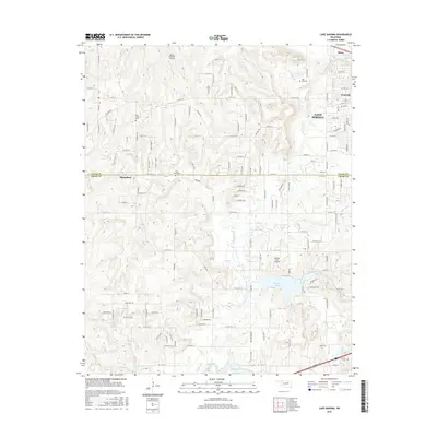 2016 Lake Sahoma2016 Print · USGSOklahoma's Green Country comes into focus in this mid-2010s survey of the hills west of Sapulpa and Sand Springs. Genealogists and local historians can locate several family-named landmarks and cemeteries, including Tiger Bone Cem, Oak Cem, and the waters of Sahoma Lake.
 - 2016 Map of Avant SW, 2016 Print
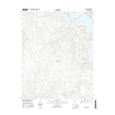 2016 Avant SW2016 Print · USGSOsage County's transition from high prairie to deep reservoir waters is documented here in the mid-2010s. Trace local landmarks like Rock School Rd, the northern reaches of Keystone Lake, and the sprawling shoreline of Skiatook Lake.
 - 2016 Map of Wekiwa, 2016 Print
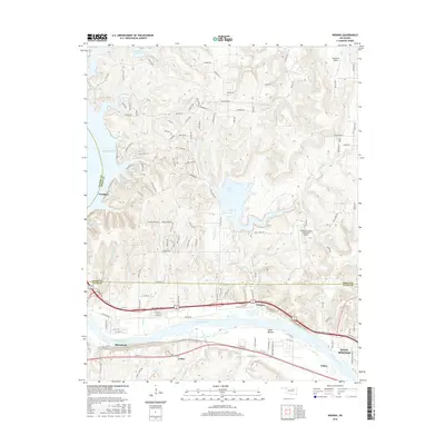 2016 Wekiwa2016 Print · USGSThe river valley and lake country west of Tulsa are shown here during the mid-2010s. Researchers can trace the Arkansas River through Fisher Bottom or locate family-named road networks near Wekiwa and William R Pogue Municipal Airport.
 - 2016 Map of Avant SE, 2016 Print
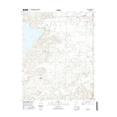 2016 Avant SE2016 Print · USGSOklahoma's northern frontier near the Osage County line shows a landscape of suburban growth and lakeside recreation in the mid-2010s. Researchers can locate several burial grounds like Skiatook Cem and Captain Cem or trace aviation sites like Wilson Ranch Airport.
 - 2016 Map of Sapulpa North, 2016 Print
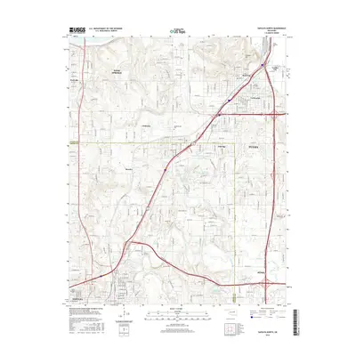 2016 Sapulpa North2016 Print · USGSThe suburbs west of Tulsa are shown here in the mid-2010s, where the expansion of Sapulpa and Jenks meets the banks of Polecat Creek. Researchers can locate family sites at Clinton Oaks Cem or Old Sapulpa Cem and trace the area's development near Parthenia Lake.
 - 2018 Map of Sand Springs, 2018 Print
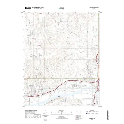 2018 Sand Springs2018 Print · USGSTulsa and Sand Springs are shown in the late 2010s during a period of sustained urban and suburban growth. Researchers can trace family history at Woodland Cem, locate industrial sites near the Arkansas River, and find small hubs like Kengle and Gray.
 - 2018 Map of Wekiwa, 2018 Print
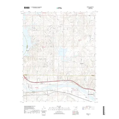 2018 Wekiwa2018 Print · USGSThe Arkansas River valley west of Tulsa is captured here in the late 2010s, showing the development around the Keystone Expressway. Genealogists and local historians can trace the riverside communities of Lotsee, Fisher, and Wekiwa, or locate the William R Pogue Municipal Airport.
 - 2018 Map of Avant SW, 2018 Print
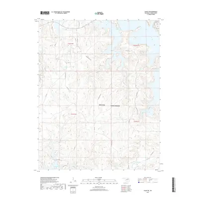 2018 Avant SW2018 Print · USGSOsage County ranch lands and reservoir shorelines are captured in this recent survey of the hills between Sand Springs and Skiatook. Genealogists and local historians can trace legacy land use through routes like Roundtree Ranch Rd, Zink Ranch Rd, and Rock School Rd.
 - 2018 Map of Keystone Dam, 2018 Print
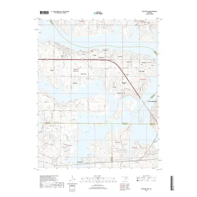 2018 Keystone Dam2018 Print · USGSThe Keystone Lake reservoir and its surrounding communities are shown here in the late 2010s. Genealogists and local historians can trace small settlements like Mule Barn and Calida, alongside several historic cemeteries such as Leroy Cem.
Showing maps 1-25 of 28
Top cities near Sand Springs
- Tulsa historical maps
- Bixby historical maps
- Sapulpa historical maps
- Jenks historical maps
- Glenpool historical maps
- Skiatook historical maps
See more
Top neighborhoods of Sand Springs
Frequently asked questions
- What are the different types of historical maps available for Sand Springs?
- What is the oldest map of Sand Springs?
- Where can I purchase historical maps of Sand Springs for my home or office?
- Where can I download high-res historical maps of Sand Springs?
- Are there historical topographic maps available for Sand Springs?
- Is there historical aerial imagery available for Sand Springs?
- Where are historical maps of Sand Springs sourced from?