Old Maps of Sand Springs, Oklahoma for Genealogy
Trace your family roots with 47 historic maps of Sand Springs. These high-res maps reveal old neighborhoods, homesites, landmarks, and streets — helping you uncover where your ancestors lived and how the area evolved over time.
- Explore historic neighborhoods: Identify where your relatives may have lived in the 1800s or 1900s.
- Compare maps over time: Trace the changes in streets, buildings, and landmarks for multi-generational research.
- Perfect for genealogy & ancestry research: Used by family historians and researchers to map out lineage and migration.
These maps are an incredible resource for exploring your personal connection to Sand Springs's past.
Sand Springs, OK maps
(47)- 1912 Map of Hominy, 1960 Print
 1912 Hominy1960 Print · USGSNortheastern Oklahoma comes alive in this pre-reservoir survey, documenting the river-valley settlements and tribal lands of the early statehood era. Genealogists can locate dozens of country schools and sites like Black Dog (Indian Village) or the early Oil City Barnsdall P O.
 - 1915 Map of Hominy
 1915 Hominy1915 Print · USGSOsage and Creek counties come to life in the years before the Great War, showing a landscape defined by river confluences and the expansion of the rail industry. Genealogists can locate early settlements like Black Dog and schools like Dripping Spring School or Sunset School.2 unique versions available
 - 1955 Map of Enid, 1966 Print
 1955 Enid1966 Print · USGSNorth-central Oklahoma's transition from open plains to the blackjack hills of the Osage Indian Reservation is captured in the mid-1950s. Researchers can trace the development of the Naval Reserve Oil Field, the grounds of Vance AFB, and the early footprints of Tulsa and Stillwater.4 unique versions available
 - 1956 Map of Sand Springs, 1957 Print
 1956 Sand Springs1957 Print · USGSThe industrial corridor along the Arkansas River comes to life in this mid-century survey of the Tulsa and Sand Springs area. Researchers can trace the extensive Oil Field networks, the massive Oil Refinery, and dozens of local landmarks like Woodland Cemetery and the Tulsa North Airport.6 unique versions available
 - 1956 Map of Sapulpa North, 1957 Print
 1956 Sapulpa North1957 Print · USGSSapulpa and southwest Tulsa are caught in a period of industrial and suburban expansion during the mid-fifties. Researchers can trace the path of the Tulsa Sapulpa Union railroad past legacy sites like Little Cussetah Ch, Bowden, and the Oil Refinery.4 unique versions available
 - 1958 Map of Enid
 1958 Enid1958 Print · USGSNorthern Oklahoma is mapped here in the late fifties, showcasing a dense network of petroleum production and historic tribal lands. Researchers can trace the legacy of the Osage Indian Reservation, early energy hubs like the Cushing Oil Field, and the Chilocco Indian Agricultural School.2 unique versions available
 - 1958 Map of Keystone Dam, 1959 Print
 1958 Keystone Dam1959 Print · USGSOklahoma's river valleys underwent a massive transformation in the late fifties as the Keystone Dam Under Construction project began. Researchers can trace the original locations of Prue, Appalachia, and Keystone along with family-named sites like Dixie Cem.4 unique versions available
 - 1958 Map of Wekiwa, 1959 Print
 1958 Wekiwa1959 Print · USGSThe Arkansas River valley of the late 1950s was a landscape defined by the Osage Indian Reservation, heavy oil production, and vital rail lines. Genealogists and local historians can trace the foundations of Fisher and Wekiwa, along with rural landmarks like Anderson Sch and Fisher Ch.5 unique versions available
 - 1959 Map of Lake Sahoma, 1960 Print
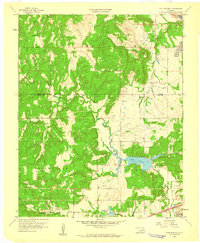 1959 Lake Sahoma1960 Print · USGSCreek County at the close of the 1950s shows a landscape defined by the intersection of the burgeoning petroleum industry and rural community life. Trace the early development of the Turnpike Road (Toll) and locate historical sites like Pretty Water Sch and the Kellyville Oil Field.4 unique versions available
 - 1963 Map of Avant SE, 1964 Print
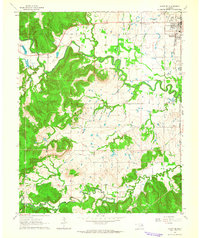 1963 Avant SE1964 Print · USGSOsage and Tulsa counties meet here in the early sixties, as the oil industry and railroads shaped the local landscape. Genealogists can trace family footprints at Captain Cem, Delaware Ch, and the outlying Osage Gardens development.4 unique versions available
 - 1966 Map of Avant SW, 1967 Print
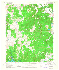 1966 Avant SW1967 Print · USGSOsage County's oil economy and changing shoreline are visible in this mid-sixties survey of the Oklahoma hill country. Researchers can trace the extent of the Wildhorse Oil Field or locate rural landmarks like Morgans Corner and Arrowhead Ranch.3 unique versions available
 - 1990 Map of Keystone Lake
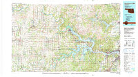 1990 Keystone Lake1990 Print · USGSNorth-central Oklahoma's landscape is captured here in the 1990s as the vast waters of Keystone Lake meet the Osage Indian Reservation. Researchers can trace old rail corridors like the St Louis-San Francisco Railway and find local landmarks such as Pawnee Bill State Park or the Oil Field at Oilton.
 - 2010 Map of Lake Sahoma, 2010 Print
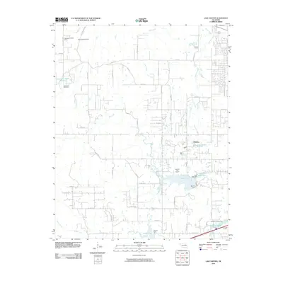 2010 Lake Sahoma2010 Print · USGSSapulpa and the surrounding Oklahoma countryside are captured here in the early twenty-first century, showing a landscape of reservoirs and rural aviation. Researchers can locate Post Oak Cemetery, trace the drainage of Euchee Creek, and find the Sahoma Lake Airport near the city's edge.
 - 2010 Map of Sand Springs, 2010 Print
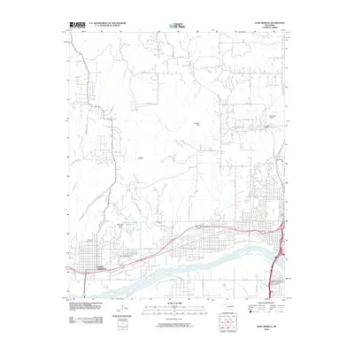 2010 Sand Springs2010 Print · USGSThe Arkansas River valley comes into sharp focus during this period of Oklahoma's urban growth. Researchers can trace the development of Sand Springs and locate local landmarks like Woodland Cemetery, Osage School, and the Downtown Airpark.
 - 2010 Map of Wekiwa, 2010 Print
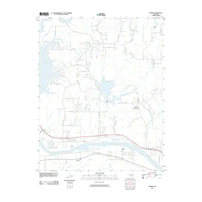 2010 Wekiwa2010 Print · USGSThe Arkansas River valley west of Tulsa comes into focus during the early 2000s, showing a landscape shaped by water and aviation. Researchers can trace the layout of Lotsee, find the Shell Dam at Shell Lake, or locate the William R Pogue Municipal Airport.
 - 2010 Map of Keystone Dam, 2010 Print
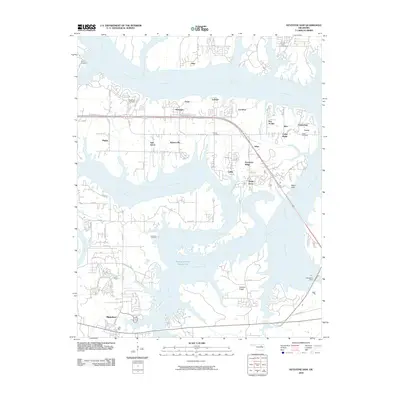 2010 Keystone Dam2010 Print · USGSThe convergence of the Arkansas and Cimarron Rivers defines this area in the early 2000s, showing a landscape shaped by the Keystone Dam. Trace local history through community labels like Mannford, Prue, and Westport, or locate family sites at Sinnett Cemetery and Leroy Cemetery.
 - 2010 Map of Sapulpa North, 2010 Print
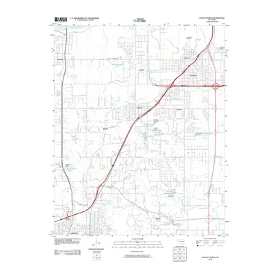 2010 Sapulpa North2010 Print · USGSSapulpa and the southern fringes of Tulsa are documented here during a period of significant suburban and industrial transition. You can trace the development of older settlements like Bowden and Red Fork alongside newer infrastructure like the Sapulpa Interchange and Camp Parthenia.
 - 2010 Map of Avant SW, 2010 Print
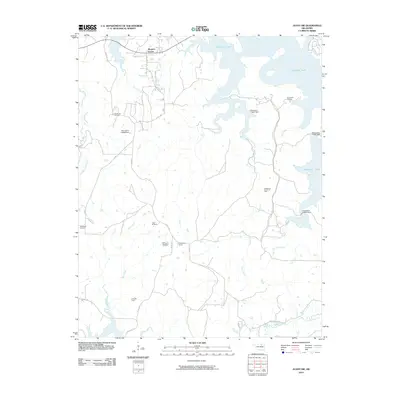 2010 Avant SW2010 Print · USGSOklahoma's petroleum and reservoir landscapes are on full display in this early twenty-first-century survey. Trace the extent of the Wildhorse Oil Field and the expansive shoreline of Skiatook Lake alongside rural hubs like Morgans Corner.
 - 2010 Map of Avant SE, 2010 Print
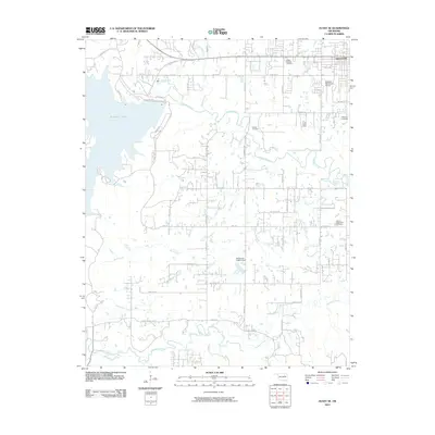 2010 Avant SE2010 Print · USGSThe outskirts of Skiatook and the waters of the lake define this Oklahoma landscape during a period of modern growth. Researchers can trace family history through several local burial grounds, including Osage Gardens Cemetery, Captain Cemetery, and the Sperry Rest Haven Cemetery.
 - 2012 Map of Lake Sahoma, 2012 Print
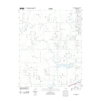 2012 Lake Sahoma2012 Print · USGSSapulpa and the Creek County reservoir lands are captured in the early twenty-first century, showing a landscape of small lakes and rural homesteads. Genealogists and local historians can locate several historic burial sites, including Fairview Cem and Tiger Bone Cem, alongside the runways of Sahoma Lake Airport.
 - 2012 Map of Sapulpa North, 2012 Print
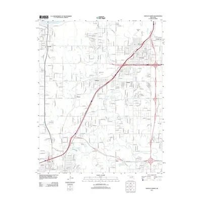 2012 Sapulpa North2012 Print · USGSThe northern outskirts of Tulsa and the approach to Sapulpa are documented here during a period of significant suburban and industrial expansion. Genealogists and local historians can locate several family and community landmarks, including Clinton Oaks Cem, Red Fork, and Lookout Mtn.
 - 2012 Map of Sand Springs, 2012 Print
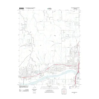 2012 Sand Springs2012 Print · USGSThe industrial and residential growth of the Tulsa area is evident in this early twenty-first-century survey. Genealogists can trace family heritage at Tullahassee Creek Indian Cem or locate the riverside settlements of Kengle and Price.
 - 2012 Map of Keystone Dam, 2012 Print
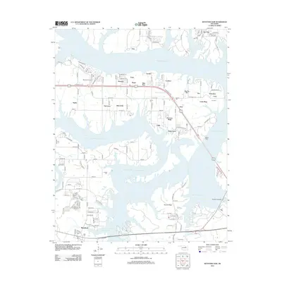 2012 Keystone Dam2012 Print · USGSKeystone Lake and the Arkansas River valley are captured in this 2012 study, showcasing the developed shorelines and residential pockets of the early twenty-first century. Genealogists and local historians can trace several local burial sites, including Sinnett Cem and Prairie View Cem, alongside the infrastructure of Keystone Dam.
 - 2012 Map of Avant SE, 2012 Print
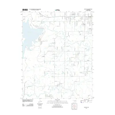 2012 Avant SE2012 Print · USGSThe northern Oklahoma prairie around the town of Skiatook is captured here during its modern development near Skiatook Lake. Genealogists and historians can trace local family lineages through Osage Gardens Cem, Captain Cem, and the Skiatook Municipal Airport.
 - 2012 Map of Wekiwa, 2012 Print
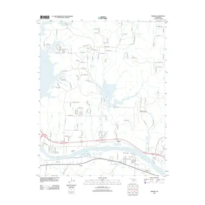 2012 Wekiwa2012 Print · USGSOklahoma's riverfront and aviation history are captured here in the early twenty-first century as the suburbs expanded west of Tulsa. Researchers can trace the river's path through Fisher Bottom or locate small settlements like Lotsee and Wekiwa.
Showing maps 1-25 of 47
Top cities near Sand Springs
- Tulsa historical maps
- Bixby historical maps
- Sapulpa historical maps
- Jenks historical maps
- Glenpool historical maps
- Skiatook historical maps
See more
Top neighborhoods of Sand Springs
Frequently asked questions
- What are the different types of historical maps available for Sand Springs?
- What is the oldest map of Sand Springs?
- Where can I purchase historical maps of Sand Springs for my home or office?
- Where can I download high-res historical maps of Sand Springs?
- Are there historical topographic maps available for Sand Springs?
- Is there historical aerial imagery available for Sand Springs?
- Where are historical maps of Sand Springs sourced from?