Old Maps of Alva, Oklahoma for Academic Research
Study the evolution of Alva with 16 high-resolution historic maps. Whether you're teaching, researching, or modeling changes in land use, these maps provide essential visual documentation of urban, environmental, and geographic change.
- Analyze long-term change: Track patterns in development, transportation, and natural features.
- Ideal for environmental or urban studies: Support academic projects with primary historical map data.
- Use in the classroom or lab: Educators and researchers rely on these maps to bring historical context to life.
These maps are a powerful tool for teaching, research, and visualizing how Alva has changed over the decades.
Alva, OK maps
(16)- 1955 Map of Woodward, 1967 Print
 1955 Woodward1967 Print · USGSNorthwest Oklahoma and the bordering plains are captured during the mid-sixties, showing a landscape defined by river valleys and massive water projects. Researchers can trace family roots in towns like Woodward and Alva or locate landmarks such as the Western Oklahoma State Hospital and Kegelman AF.3 unique versions available
 - 1958 Map of Woodward
 1958 Woodward1958 Print · USGSNorthwest Oklahoma and the neighboring panhandle borders are shown here during a period of steady mid-century growth. Researchers can trace the rail networks of the Atchison Topeka and Santa Fe and locate landmarks like the Western Oklahoma State Hospital and Port Supply Reservoir.2 unique versions available
 - 1969 Map of Alva SE, 1971 Print
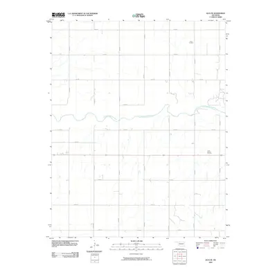
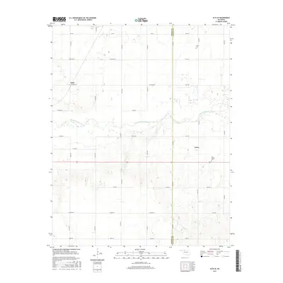
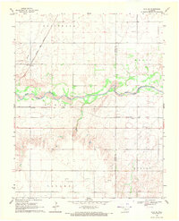 1969 Alva SE1971 Print · USGSNorthwestern Oklahoma’s prairie and river landscape is captured here in the late sixties as railroads still dominated the rural transit corridors. Genealogists can locate Liberty Cem and Short Springs Cem or trace rail activity at Brink and Ashley.
 - 1969 Map of Alva, 1971 Print
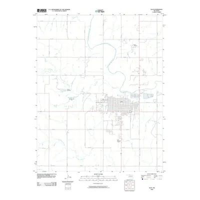
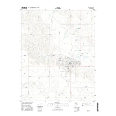
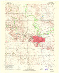 1969 Alva1971 Print · USGSAlva is captured in the late sixties as a thriving railway crossroads and educational center in Oklahoma's Woods County. Researchers can trace the neighborhood footprints of Northwestern State College, find the Sacred Heart Ch, or locate the historic siding at Noel.
 - 1985 Map of Alva, 1986 Print
 1985 Alva1986 Print · USGSNorthern Oklahoma in the mid-eighties was a landscape of rail-connected prairie towns and unique geologic features. Researchers can trace the legacy of the ATCHISON TOPEKA AND SANTA FE through Alva, locate the State School for Boys, or explore the boundaries of the Great Salt Plains Reservoir.
 - 1990 Map of Alva
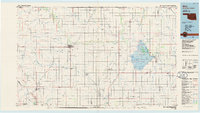
 1990 Alva1990 Print · USGSThe Oklahoma-Kansas borderlands in the 1990s reveal a landscape shaped by vast salt flats and crucial rail corridors. Genealogists and historians can trace the growth of Alva and Waynoka or locate landmarks like the State School for Boys and Little Sahara State Park.
 - 2009 Map of Alva SE, 2009 Print
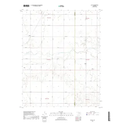
 2009 Alva SE2009 Print · USGSCovers Alva, including Ashley, Brink, and other nearby areas
 - 2009 Map of Alva, 2009 Print
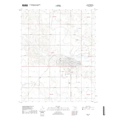
 2009 Alva2009 Print · USGSCovers Alva, including Noel, Woods County, and other nearby areas
 - 2012 Map of Alva SE, 2012 Print
 2012 Alva SE2012 Print · USGSCovers Alva, including Ashley, Brink, and other nearby areas
 - 2012 Map of Alva, 2012 Print
 2012 Alva2012 Print · USGSCovers Alva, including Noel, Woods County, and other nearby areas
 - 2016 Map of Alva SE, 2016 Print
 2016 Alva SE2016 Print · USGSCovers Alva, including Ashley, Brink, and other nearby areas
 - 2016 Map of Alva, 2016 Print
 2016 Alva2016 Print · USGSCovers Alva, including Noel, Woods County, and other nearby areas
 - 2018 Map of Alva SE, 2018 Print
 2018 Alva SE2018 Print · USGSCovers Alva, including Ashley, Brink, and other nearby areas
 - 2018 Map of Alva, 2018 Print
 2018 Alva2018 Print · USGSCovers Alva, including Noel, Woods County, and other nearby areas
 - 2022 Map of Alva, 2022 Print
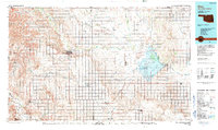
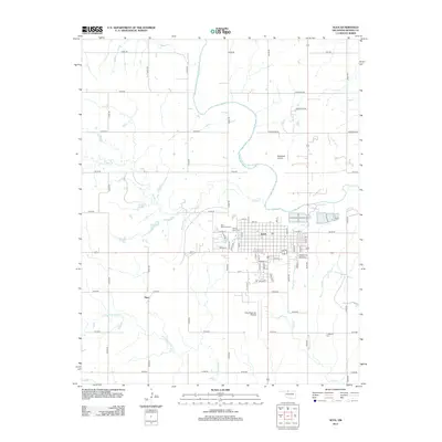
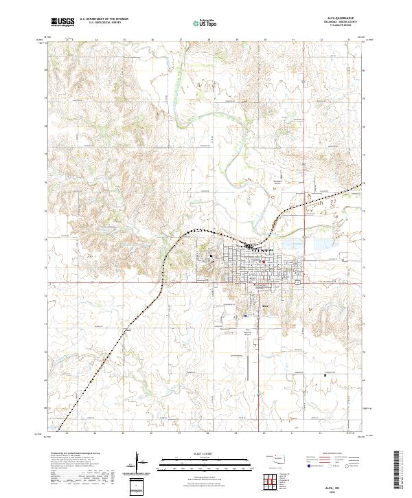 2022 Alva2022 Print · USGSModern Alva and the surrounding Woods County plains are shown here in detail, centered on the historic campus of Northwestern Oklahoma State University. Researchers can trace local history through sites like the Woods County Courthouse, Sacred Heart Cem, and the quiet settlement of Noel.
 - 2022 Map of Alva SE, 2022 Print
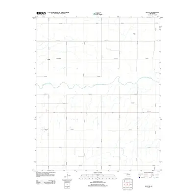
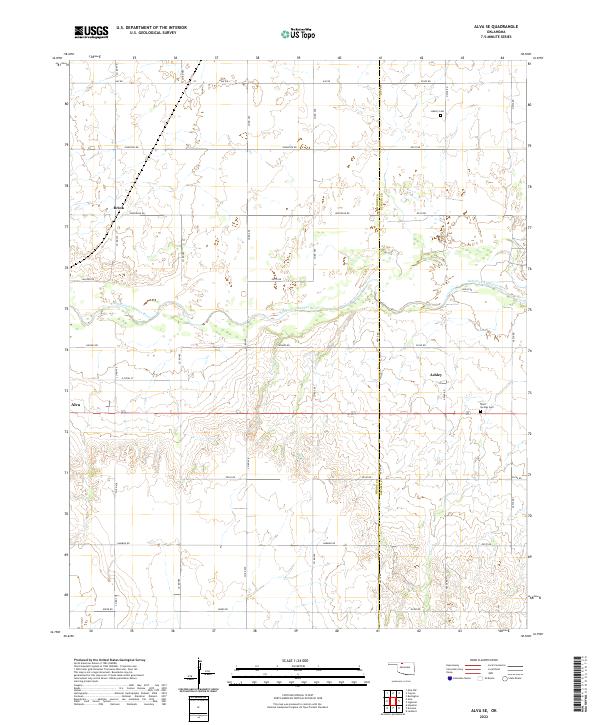 2022 Alva SE2022 Print · USGSWoods and Alfalfa counties appear in this 2022 survey, showing the landscape as it transitions across the Salt Fork Arkansas River. Local historians can trace family locations near Brink or Ashley and locate burial sites at Liberty Cem and Short Springs Cem.
End of results
Showing maps 1-16 of 16
Top cities near Alva
- Kiowa historical maps
- Waynoka historical maps
- Carmen historical maps
- Hardtner historical maps
- Dacoma historical maps
- Capron historical maps
See more
Top neighborhoods of Alva
- Country Club Heights historical maps
- East Hill historical maps
- Reid historical maps
- East Hill historical maps
- Smith historical maps
- East Vale historical maps
See more
Frequently asked questions
- What are the different types of historical maps available for Alva?
- What is the oldest map of Alva?
- Where can I purchase historical maps of Alva for my home or office?
- Where can I download high-res historical maps of Alva?
- Are there historical topographic maps available for Alva?
- Is there historical aerial imagery available for Alva?
- Where are historical maps of Alva sourced from?