Old Maps of Chiloquin, Oregon
Explore 19 old maps of Chiloquin, spanning from 1889 to today. These high-resolution historic maps reveal how streets, neighborhoods, landmarks, and natural features evolved over time — perfect for genealogy, metal detecting, research, and local history exploration.
What you can do with these maps:
- See how Chiloquin changed over time: Compare historical maps to modern-day views to trace roads, homesites, rail lines & more.
- View detailed metadata: Each map includes creators, publishers, year, scale, and archive source.
- Overlay maps with satellite & LiDAR: Visualize the past alongside modern tools to explore terrain & human change.
- Trusted historical sources: Maps sourced from the USGS, Library of Congress, and other archives.
- Access maps your way: View online, download high-res files, or order prints for personal or research use.
Start exploring old maps of Chiloquin to uncover forgotten places, hidden landmarks, and the deep history beneath your feet.
Chiloquin, OR maps
(19)- 1889 Map of Klamath
 1889 Klamath1889 Print · USGSSouthern Oregon in the late nineteenth century is a land of vast marshes and emerging frontier towns like Linkville. Historians can trace early government outposts at Ft. Klamath and Yainax Agency or locate family-named sites like Applegate Spr. and Olene.
 - 1894 Map of Klamath
 1894 Klamath1894 Print · USGSSouthern Oregon's high desert and lake country are captured in the 1880s, revealing a landscape of remote agencies and early frontier outposts. Genealogists and historians can trace the foundations of Linkville or locate the Yainax Agency and Ft. Klamath.6 unique versions available
 - 1955 Map of Klamath Falls, 1963 Print
 1955 Klamath Falls1963 Print · USGSSouthern Oregon's high desert and timber country are captured here during the mid-fifties, showing the rail-dependent economies of the basin. Genealogists and researchers can locate old outposts like the Keno Guard Station, the Bly Ranger Station, and the campus of the Oregon Technical Institute.4 unique versions available
 - 1957 Map of Chiloquin, 1959 Print
 1957 Chiloquin1959 Print · USGSKlamath County at the end of the 1950s shows a landscape of river-valley settlements and reservation lands. Researchers can trace the history of Fort Klamath, locate the Williamson River Mission, and find smaller sites like Braymill and the Wilson Cem.3 unique versions available
 - 1958 Map of Klamath Falls
 1958 Klamath Falls1958 Print · USGSSouthern Oregon and the California borderlands are captured here in the mid-1950s during a peak era for the region's timber and rail industries. Trace the historic Klamath Indian Reservation boundaries and the rail lines of the Great Northern RR and the Oregon California and Eastern RR that connected remote towns like Bly and Beatty.3 unique versions available
 - 1980 Map of Williamson River, 1997 Print
 1980 Williamson River1997 Print · USGSSouthern Oregon in the late twentieth century was a landscape of high-desert forests and vast marshes managed by multiple federal agencies. Genealogists and historians can trace the rail-side settlements of Lenz and Kirk, or locate the historic Klamath Agency and Fort Klamath.
 - 1985 Map of Agency Lake
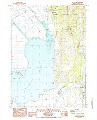 1985 Agency Lake1985 Print · USGSUpper Klamath Lake's northern marshes and reclaimed valleys are shown in the mid-1980s as a landscape of levees and river diversions. Researchers can trace historic sites like the Klamath Agency, Lobert Cem, and the Modoc Point Main Line railroad.
 - 1988 Map of Chiloquin
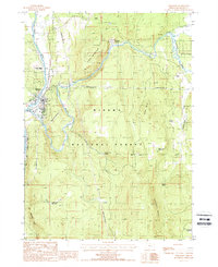 1988 Chiloquin1988 Print · USGSKlamath County's river valleys and timberlands are captured here in the late eighties, centered on the confluence at Chiloquin. Genealogists and historians can trace the Modoc Point Main Line railroad and locate sites like Braymill and Meva (Site).
 - 1998 Map of Agency Lake, 2000 Print
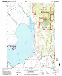 1998 Agency Lake2000 Print · USGSThe Klamath Basin is captured here in the late nineties, showing a landscape of sprawling wetlands and forest boundaries. Researchers can trace the Modoc Point Main Line railroad past Klamath Agency, Lobert Cem, and the Williamson River Mission.
 - 1998 Map of Chiloquin, 2000 Print
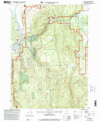 1998 Chiloquin2000 Print · USGSChiloquin and the surrounding river valleys are captured here in the late nineties, showcasing the intersection of tribal trust lands and national forest. Genealogists and historians can locate Friendship Cemetery, the historic Braymill area, and the former settlement at Meva (Site).
 - 2014 Map of Chiloquin, 2014 Print
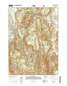 2014 Chiloquin2014 Print · USGSCovers Chiloquin, including Klamath County, United States, and other nearby areas
 - 2014 Map of Agency Lake, 2014 Print
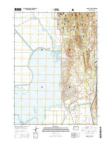 2014 Agency Lake2014 Print · USGSCovers Chiloquin, including Klamath Agency, Klamath County, and other nearby areas
 - 2017 Map of Chiloquin, 2017 Print
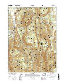 2017 Chiloquin2017 Print · USGSCovers Chiloquin, including Klamath County, United States, and other nearby areas
 - 2017 Map of Agency Lake, 2017 Print
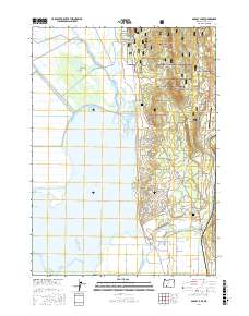 2017 Agency Lake2017 Print · USGSCovers Chiloquin, including Klamath Agency, Klamath County, and other nearby areas
 - 2020 Map of Chiloquin, 2020 Print
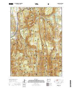 2020 Chiloquin2020 Print · USGSCovers Chiloquin, including Klamath County, United States, and other nearby areas
 - 2020 Map of Agency Lake, 2020 Print
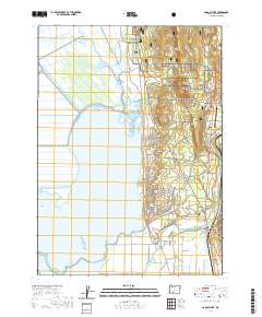 2020 Agency Lake2020 Print · USGSCovers Chiloquin, including Klamath Agency, Klamath County, and other nearby areas
 - 2023 Map of Agency Lake, 2023 Print
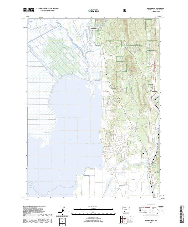 2023 Agency Lake2023 Print · USGSCovers Chiloquin, including Klamath Agency, Klamath County, and other nearby areas
 - 2023 Map of Chiloquin, 2023 Print
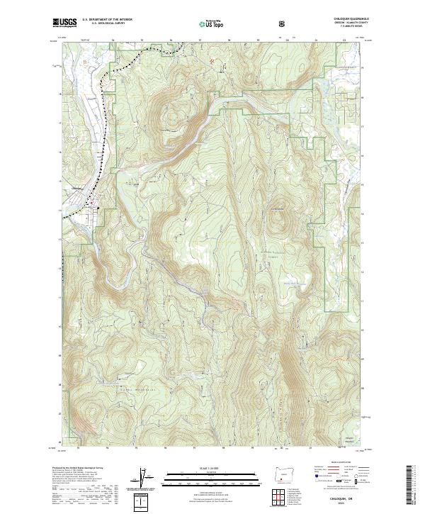 2023 Chiloquin2023 Print · USGSChiloquin and the surrounding Klamath County highlands are shown in contemporary detail, centering on the junction of the Williamson River and Sprague River. Local researchers can trace the Modoc Point Main Canal, locate the Friendship Cem, and explore the high ground of Cave Mtn.
 - 2024 Map of Agency Lake, 2024 Print
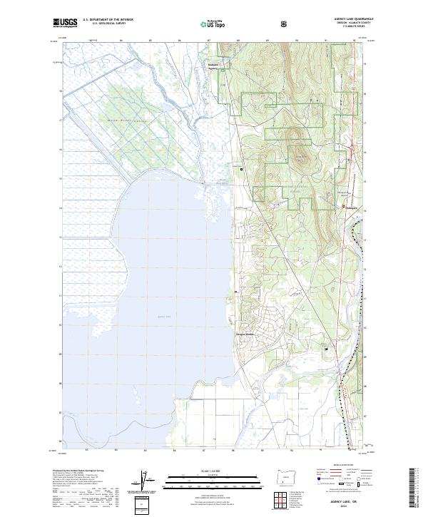 2024 Agency Lake2024 Print · USGSThe eastern shores of Agency Lake come into focus in this contemporary survey of the Klamath Basin. Researchers can trace local heritage through Klamath Agency, Lobert Cem, and the riverfront communities of Chiloquin and Oregon Shores.
End of results
Showing maps 1-19 of 19
Frequently asked questions
- What are the different types of historical maps available for Chiloquin?
- What is the oldest map of Chiloquin?
- Where can I purchase historical maps of Chiloquin for my home or office?
- Where can I download high-res historical maps of Chiloquin?
- Are there historical topographic maps available for Chiloquin?
- Is there historical aerial imagery available for Chiloquin?
- Where are historical maps of Chiloquin sourced from?