Old Maps of Cove, Oregon
Explore 10 old maps of Cove, spanning from 1906 to today. These high-resolution historic maps reveal how streets, neighborhoods, landmarks, and natural features evolved over time — perfect for genealogy, metal detecting, research, and local history exploration.
What you can do with these maps:
- See how Cove changed over time: Compare historical maps to modern-day views to trace roads, homesites, rail lines & more.
- View detailed metadata: Each map includes creators, publishers, year, scale, and archive source.
- Overlay maps with satellite & LiDAR: Visualize the past alongside modern tools to explore terrain & human change.
- Trusted historical sources: Maps sourced from the USGS, Library of Congress, and other archives.
- Access maps your way: View online, download high-res files, or order prints for personal or research use.
Start exploring old maps of Cove to uncover forgotten places, hidden landmarks, and the deep history beneath your feet.
Cove, OR maps
(10)- 1906 Map of Telocaset
 1906 Telocaset1906 Print · USGSEastern Oregon at the peak of its railroad and ranching era features a landscape of thriving valley towns and high forest reserves. Genealogists and local historians can trace early settlements like Union and Cove, or locate long-standing landmarks such as Hot Lake and Medical Springs.3 unique versions available
 - 1955 Map of Grangeville, 1964 Print
 1955 Grangeville1964 Print · USGSThe high country of the Idaho-Oregon border comes alive in the mid-1950s, showing the deep river canyons and mountain peaks. Trace the Union Pacific RR through the valleys or locate settlements like Grangeville, Joseph, and the shoreline of Wallowa Lake.4 unique versions available
 - 1959 Map of Grangeville
 1959 Grangeville1959 Print · USGSThe high alpine peaks and deep river canyons of the Idaho-Oregon borderlands are captured in the late fifties. Researchers can trace the Union Pacific RR through the valleys to settlements like Enterprise, Union, and Grangeville.2 unique versions available
 - 1965 Map of Cove, 1967 Print
 1965 Cove1967 Print · USGSThe community of Cove is documented here in the mid-1960s, poised between the Grande Ronde Valley floor and the mountain forests. Genealogists and historians can trace family locations through landmarks like Cove Cemetery, the Shanghai Sch, and Grange Hall.2 unique versions available
 - 1986 Map of Enterprise, 1987 Print
 1986 Enterprise1987 Print · USGSThe high peaks and deep valleys of Northeast Oregon are captured in the mid-1980s, showcasing the transition from the Grande Ronde Valley to the wilderness. Researchers can trace the Union Pacific rail corridor through Telocaset or locate historic sites like Cornucopia and Medical Springs.
 - 1993 Map of Cove
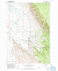 1993 Cove1993 Print · USGSThe Grande Ronde Valley's agricultural and forest boundaries are clearly drawn in the early nineties near Cove. Researchers can trace local genealogy through landmarks like Cove Cemetery, the High Sch, and rural homesteads near Eckesley and Shanghai.
 - 2014 Map of Cove, 2014 Print
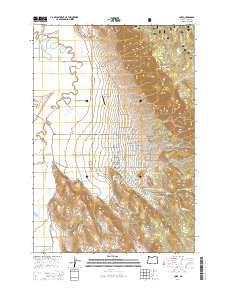 2014 Cove2014 Print · USGSCovers Cove, including Union County, United States, and other nearby areas
 - 2017 Map of Cove, 2017 Print
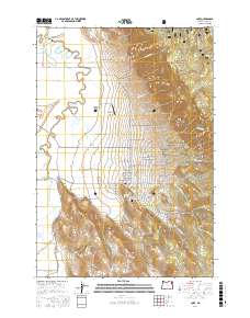 2017 Cove2017 Print · USGSCovers Cove, including Union County, United States, and other nearby areas
 - 2020 Map of Cove, 2020 Print
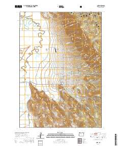 2020 Cove2020 Print · USGSCovers Cove, including Union County, United States, and other nearby areas
 - 2024 Map of Cove, 2024 Print
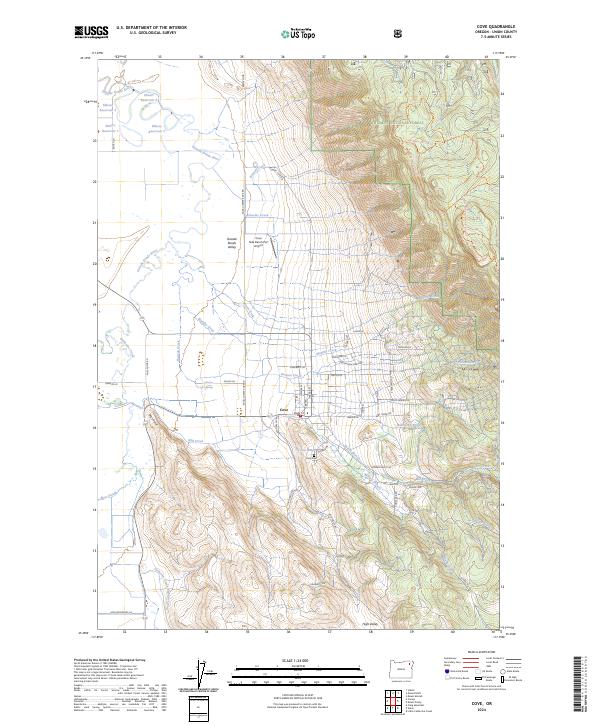 2024 Cove2024 Print · USGSThe community of Cove and the southern Grande Ronde Valley are shown here as the valley floor rises into the Whitman National Forest. Researchers can trace old irrigation systems like the Catherine Creek Highline Canal or locate local landmarks like the Cove Cem.
End of results
Showing maps 1-10 of 10
Top cities near Cove
Frequently asked questions
- What are the different types of historical maps available for Cove?
- What is the oldest map of Cove?
- Where can I purchase historical maps of Cove for my home or office?
- Where can I download high-res historical maps of Cove?
- Are there historical topographic maps available for Cove?
- Is there historical aerial imagery available for Cove?
- Where are historical maps of Cove sourced from?