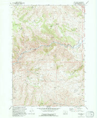
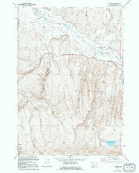
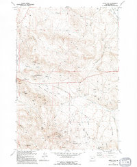
1990s Maps of Baker County, Oregon
Explore 33 historic maps of Baker County from the 1990s. These maps offer a rare glimpse into what life looked like during the 1990s — showing old roads, neighborhoods, homes, and landmarks that have changed or disappeared over time.
Whether you're researching your family's past, planning a metal detecting trip, or studying how Baker County's landscape evolved across the 1990s, these high-resolution maps are a powerful tool for exploring the history of this region.
- Focus on a specific era: All maps on this page are from the 1990s, giving you a focused view of this time period.
- See what’s changed: Compare century-old streets, trails, and buildings to today's modern landscape using overlays and satellite layers.
- Research with precision: Use these maps for genealogy, historical research, land use analysis, or educational projects.
- View, download, or print: Maps are fully viewable online in high resolution, and can be downloaded or printed for your own records.
Start exploring Baker County's history through authentic maps from the 1990s. This is your window into the past.
Baker County, OR maps
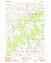
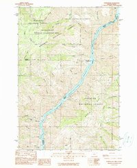
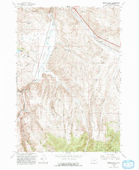
(33)- 1990 Map of Mormon Basin
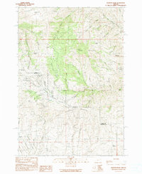 1990 Mormon Basin1990 Print · USGSThe Baker and Malheur county line runs through this rugged mining district as it appeared in the late twentieth century. Genealogists and historians can locate former settlements at Amelia and Miller, or trace old workings at the Sunday Hill Mine.
 - 1990 Map of Krag Peak
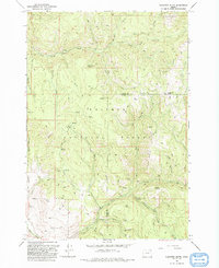
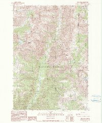 1990 Krag Peak1990 Print · USGSIn the high Wallowa Mountains during the late twentieth century, this survey tracks a wilderness landscape at the intersection of three counties. Hikers and historians can trace the Cliff Creek Trail and locate remote landmarks like the Bradley Creek Mine and Lookingglass Lake.2 unique versions available
 - 1990 Map of Deadman Point
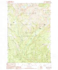
 1990 Deadman Point1990 Print · USGSThe high backcountry of Baker and Wallowa Counties is captured here in the early 1990s, where national forest boundaries and wilderness areas intersect. Researchers can trace alpine water routes like Buchanan Ditch and locate landmarks such as Imnaha Falls and Twin Lakes.
 - 1990 Map of Bennet Peak
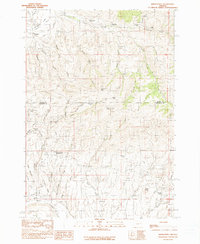
 1990 Bennet Peak1990 Print · USGSNortheastern Oregon's high Wallowa wilderness is mapped here in the 1990s as a preserve of alpine lakes and national forest lands. Researchers can trace remote mountain activity at the Basin Mine, Boulder Park Resort, and the Two Color Guard Station.
 - 1990 Map of Bridgeport
 1990 Bridgeport1990 Print · USGSEastern Oregon mining history is etched into this late twentieth-century landscape where Baker and Malheur counties meet. Researchers can trace the footprints of old hydraulic systems like the Eldorado Ditch and locate historic hubs including China Town and Malheur City.
 - 1990 Map of Devils Heel
 1990 Devils Heel1990 Print · USGSThe borderlands of Baker and Malheur counties come into focus in the 1990s as a region of complex water management and high-desert ranching. Researchers can trace the layout of Milk Ranch, the industrial footprint of Open Pit Mines, and the passage through Eldorado Pass.
 - 1990 Map of Duck Creek
 1990 Duck Creek1990 Print · USGSHells Canyon and the high timberlands of northeast Oregon are captured here in the late twentieth century. Researchers can trace the drainage of the Imnaha River and locate remote camps like Evergreen Campground or the high-country Rock Spring.
 - 1990 Map of Cornucopia
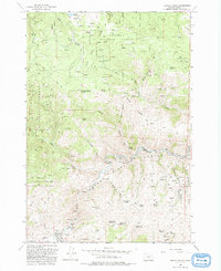
 1990 Cornucopia1990 Print · USGSThe mining landscape of Baker County is preserved here in the late twentieth century, centered on the high-elevation settlement of Cornucopia. Researchers can trace the industrial footprint of the Queen of the West Mine, the Last Chance Mill, and the Coulter Tunnel amidst the high peaks.2 unique versions available
 - 1990 Map of Wendt Butte
 1990 Wendt Butte1990 Print · USGSThe high-desert terrain of Malheur and Baker Counties is captured here in the late twentieth century, showing a landscape shaped by mining and water scarcity. Researchers can trace historical sites like the Golden Eagle Mine and numerous water sources including Cave Hollow Spring and Koonitz Spring.
 - 1990 Map of Homestead
 1990 Homestead1990 Print · USGSThe Snake River frontier on the Oregon-Idaho border comes into focus in this late twentieth-century survey. Genealogists and local historians can locate the Homestead Cem, the settlement of Copper, and the workings at the Ironduke Mine.
 - 1992 Map of French Gulch, 1993 Print
 1992 French Gulch1993 Print · USGSThe Burnt River corridor in Eastern Oregon was a focus for mineral prospecting and timber management in the early nineties. Researchers can trace the legacy of resource extraction through numerous Mines, Adits, and Prospects located along Clarks Creek and French Gulch.
 - 1993 Map of Wingville
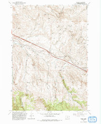
 1993 Wingville1993 Print · USGSBaker Valley and the foothills of the Blue Mountains are shown here in the early nineties, documenting a landscape of high-desert ranching and mountain mining. Genealogists can locate Wingville Cem and the settlement of Wingville, while researchers can trace the operations at the Young America Mine.
 - 1993 Map of Dooley Mtn
 1993 Dooley Mtn1993 Print · USGSThe high ridges of Baker County come into focus in the early nineties, revealing a landscape of mining claims and forest trails. Researchers can locate remote mineral sites like the Open Pit Mine or trace water sources from Bathtub Spring to Stices Gulch.
 - 1993 Map of Bowen Valley
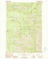
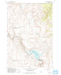
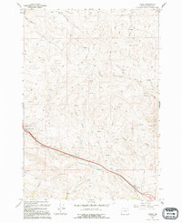
 1993 Bowen Valley1993 Print · USGSBaker County at the end of the twentieth century reveals a landscape where the Powder River and the Whitman National Forest meet. Researchers can trace land management through features like Salisbury, Licklider Reservoir, and the Gaging Station.
 - 1993 Map of Telocaset
 1993 Telocaset1993 Print · USGSThe high valley and river landscape near the Union and Baker County line are shown here as they appeared in the early nineties. Researchers can trace the water levels of the Thief Valley Reservoir or locate the old Quarry and Prospects near Telocaset.
 - 1993 Map of Blue Canyon
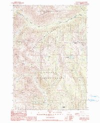
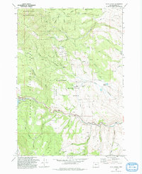 1993 Blue Canyon1993 Print · USGSThe Oregon backcountry near Baker City is captured here in the early 1990s, where old mining sites meet modern reservoirs. Historians can trace the footprint of Auburn (Site), locate the Malloy Cabin (Ruin), and follow the Powder River below Mason Dam.
 - 1993 Map of Brannan Gulch
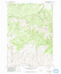 1993 Brannan Gulch1993 Print · USGSEastern Oregon's timber and mining lands are recorded here in the early nineties, centered on the high ridges of the Whitman National Forest. Researchers can trace the drainage of the Burnt River and locate historic resource sites like the Elliot Mine and various high-country springs.
 - 1993 Map of Encina
 1993 Encina1993 Print · USGSThe mining and ranching country of eastern Oregon is captured here in the early nineties, centered on the historic settlements of Encina and Pleasant Valley. Researchers can trace the legacy of resource extraction through the Uncle Dan Mine, the Brazos Mine, and a local Cem.
 - 1993 Map of Flagstaff Butte
 1993 Flagstaff Butte1993 Print · USGSNortheast Oregon's high timberlands and headwaters are captured here in the early nineties, straddling the Union and Baker county line. Researchers can trace early mining activity near Pawnee Gulch and locate remote water sources like Marlin Spring and Sufferin Smith Spring.
 - 1994 Map of Oxman
 1994 Oxman1994 Print · USGSThe Baker County high country comes into focus in the mid-nineties, showing the rural communities of Pleasant Valley and Oxman. Researchers can trace old 4WD access routes to high-elevation Prospects or locate the historic Mine and Corral.
 - 1994 Map of Haines
 1994 Haines1994 Print · USGSThe Powder Valley’s ranching and irrigation systems are frozen in time on the Baker-Union county line in the mid-1990s. Genealogists and local historians can locate family landmarks like Sky Ranch and Christensen alongside the historic Rock Creek Cem.
 - 1994 Map of Baker City
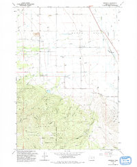
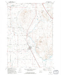
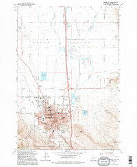 1994 Baker City1994 Print · USGSBaker City and the surrounding Baker Valley are captured in the mid-1990s, revealing a landscape where civic life and irrigation networks meet. Researchers can trace local landmarks like Mt Hope Cemetery, Brooklyn Sch, and the Baker City Municipal Airport.
 - 1994 Map of Lost Basin
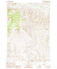
 1994 Lost Basin1994 Print · USGSBaker County's high-elevation ranching and mining lands are frozen in time during the early nineties in this detailed survey. Researchers can trace the water rights of Durkee Ditch, locate numerous high-country Prospects, and explore names like Sheep Mountain and Lost Basin.
 - 1994 Map of Keating
 1994 Keating1994 Print · USGSAgricultural and mining history meet in the Powder River valley during the mid-to-late twentieth century. Researchers can trace early water rights through the Keating Ditch and Erwin Ditch or locate family-held land near Keating and the local Grange Hall.
 - 1994 Map of Virtue Flat
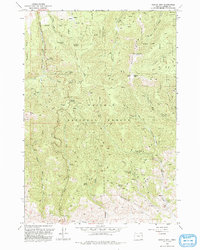
 1994 Virtue Flat1994 Print · USGSThe high desert of eastern Oregon is shown here in the 1990s, where the Oregon National Historic Trail meets a legacy of gold mining. You can trace the path of the pioneers near the Oregon Trail Interpretive Center and locate historic workings like the Virtue Mine and Hidden Treasure Mine.
Showing maps 1-25 of 33
Top cities of Baker County
- Baker City historical maps
- Huntington historical maps
- Haines historical maps
- Halfway historical maps
- Richland historical maps
- Sumpter historical maps
See more
Frequently asked questions
- What are the different types of historical maps available for Baker County?
- What is the oldest map of Baker County?
- Where can I purchase historical maps of Baker County for my home or office?
- Where can I download high-res historical maps of Baker County?
- Are there historical topographic maps available for Baker County?
- Is there historical aerial imagery available for Baker County?
- Where are historical maps of Baker County sourced from?