2020s Maps of Baker County, Oregon
Explore 158 historic maps of Baker County from the 2020s. These maps offer a rare glimpse into what life looked like during the 2020s — showing old roads, neighborhoods, homes, and landmarks that have changed or disappeared over time.
Whether you're researching your family's past, planning a metal detecting trip, or studying how Baker County's landscape evolved across the 2020s, these high-resolution maps are a powerful tool for exploring the history of this region.
- Focus on a specific era: All maps on this page are from the 2020s, giving you a focused view of this time period.
- See what’s changed: Compare century-old streets, trails, and buildings to today's modern landscape using overlays and satellite layers.
- Research with precision: Use these maps for genealogy, historical research, land use analysis, or educational projects.
- View, download, or print: Maps are fully viewable online in high resolution, and can be downloaded or printed for your own records.
Start exploring Baker County's history through authentic maps from the 2020s. This is your window into the past.
Baker County, OR maps
(158)- 2020 Map of Oxbow, 2020 Print
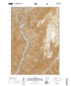 2020 Oxbow2020 Print · USGSThe Oregon-Idaho border at The Oxbow is captured here in recent years, showing the intersection of Baker County and Adams County. Researchers can trace the river canyon's roads to Oxbow or locate remote forest landmarks like Barber Flat and Sheep Peak.
 - 2020 Map of McLain Gulch, 2020 Print
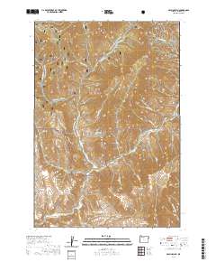 2020 McLain Gulch2020 Print · USGSBaker County's high forest and steep drainages are documented here in the early twenty-first century. You can trace the winter corridors of the Wallowa Mtn Loop Snowmobile and locate backcountry points like Gregg Spring and Grouse Flat.
 - 2020 Map of Brownlee Dam, 2020 Print
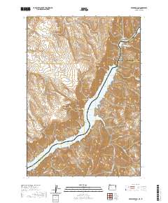 2020 Brownlee Dam2020 Print · USGSThe Oregon-Idaho border comes alive in this contemporary survey of the Snake River canyon. Researchers can trace the massive Brownlee Reservoir and identify local landmarks like Brownlee Dam, Officer Butte, and Ferry Canyon.
 - 2020 Map of Duck Creek, 2020 Print
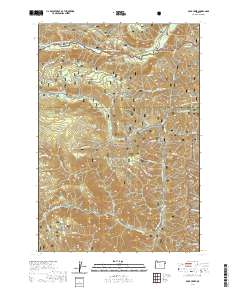 2020 Duck Creek2020 Print · USGSBaker and Wallowa counties meet in this high-altitude wilderness during the early twenty-first century. Outdoor enthusiasts and geographers can trace seasonal routes like the Fish Lake Snowmobile (Snow) and remote water sources including Coverdale Spring and Rock Spring.
 - 2020 Map of Encina, 2020 Print
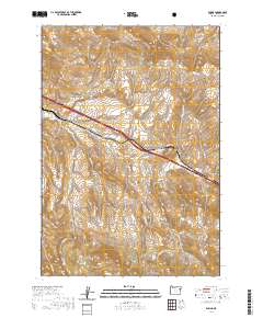 2020 Encina2020 Print · USGSPleasant Valley and the high Virtue Hills of Baker County are captured here in the early twenty-first century. Researchers can trace historical routes along Old US Hwy 30 and locate family landmarks such as the Pleasant Valley Cem and Johnston Spring.
 - 2020 Map of Little Baldy Mountain, 2020 Print
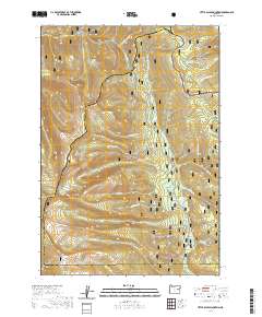 2020 Little Baldy Mountain2020 Print · USGSThe high divide between Baker and Grant counties is captured here in the early twenty-first century. Researchers can trace the rugged drainage systems of the North Fork Malheur Wild and Scenic River and locate remote peaks like Glacier Mtn and Little Baldy Mtn.
 - 2020 Map of Jimtown, 2020 Print
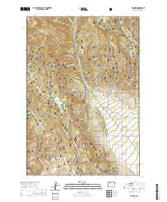 2020 Jimtown2020 Print · USGSThe Pine Valley region of Baker County comes into focus in this recent survey of its historic settlements and high-altitude backcountry. Researchers can trace the layout of Carson and Jimtown alongside irrigation and industrial relics like the Mining Channel and Brooks Ditch.
 - 2020 Map of Rock Creek, 2020 Print
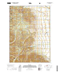 2020 Rock Creek2020 Print · USGSEastern Oregon ranching and timberlands are captured here in the contemporary era, where the Elkhorn Mountains meet the valley. Researchers can trace historic water rights and family lands through features like Fisher Hot Springs, Rock Creek, and the Gardner Mill Race Ditch.
 - 2020 Map of Rail Gulch, 2020 Print
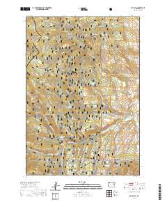 2020 Rail Gulch2020 Print · USGSThe Baker and Grant county borderlands in the 2020s remain a landscape of forest preserves and seasonal backcountry routes. Genealogists and historians can trace the geography of early ranching and mining through features like Payton Gulch, Mine Ridge, and the Cavin Ditch.
 - 2020 Map of Bridgeport, 2020 Print
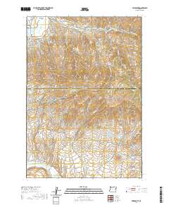 2020 Bridgeport2020 Print · USGSEastern Oregon's high-desert mining and ranching history is etched into this landscape along the Baker and Malheur county line. Researchers can trace historic water routes like the Eldorado Ditch and find early settlement sites at China Town, Clarksville, and the Bridgeport Cem.
 - 2020 Map of Mount Ireland, 2020 Print
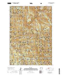 2020 Mount Ireland2020 Print · USGSThe high peaks of the Elkhorn Mountains in the Whitman National Forest are captured here during the modern era. Researchers can trace remote high-country landmarks including the Mt Ireland Lookout, Gold Center Meadow, and the Elkhorn Drive Snowmobile route.
 - 2020 Map of Halfway, 2020 Print
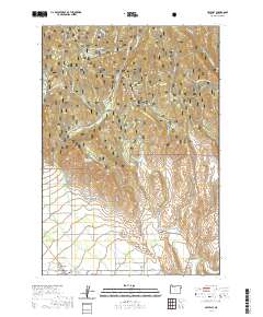 2020 Halfway2020 Print · USGSThe Oregon backcountry near Halfway is depicted in recent detail, showing the settlement and ranching patterns of Pine Valley. Researchers can trace local history through the Pine Haven Cem, the isolated Hattie Wheelock Grave, and the path of the old Mining Channel.
 - 2020 Map of Dooley Mountain, 2020 Print
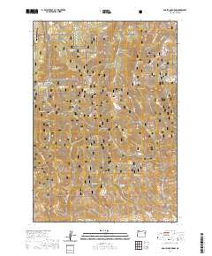 2020 Dooley Mountain2020 Print · USGSBaker County's high-country terrain is captured here in recent years, centered on the rugged ascent to Dooley Summit. Researchers can trace the layout of Whitman National Forest and locate isolated landmarks like the Bald Mountain Airport and Stices Gulch Reservoir.
 - 2020 Map of Connor Creek, 2020 Print
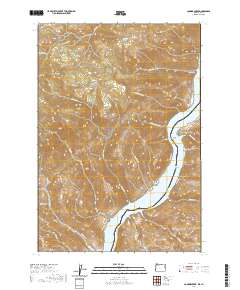 2020 Connor Creek2020 Print · USGSBaker County and the Oregon-Idaho border are defined here by the winding waters of the Snake River. Researchers can locate the Hibbard Creek Cem and trace remote mountain routes like Conner Creek Rd and Mineral Rd.
 - 2020 Map of Sawtooth Ridge, 2020 Print
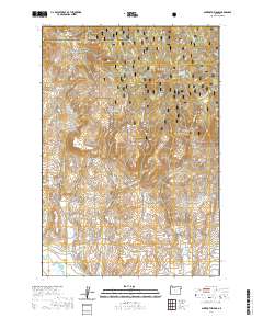 2020 Sawtooth Ridge2020 Print · USGSThe borderlands of Union and Baker counties come alive in this contemporary survey of the high forest and river valleys. Researchers can trace the path of the Powder River and explore local landmarks like Sawtooth Crater and Copper Buttes.
 - 2020 Map of Sparta, 2020 Print
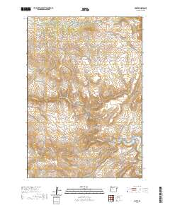 2020 Sparta2020 Print · USGSThe high-elevation terrain of Baker County is captured here in the years following the millennium, showing a landscape shaped by mining and water rights. Researchers can trace the legacy of early settlers at Sparta Cem or explore the drainage of the Powder River and Eagle Creek Canyon.
 - 2020 Map of Bourne, 2020 Print
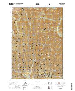 2020 Bourne2020 Print · USGSThe high Elkhorn Mountains of Baker County come into focus in 2020, showing a landscape defined by winter recreation and historic mining drainages. Genealogists and researchers can trace the roads through Bourne and Sumpter or locate family-named features like Bear Canyon and Corey Gulch.
 - 2020 Map of Wingville, 2020 Print
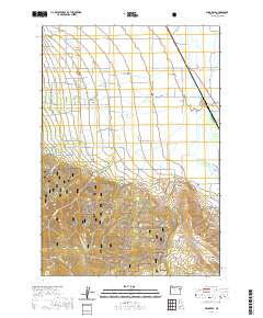 2020 Wingville2020 Print · USGSThe rural landscape of the Baker Valley comes into focus in this recent survey of the Wingville area. Researchers can trace the lineage of local families through landmarks like Wingville Cem and the complex irrigation network of Payton Ditch and Phillips Ditch.
 - 2020 Map of Birch Creek Meadow, 2020 Print
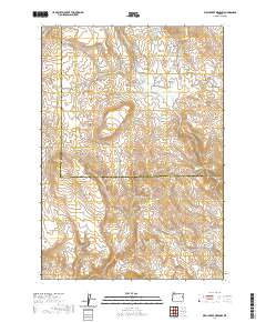 2020 Birch Creek Meadow2020 Print · USGSHigh-desert terrain along the Malheur and Baker County line is documented here in the modern era. Researchers can trace historic water sources and landmarks like Kivett Reservoir Number 1, Limestone Butte, and Stone Quarry Gulch.
 - 2020 Map of Pogue Point, 2020 Print
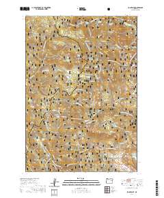 2020 Pogue Point2020 Print · USGSThe high ridges of the Blue Mountains are captured here in the 2020s, showing the intersection of two national forests along the Baker and Grant county line. Researchers can trace the drainage of the N Fork Burnt River and find named landmarks like Blue Mountain Summit and Pogue Point.
 - 2020 Map of Rye Valley, 2020 Print
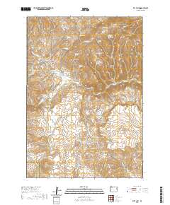 2020 Rye Valley2020 Print · USGSIn the high desert of eastern Oregon, this 2020 survey captures the rugged terrain of the Baker and Malheur county line. Researchers can trace the layout of Rye Valley, locating the Rye Valley Cem and numerous family-named landmarks like Dumas Gulch and Brouchaux Gulch.
 - 2020 Map of Durkee, 2020 Print
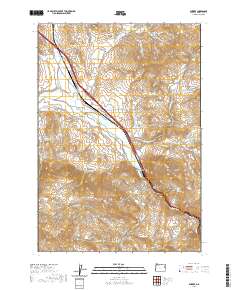 2020 Durkee2020 Print · USGSEastern Oregon ranching and transport history converge at Durkee in this modern survey of the Burnt River valley. Genealogists and historians can trace family-named landmarks like Simonis Gulch, locate the Durkee Cem, and study the reach of Banks Ditch.
 - 2020 Map of Balm Creek Reservoir, 2020 Print
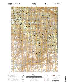 2020 Balm Creek Reservoir2020 Print · USGSBaker County in the early twenty-first century remains a landscape of high-elevation forests and critical water management. You can trace the path of historic irrigation via Phillips Ditch or explore the drainage systems of Goose Lake and Gover Reservoir.
 - 2020 Map of Devils Heel, 2020 Print
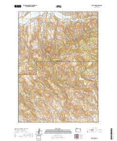 2020 Devils Heel2020 Print · USGSEastern Oregon ranching and mining history is preserved on this 2020 map of the borderlands between Baker and Malheur counties. Researchers can trace historic water rights and land use via the Eldorado Ditch, McPherson Ditch, and landmarks like Devils Heel.
 - 2020 Map of Lawrence Creek, 2020 Print
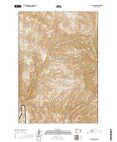 2020 Lawrence Creek2020 Print · USGSBaker County’s high rangelands and vital water sources are mapped in detail during the early twenty-first century. Researchers can trace historic water management and grazing routes through sites like Taylor Reservoir, Iron Mountain Spring, and Hickerson Gulch.
Showing maps 1-25 of 158
Top cities of Baker County
- Baker City historical maps
- Huntington historical maps
- Haines historical maps
- Halfway historical maps
- Richland historical maps
- Sumpter historical maps
See more
Frequently asked questions
- What are the different types of historical maps available for Baker County?
- What is the oldest map of Baker County?
- Where can I purchase historical maps of Baker County for my home or office?
- Where can I download high-res historical maps of Baker County?
- Are there historical topographic maps available for Baker County?
- Is there historical aerial imagery available for Baker County?
- Where are historical maps of Baker County sourced from?