2000s (21st Century) Maps of Baker County, Oregon
Explore 304 historic maps of Baker County from the 2000s (21st Century). These maps offer a rare glimpse into what life looked like during the 2000s — showing old roads, neighborhoods, homes, and landmarks that have changed or disappeared over time.
Whether you're researching your family's past, planning a metal detecting trip, or studying how Baker County's landscape evolved across the 2000s, these high-resolution maps are a powerful tool for exploring the history of this region.
- Focus on a specific era: All maps on this page are from the 2000s, giving you a focused view of this time period.
- See what’s changed: Compare century-old streets, trails, and buildings to today's modern landscape using overlays and satellite layers.
- Research with precision: Use these maps for genealogy, historical research, land use analysis, or educational projects.
- View, download, or print: Maps are fully viewable online in high resolution, and can be downloaded or printed for your own records.
Start exploring Baker County's history through authentic maps from the 2000s. This is your window into the past.
Baker County, OR maps
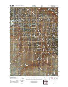
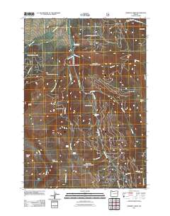
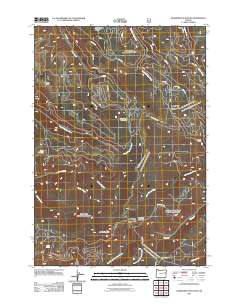
(304)- 2004 Map of Cuddy Mountain, 2007 Print
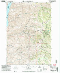
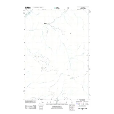
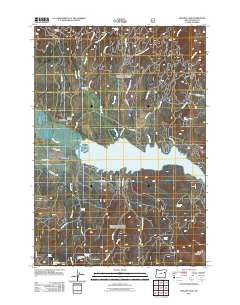
 2004 Cuddy Mountain2007 Print · USGSThe high Idaho backcountry of the Payette National Forest is captured here in the early 2000s, where the Adams and Washington county lines meet. Researchers can trace historical mining efforts through numerous labeled prospects, Adits, and high-country landmarks like Rush Peak and Lost Basin.
 - 2004 Map of Oxbow, 2007 Print
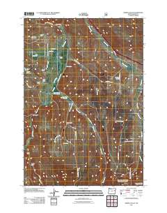
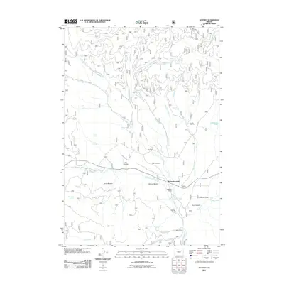
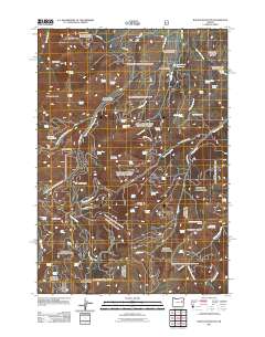
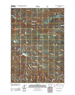
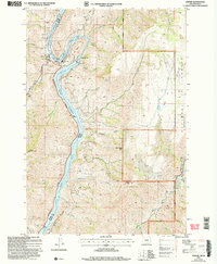 2004 Oxbow2007 Print · USGSThe Oregon-Idaho border at the Snake River is captured here in the early 2000s, centered on the heavy hydroelectric operations at The Oxbow. Researchers can trace the industrial layout of the Oxbow Dam and Powerplant alongside local landmarks like the Fish Hatchery and Landing Strip.
 - 2004 Map of Monroe Butte, 2007 Print
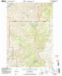
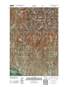
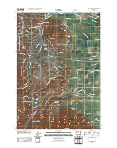
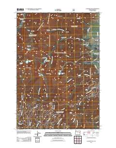
 2004 Monroe Butte2007 Print · USGSThe Hitt Mountains and Payette National Forest define this Idaho-Oregon border region as it appeared in the early 2000s. Researchers can trace historical mining activity at the Mortimer Mine or explore high-altitude landmarks like Chinamans Hat and Monroe Butte.
 - 2004 Map of Homestead, 2007 Print
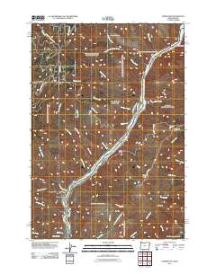
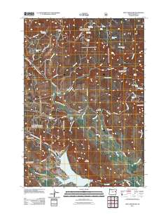
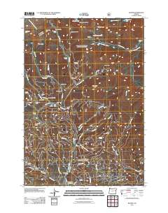
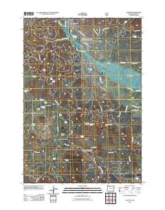
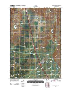
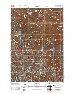
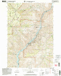 2004 Homestead2007 Print · USGSThe Snake River border between Oregon and Idaho is captured here in the early 2000s as a landscape of deep canyons and mining history. Researchers can locate the Homestead Cem, the Irondyke Mine, and the McGraw Creek Cabin among the steep draws.2 unique versions available
 - 2011 Map of Homestead, 2011 Print
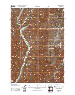
 2011 Homestead2011 Print · USGSCovers Baker County, including Wallowa County, Adams County, and other nearby areas
 - 2011 Map of Oxbow, 2011 Print
 2011 Oxbow2011 Print · USGSCovers Baker County, including Oxbow, Adams County, and other nearby areas
 - 2011 Map of Cuddy Mountain, 2011 Print
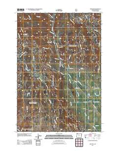
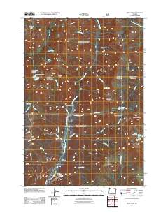
 2011 Cuddy Mountain2011 Print · USGSCovers Baker County, including Washington County, Adams County, and other nearby areas
 - 2011 Map of Jimtown, 2011 Print
 2011 Jimtown2011 Print · USGSCovers Baker County, including Carson, Jimtown, and other nearby areas
 - 2011 Map of Balm Creek Reservoir, 2011 Print
 2011 Balm Creek Reservoir2011 Print · USGSCovers Baker County, including United States, Oregon, and other nearby areas
 - 2011 Map of Bowen Valley, 2011 Print
 2011 Bowen Valley2011 Print · USGSCovers Baker County, including United States, Oregon, and other nearby areas
 - 2011 Map of Sawtooth Ridge, 2011 Print
 2011 Sawtooth Ridge2011 Print · USGSCovers Baker County, including Union County, United States, and other nearby areas
 - 2011 Map of Unity Reservoir, 2011 Print
 2011 Unity Reservoir2011 Print · USGSCovers Baker County, including United States, Oregon, and other nearby areas
 - 2011 Map of Bourne, 2011 Print
 2011 Bourne2011 Print · USGSCovers Baker County, including Sumpter, Bourne, and other nearby areas
 - 2011 Map of Rock Creek, 2011 Print
 2011 Rock Creek2011 Print · USGSCovers Baker County, including Rock Creek, Union County, and other nearby areas
 - 2011 Map of Whitney, 2011 Print
 2011 Whitney2011 Print · USGSCovers Baker County, including Grant County, United States, and other nearby areas
 - 2011 Map of Phillips Lake, 2011 Print
 2011 Phillips Lake2011 Print · USGSCovers Baker County, including United States, Oregon, and other nearby areas
 - 2011 Map of Roberts Creek, 2011 Print
 2011 Roberts Creek2011 Print · USGSCovers Baker County, including Grant County, United States, and other nearby areas
 - 2011 Map of Rastus Mountain, 2011 Print
 2011 Rastus Mountain2011 Print · USGSCovers Baker County, including Malheur County, Grant County, and other nearby areas
 - 2011 Map of Elkhorn Peak, 2011 Print
 2011 Elkhorn Peak2011 Print · USGSCovers Baker County, including United States, Oregon, and other nearby areas
 - 2011 Map of Sumpter, 2011 Print
 2011 Sumpter2011 Print · USGSCovers Baker County, including Sumpter, United States, and other nearby areas
 - 2011 Map of Deardorff Mountain, 2011 Print
 2011 Deardorff Mountain2011 Print · USGSCovers Baker County, including Grant County, United States, and other nearby areas
 - 2011 Map of North Powder, 2011 Print
 2011 North Powder2011 Print · USGSCovers Baker County, including North Powder, Union County, and other nearby areas
 - 2011 Map of Krag Peak, 2011 Print
 2011 Krag Peak2011 Print · USGSCovers Baker County, including Union County, Wallowa County, and other nearby areas
 - 2011 Map of Deadman Point, 2011 Print
 2011 Deadman Point2011 Print · USGSCovers Baker County, including Wallowa County, United States, and other nearby areas
 - 2011 Map of Bennet Peak, 2011 Print
 2011 Bennet Peak2011 Print · USGSCovers Baker County, including Union County, United States, and other nearby areas
Showing maps 1-25 of 304
Top cities of Baker County
- Baker City historical maps
- Huntington historical maps
- Haines historical maps
- Halfway historical maps
- Richland historical maps
- Sumpter historical maps
See more
Frequently asked questions
- What are the different types of historical maps available for Baker County?
- What is the oldest map of Baker County?
- Where can I purchase historical maps of Baker County for my home or office?
- Where can I download high-res historical maps of Baker County?
- Are there historical topographic maps available for Baker County?
- Is there historical aerial imagery available for Baker County?
- Where are historical maps of Baker County sourced from?