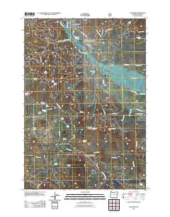
2011 Map of Sumpter
USGS Topo · Published 2011About this map
Sumpter sits at the confluence of McCully Fork and Silver Creek, marking a landscape deeply shaped by its mining and timber history. The town center is anchored by the Sumpter Post Office, while the surrounding terrain is a complex network of forest roads and water management features. Evidence of early engineering is visible in the McEwen Valley Ditch and Hawley Ditch, which traverse the slopes above the Powder River.
Find a feature on this map
55 named features on this map. Tap any name to fly to it.
Don’t see what you’re looking for? This feature index may not catch every label — zoom into the map to look around manually.
Map Details
Editions of this 2011 Sumpter Map
This is the sole edition of this map. No revisions or reprints were ever made.
Other maps of this area

1901 · Sumpter
USGS Topo · 1:125,000

1955 · Canyon City
USGS Topo · 1:250,000

1959 · Canyon City
USGS Topo · 1:250,000

1961 · Whitney
USGS Topo · 1:24,000
1972 · Elkhorn Peak
USGS Topo · 1:24,000

1972 · Mt. Ireland
USGS Topo · 1:24,000
1972 · Bourne
USGS Topo · 1:24,000
1972 · Phillips Lake
USGS Topo · 1:24,000
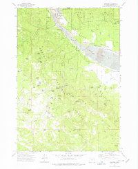
1972 · Sumpter
USGS Topo · 1:24,000
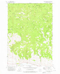
1972 · Beaverdam Creek
USGS Topo · 1:24,000