1950s Maps of Benton County, Oregon
Explore 9 historic maps of Benton County from the 1950s. These maps offer a rare glimpse into what life looked like during the 1950s — showing old roads, neighborhoods, homes, and landmarks that have changed or disappeared over time.
Whether you're researching your family's past, planning a metal detecting trip, or studying how Benton County's landscape evolved across the 1950s, these high-resolution maps are a powerful tool for exploring the history of this region.
- Focus on a specific era: All maps on this page are from the 1950s, giving you a focused view of this time period.
- See what’s changed: Compare century-old streets, trails, and buildings to today's modern landscape using overlays and satellite layers.
- Research with precision: Use these maps for genealogy, historical research, land use analysis, or educational projects.
- View, download, or print: Maps are fully viewable online in high resolution, and can be downloaded or printed for your own records.
Start exploring Benton County's history through authentic maps from the 1950s. This is your window into the past.
Benton County, OR maps
(9)- 1953 Map of Salem
 1953 Salem1953 Print · USGSMid-century Oregon comes to life through this detailed survey of the Willamette Valley and the adjacent Pacific coastline. Researchers can trace the rail lines of the Southern Pacific RR, visit rural hubs like Fairview School, or locate coastal landmarks like the Yaquina Head Lighthouse.
 - 1954 Map of Salem
 1954 Salem1954 Print · USGSMid-century Western Oregon is centered on the productive Willamette River valley as its cities and infrastructure expand toward the mountains. Genealogists and historians can trace the rail lines of the Southern Pacific RR and Oregon Electric Ry through towns like Dallas, Independence, and Brownsville.
 - 1956 Map of Corvallis, 1958 Print
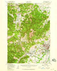 1956 Corvallis1958 Print · USGSCorvallis and the Willamette Valley are captured here during the mid-fifties, showing the growth of Oregon State College alongside the timbered foothills. Researchers can trace family roots at Mt Union Cemetery or find defunct rural sites like the Alexander Sch (Aband) and Wren Guard Sta.3 unique versions available
 - 1956 Map of Alsea, 1958 Print
 1956 Alsea1958 Print · USGSCoastal Oregon mountain life centered on the Alsea River valley in the mid-1950s, a time of transitions between old rural school districts and modern forest management. Genealogists and historians can trace family-named sites like Sharp Ranch or the Missouri Bend School and Cem alongside the State Fish Hatchery.2 unique versions available
 - 1956 Map of Tidewater, 1958 Print
 1956 Tidewater1958 Print · USGSThe Alsea River valley and the Siuslaw National Forest are captured here in the mid-fifties, during a decade of active timber management and rural growth. Researchers can find family-named landmarks like Bohannon Ranch, old school sites like Yachats Sch, and historic crossings including a Covered Bridge.3 unique versions available
 - 1957 Map of Marys Peak, 1958 Print
 1957 Marys Peak1958 Print · USGSThe Oregon Coast Range in the late fifties shows a landscape of timber-towns and watersheds centered around Marys Peak. Researchers can locate mountain schools and camps such as Blodgett School, Wildwood School, and the Knights of Pythias Camp.2 unique versions available
 - 1957 Map of Halsey, 1959 Print
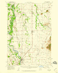 1957 Halsey1959 Print · USGSThe Willamette Valley during the late fifties shows a landscape of river-bottom islands and rail-town hubs. Genealogists can locate family landmarks like Noraton School, trace the Old Territorial Road, and find early settlements at Shedd and Plainview.2 unique versions available
 - 1957 Map of Monroe, 1959 Print
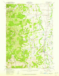 1957 Monroe1959 Print · USGSBenton and Lane counties come alive in the late fifties, showcasing a landscape of riverside farms and timbered peaks. Genealogists and historians can locate Oak Ridge Cemetery, trace the Southern Pacific line, or find old school sites like Inavale School.2 unique versions available
 - 1957 Map of Albany, 1959 Print
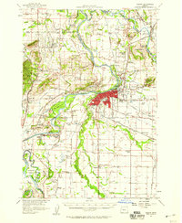 1957 Albany1959 Print · USGSThe Willamette Valley’s river-and-rail economy is on full display in the late 1950s as ALBANY grows between the SANTIAM RIVER and SOUTHERN PACIFIC lines. Genealogists can trace family roots through numerous landmarks like Morning Star Grange, Suver Cem, and McFarland School.2 unique versions available
End of results
Showing maps 1-9 of 9
Top cities of Benton County
- Corvallis historical maps
- Philomath historical maps
- Monroe historical maps
- Adair Village historical maps
Frequently asked questions
- What are the different types of historical maps available for Benton County?
- What is the oldest map of Benton County?
- Where can I purchase historical maps of Benton County for my home or office?
- Where can I download high-res historical maps of Benton County?
- Are there historical topographic maps available for Benton County?
- Is there historical aerial imagery available for Benton County?
- Where are historical maps of Benton County sourced from?