2010s Maps of Benton County, Oregon
Explore 60 historic maps of Benton County from the 2010s. These maps offer a rare glimpse into what life looked like during the 2010s — showing old roads, neighborhoods, homes, and landmarks that have changed or disappeared over time.
Whether you're researching your family's past, planning a metal detecting trip, or studying how Benton County's landscape evolved across the 2010s, these high-resolution maps are a powerful tool for exploring the history of this region.
- Focus on a specific era: All maps on this page are from the 2010s, giving you a focused view of this time period.
- See what’s changed: Compare century-old streets, trails, and buildings to today's modern landscape using overlays and satellite layers.
- Research with precision: Use these maps for genealogy, historical research, land use analysis, or educational projects.
- View, download, or print: Maps are fully viewable online in high resolution, and can be downloaded or printed for your own records.
Start exploring Benton County's history through authentic maps from the 2010s. This is your window into the past.
Benton County, OR maps
(60)- 2011 Map of Digger Mountain, 2011 Print
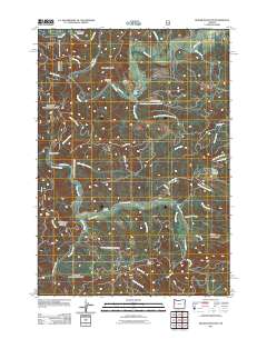 2011 Digger Mountain2011 Print · USGSLane County’s river-carved Coast Range is captured here in the early twenty-first century, showing a landscape defined by its timber roads and winding watercourses. Genealogists and local historians can locate the Lone Fir Cemetery or trace the rural origins of Missouri Bend and the Missouri Bend School.
 - 2011 Map of Flat Mountain, 2011 Print
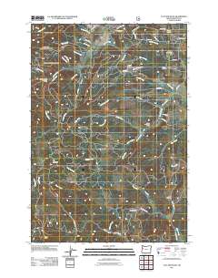 2011 Flat Mountain2011 Print · USGSBenton County foothills are captured here in the early twenty-first century, showing a landscape defined by timber ridges and deep creek drainages. Researchers can locate Emerich Cemetery, the Schreiber Lodge Boy Scout Camp, and terrain like Hells Canyon.
 - 2011 Map of Five Rivers, 2011 Print
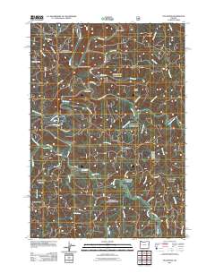 2011 Five Rivers2011 Print · USGSCoastal Oregon mountain life is centered around the Alsea River in this 2011 survey of Lane County. Researchers can trace the remote settlements of Fisher and Paris alongside landmarks like Denzer Bridge and Cascade Falls.
 - 2011 Map of Wren, 2011 Print
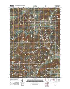 2011 Wren2011 Print · USGSBenton County at the start of the 2010s reveals a landscape of small river settlements and winding valley roads. Genealogists and researchers can trace local roots at Wren Cemetery or Pleasant Valley Cemetery while exploring the banks of the Marys River near Harris.
 - 2011 Map of Marys Peak, 2011 Print
 2011 Marys Peak2011 Print · USGSIn the Oregon Coast Range during the early 2010s, these timbered slopes and creek valleys supported small communities and mountain camps. Genealogists can trace local roots through the Blodgett Cemetery or Leslie Cemetery, while hikers can locate the Marys Peak Observation Point.
 - 2011 Map of Alsea, 2011 Print
 2011 Alsea2011 Print · USGSBenton County's timber and river country is captured here during the early twenty-first century, centered on the community of Alsea. Researchers can trace the local cemetery, the Alsea River Hatchery, and landmarks like Old Blue Mountain and Alsea Summit.
 - 2011 Map of Grass Mountain, 2011 Print
 2011 Grass Mountain2011 Print · USGSBenton County forest lands and the high ridges of the Oregon Coast Range are charted here in the early twenty-first century. Researchers can locate the Fall Creek Fish Hatchery and trace family-named landmarks like Sharp Ranch and Creel Hill.
 - 2011 Map of Airlie South, 2011 Print
 2011 Airlie South2011 Print · USGSBenton County's rural hills and the community of Airlie are shown here as they appeared in the early 21st century. Researchers can trace family history at Williams Cemetery or study the varied terrain around Forest Peak, Kenney Reservoir, and Crescent Valley.
 - 2011 Map of Riverside, 2011 Print
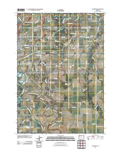 2011 Riverside2011 Print · USGSThe river-driven landscape of the Willamette Valley is captured here in the early twenty-first century, showcasing the fertile region between Corvallis and Albany. Researchers can trace family history at Orleans Cemetery or locate landmarks like Holiday Airstrip and the OSU Experimental Farm.
 - 2011 Map of Kings Valley, 2011 Print
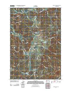 2011 Kings Valley2011 Print · USGSBenton County's rural heartland is documented here in the early twenty-first century, showing the enduring geography of the Luckiamute River valley. Genealogists can locate several historic burial grounds including Pedee Cemetery and the Kings Valley Cemetery.
 - 2011 Map of Corvallis, 2011 Print
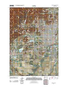 2011 Corvallis2011 Print · USGSCorvallis and the surrounding Willamette Valley are captured here just after the turn of the millennium. Local researchers can trace the development of Oregon State University and locate landmarks like the Benton County Fairgrounds, Clemens Log Pond, and Philomath.
 - 2011 Map of Monroe, 2011 Print
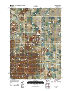 2011 Monroe2011 Print · USGSBenton County settlements and river bottomlands are captured here in the early 2000s, showing the agricultural landscape around the Long Tom River. Local historians can trace family burial sites at Alpine Cemetery, Saint Rose Cemetery, and Reeves Cemetery.
 - 2011 Map of Glenbrook, 2011 Print
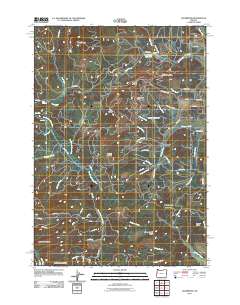 2011 Glenbrook2011 Print · USGSThe Oregon Coast Range near Glenbrook appears in the early twenty-first century as a landscape dominated by timber production and rugged hydrology. Researchers can trace the timber-industry footprint at Hull-Oakes Log Pond or explore the drainage systems of the South Fork Alsea River and Alsea Falls.
 - 2011 Map of Harrisburg, 2011 Print
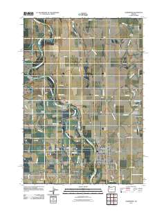 2011 Harrisburg2011 Print · USGSThe Willamette River creates a intricate network of islands and sloughs throughout this agricultural corridor during the early 2000s. Genealogists can locate several historic burial grounds, such as Halsey Pioneer Cemetery and Lancaster-Young Cemetery.
 - 2011 Map of Greenberry, 2011 Print
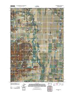 2011 Greenberry2011 Print · USGSBenton County agriculture and aviation define this area south of Corvallis in the early twenty-first century. Researchers can locate several family cemeteries, including Oakridge Cemetery, and trace the small communities of Shrock and Rickard along the Muddy Creek corridor.
 - 2011 Map of Albany, 2011 Print
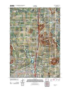 2011 Albany2011 Print · USGSThe Willamette Valley’s river-and-rail corridor is captured here in the early twenty-first century as Albany and Jefferson continue to grow. Family historians can trace local roots through Riverside Cemetery, Allphin Cemetery, and the Jefferson Post Office.
 - 2011 Map of Prairie Peak, 2011 Print
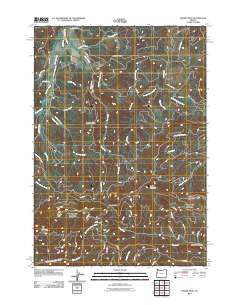 2011 Prairie Peak2011 Print · USGSThis high-elevation reach of the Oregon Coast Range is documented in the early twenty-first century, showing a landscape of timber ridges and headwaters. Researchers can trace forest access routes through Gunsight Pass and the steep terrain surrounding Prairie Peak and Billy Tower Canyon.
 - 2011 Map of Summit, 2011 Print
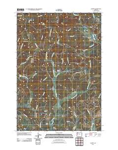 2011 Summit2011 Print · USGSThe Oregon Coast Range near the Benton and Lincoln County border is shown here in the early 21st century. Genealogists can locate family burial sites at Summit Cemetery and May Stouts Cemetery or trace the early paths through Happy Hollow.
 - 2011 Map of Lewisburg, 2011 Print
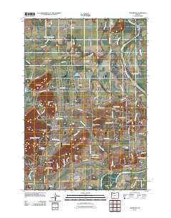 2011 Lewisburg2011 Print · USGSThe Willamette Valley’s rural landscape is captured here in the early twenty-first century as agricultural research and aviation intersect. Genealogists and historians can locate several local burial sites like Ridder Cemetery or trace the drainage of Bowers Slough near Adair Village.
 - 2011 Map of Peoria, 2011 Print
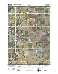 2011 Peoria2011 Print · USGSThe Linn County riverfront and agricultural heartland appear in detail during the early twenty-first century. Genealogists and local historians can locate family burial sites at Brattain Cemetery and Pugh Cemetery or trace the winding sloughs of the Willamette River.
 - 2014 Map of Peoria, 2014 Print
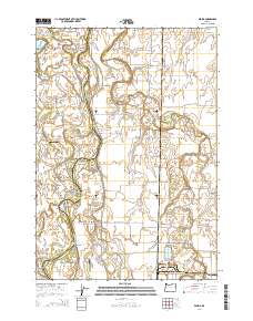 2014 Peoria2014 Print · USGSPeoria and the Willamette River floodplain are captured here in the early twenty-first century as the river winds through Linn and Benton counties. Genealogists and local historians can locate several family burial sites like Miller-Coon Cem and trace the complex waterways of McBee Slough and Booneville Channel.
 - 2014 Map of Summit, 2014 Print
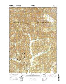 2014 Summit2014 Print · USGSThe Oregon Coast Range highlands are captured here in the early twenty-first century, centered on the divide where multiple river systems originate. Genealogists and historians can trace the remote roads and cemeteries of Summit and Nashville, or locate landmarks like Happy Hollow and Goat Knob.
 - 2014 Map of Glenbrook, 2014 Print
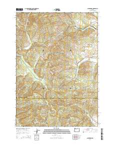 2014 Glenbrook2014 Print · USGSThe timberlands and valleys of Benton and Lane Counties are mapped here in the early twenty-first century. Genealogists and researchers can trace the roads and waterways around Glenbrook, Wagon Wheel, and the S Fork Alsea River.
 - 2014 Map of Prairie Peak, 2014 Print
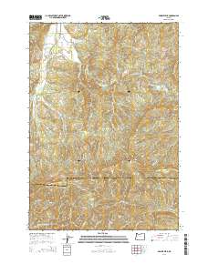 2014 Prairie Peak2014 Print · USGSThe Oregon Coast Range at the Benton and Lane county line is shown here in the mid-2010s, defined by timber access and high peaks. Researchers can trace forest routes like the London Cutoff and find landmarks such as Gunsight Pass and Prairie Peak.
 - 2014 Map of Kings Valley, 2014 Print
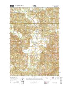 2014 Kings Valley2014 Print · USGSThe Luckiamute River valley in Polk and Benton Counties is captured here in the mid-2010s, showing a landscape defined by timber and agriculture. Researchers can trace local lineage at Edwards Pioneer Cem, locate the historic Fort Hoskins Spring, and find landmarks like Ritner Creek Bridge.
Showing maps 1-25 of 60
Top cities of Benton County
- Corvallis historical maps
- Philomath historical maps
- Monroe historical maps
- Adair Village historical maps
Frequently asked questions
- What are the different types of historical maps available for Benton County?
- What is the oldest map of Benton County?
- Where can I purchase historical maps of Benton County for my home or office?
- Where can I download high-res historical maps of Benton County?
- Are there historical topographic maps available for Benton County?
- Is there historical aerial imagery available for Benton County?
- Where are historical maps of Benton County sourced from?