2020s Maps of Benton County, Oregon
Explore 41 historic maps of Benton County from the 2020s. These maps offer a rare glimpse into what life looked like during the 2020s — showing old roads, neighborhoods, homes, and landmarks that have changed or disappeared over time.
Whether you're researching your family's past, planning a metal detecting trip, or studying how Benton County's landscape evolved across the 2020s, these high-resolution maps are a powerful tool for exploring the history of this region.
- Focus on a specific era: All maps on this page are from the 2020s, giving you a focused view of this time period.
- See what’s changed: Compare century-old streets, trails, and buildings to today's modern landscape using overlays and satellite layers.
- Research with precision: Use these maps for genealogy, historical research, land use analysis, or educational projects.
- View, download, or print: Maps are fully viewable online in high resolution, and can be downloaded or printed for your own records.
Start exploring Benton County's history through authentic maps from the 2020s. This is your window into the past.
Benton County, OR maps
(41)- 2020 Map of Kings Valley, 2020 Print
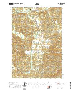 2020 Kings Valley2020 Print · USGSBenton and Polk counties meet in this valley landscape at the start of the 2020s. Genealogists and historians can trace pioneer roots through Edwards Pioneer Cem or locate local landmarks like the Ritner Creek Bridge and Fort Hoskins Spring.
 - 2020 Map of Wren, 2020 Print
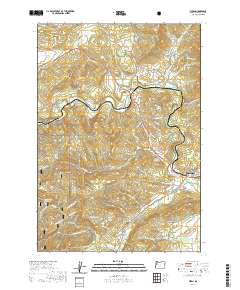 2020 Wren2020 Print · USGSBenton County's timber and river valleys are captured here in 2020, centered on the historic crossroads at Wren and the foothills of the Coast Range. Researchers can trace family sites at Wren Cem and Blodgett Cem or locate the rural siding at Harris.
 - 2020 Map of Summit, 2020 Print
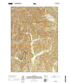 2020 Summit2020 Print · USGSThe high divide of the Oregon Coast Range is captured here in the late twenty-teens, showing the headwaters of three major river systems. Genealogists can locate family burial grounds including Mays Strouts Cem and Claremont Cem near the settlements of Nashville and Summit.
 - 2020 Map of Airlie South, 2020 Print
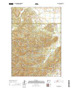 2020 Airlie South2020 Print · USGSThe borderlands of Polk and Benton Counties are captured here in the early twenty-first century, showing a landscape of timbered peaks and winding creek drainages. Researchers can trace rural lineages at Williams Cem and locate local landmarks like Sulphur Springs and Forest Peak.
 - 2020 Map of Monroe, 2020 Print
 2020 Monroe2020 Print · USGSBenton and Lane counties meet in the Willamette Valley at the start of the 2020s, showing a landscape defined by the Long Tom River and Muddy Creek. Genealogists can locate several local burial grounds, including Saint Rose Cem, Bellfountain Cem, and Alpine Cem.
 - 2020 Map of Flat Mountain, 2020 Print
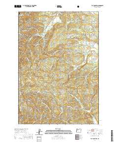 2020 Flat Mountain2020 Print · USGSBenton County's timbered ridges and creek valleys are documented here in the modern era as they transition into the coastal forest. Researchers can pinpoint early burial grounds like Emerick Cem and Powell Cem or trace the drainage of Beaver Cr toward Hells Canyon.
 - 2020 Map of Alsea, 2020 Print
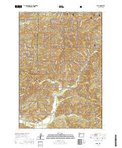 2020 Alsea2020 Print · USGSBenton County's timber and river country is meticulously documented here as it appeared in the early 21st century. Researchers can locate family landmarks like the Alsea Cem and Cathcart Springs or trace the rugged topography of Old Blue Mtn and Easter Ridge.
 - 2020 Map of Glenbrook, 2020 Print
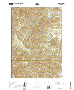 2020 Glenbrook2020 Print · USGSBenton and Lane Counties are shown at the height of their modern timber era, where the logging landscape meets the Coast Range peaks. Genealogists and historians can trace the roads and ridges around Glenbrook, identifying sites like the Hull-Oakes Log Pond and McCloskey Knob.
 - 2020 Map of Prairie Peak, 2020 Print
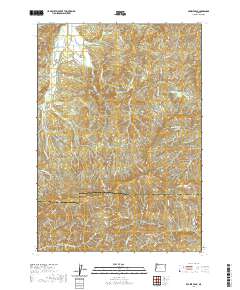 2020 Prairie Peak2020 Print · USGSThe high ridges of the Oregon Coast Range meet at the Lane and Benton county line in this contemporary topographic study. Genealogists and outdoor historians can trace the access routes around Prairie Peak, Gunsight Pass, and the Gygi and Engle Reservoir.
 - 2020 Map of Digger Mountain, 2020 Print
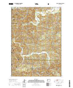 2020 Digger Mountain2020 Print · USGSThe Oregon Coast Range at the junction of Lane, Benton, and Lincoln Counties is documented here during a period of modern forest management. Researchers can trace family sites like Lone Fir Cem and explore the winding valleys of Alsea Valley and Missouri Bend.
 - 2020 Map of Greenberry, 2020 Print
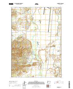 2020 Greenberry2020 Print · USGSBenton County’s rural landscape is captured here in the early twenty-first century, showing a region defined by family legacies and expansive marshes. Genealogists can locate family-named sites like McBee Family Cem and Winkle Butte near the historic Greenberry settlement.
 - 2020 Map of Peoria, 2020 Print
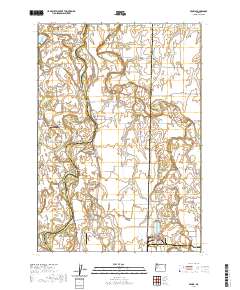 2020 Peoria2020 Print · USGSThe riverine landscapes of Linn County come to life in this survey of the valley's winding waterways. Researchers can trace family history through sites like Brattain Cem or explore the shifting banks of the Willamette River and Hoacum Island.
 - 2020 Map of Five Rivers, 2020 Print
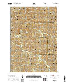 2020 Five Rivers2020 Print · USGSThe remote interior of the Oregon Coast Range is captured here in the late twenty-teens, showing the rugged timberlands where three counties meet. Researchers can trace the drainage of Five Rivers and locate the settlement of Fisher or the terrain of Fleece Ridge.
 - 2020 Map of Corvallis, 2020 Print
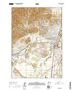 2020 Corvallis2020 Print · USGSBenton County's valley floor and rising hills are documented here in the early twenty-first century. Researchers can trace the legacy of early settlers and local industry through features like Mount Union Cem, Clements Log Pond, and the Benton County Courthouse.
 - 2020 Map of Grass Mountain, 2020 Print
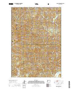 2020 Grass Mountain2020 Print · USGSBenton and Lincoln counties meet in these timbered highlands of the Coast Range during the early twenty-first century. Researchers can trace the rugged headwaters of the Alsea River and locate remote landmarks like Grass Mtn, Klickitat Lake, and Little Digger Mtn.
 - 2020 Map of Riverside, 2020 Print
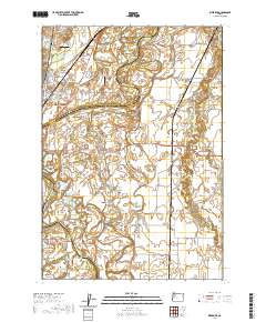 2020 Riverside2020 Print · USGSThe Willamette River valley comes to life in this contemporary survey, showing the complex river channels and fertile bottomlands between Corvallis and Albany. Genealogists and local historians can trace family sites at Orleans Cem or Oakville Cem and follow the winding courses of Muddy Creek and the Calapooia River.
 - 2020 Map of Harrisburg, 2020 Print
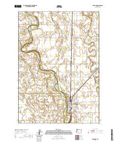 2020 Harrisburg2020 Print · USGSThe Willamette River valley comes to life in this contemporary survey of the borders of Linn, Benton, and Lane counties. Researchers can trace family history through numerous landmarks including Halsey Pioneer Cem, Lancaster, and Munson Airport.
 - 2020 Map of Lewisburg, 2020 Print
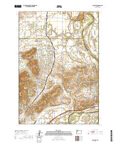 2020 Lewisburg2020 Print · USGSThe Willamette Valley at the Benton and Polk county line comes into focus in this modern era survey. Genealogists and historians can locate specific family landmarks like Ridders Pioneer Cem, the Palestine Church, and the quiet crossroads of Suver.
 - 2020 Map of Marys Peak, 2020 Print
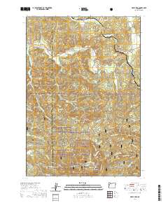 2020 Marys Peak2020 Print · USGSThe Coast Range highlands of Benton and Lincoln Counties are mapped here in the late twenty-teens, dominated by the massif of Marys Peak. Local historians can locate early burial sites like Mulkey Cem and trace the paths of the Tumtum River and Marys River.
 - 2020 Map of Albany, 2020 Print
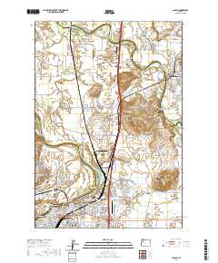 2020 Albany2020 Print · USGSThe Willamette and Santiam rivers meet in this 2020 overview of the Albany area, showing its development as a valley transportation hub. Researchers can trace historic cemeteries like Waverly Memorial Cem and Allphin Cem alongside the Linn County Courthouse.
 - 2023 Map of Corvallis, 2023 Print
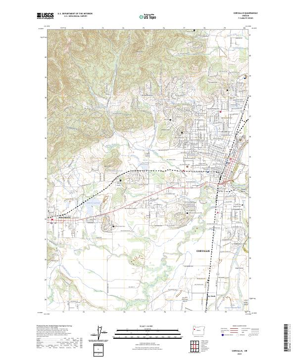 2023 Corvallis2023 Print · USGSCorvallis and Philomath are captured here in the early 2020s, showing the modern layout of this university city and its riverfront islands. Researchers can trace local heritage through sites like the Benton County Courthouse, Zion Lutheran Cem, and the Clemens Log Pond.
 - 2023 Map of Marys Peak, 2023 Print
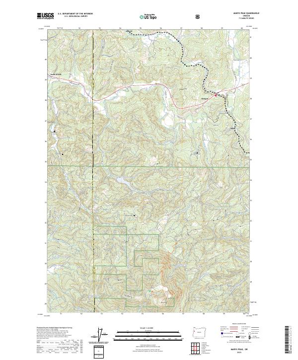 2023 Marys Peak2023 Print · USGSBenton and Lincoln counties are captured here in the early 2020s, centered on the high ridges of the Coast Range. Researchers can locate remote burial sites like Shotpouch Cem and trace the headwaters of the Tumtum River near Blodgett.
 - 2023 Map of Five Rivers, 2023 Print
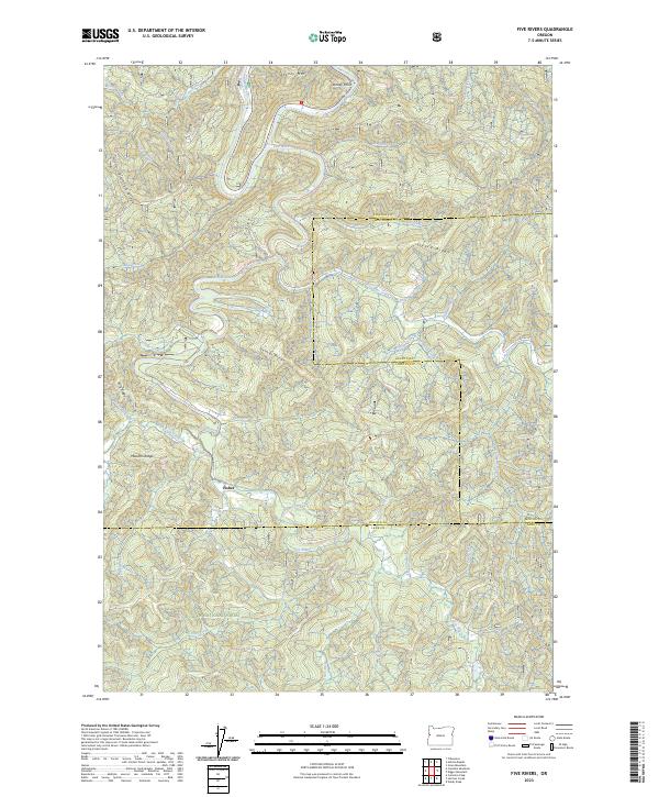 2023 Five Rivers2023 Print · USGSThe Oregon Coast Range backcountry comes into focus in this recent survey of the Siuslaw National Forest. Researchers can trace the remote settlement of Fisher and topographic landmarks like Cascade Falls, Pitchfork Ridge, and Fleece Ridge.
 - 2023 Map of Wren, 2023 Print
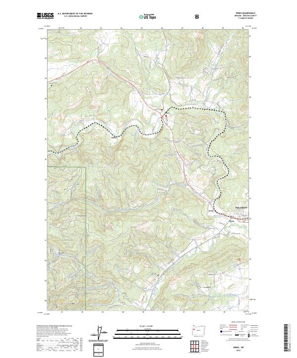 2023 Wren2023 Print · USGSBenton County’s foothills and river valleys are captured here in the early twenty-first century as the landscape transitions into the coast range. Genealogists and local historians can trace family-named sites like Wren Cem and the small settlements of Noon and Harris.
 - 2023 Map of Summit, 2023 Print
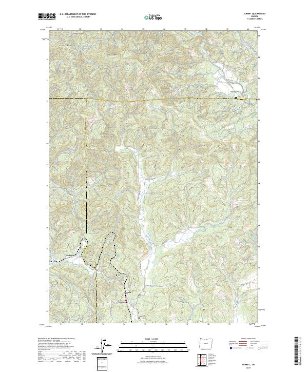 2023 Summit2023 Print · USGSBenton and Lincoln counties meet at this coastal range summit during the early twenty-first century. Genealogists and local historians can trace small settlements and rural landmarks like Happy Hollow, Summit Cem, and the high-elevation waters of Hamar Lake.
Showing maps 1-25 of 41
Top cities of Benton County
- Corvallis historical maps
- Philomath historical maps
- Monroe historical maps
- Adair Village historical maps
Frequently asked questions
- What are the different types of historical maps available for Benton County?
- What is the oldest map of Benton County?
- Where can I purchase historical maps of Benton County for my home or office?
- Where can I download high-res historical maps of Benton County?
- Are there historical topographic maps available for Benton County?
- Is there historical aerial imagery available for Benton County?
- Where are historical maps of Benton County sourced from?