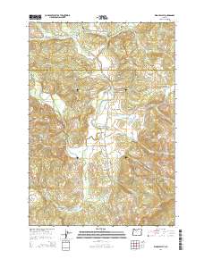
2014 Map of Kings Valley
USGS Topo · Published 2014About this map
Kings Valley and the neighboring settlement of Hoskins serve as the primary focal points of this rural landscape where the Luckiamute River meanders south through the borderlands of Polk and Benton Counties. The area is marked by a deep genealogical record, preserved through several burial sites including Edwards Pioneer Cem, Womer Cem, and the Kings Valley Cem. These landmarks, along with the Ritner Creek Bridge on the Kings Valley Hwy, reflect the long-standing agricultural and timber foundations of the region.
Find a feature on this map
65 named features on this map. Tap any name to fly to it.
Don’t see what you’re looking for? This feature index may not catch every label — zoom into the map to look around manually.
Map Details
Editions of this 2014 Kings Valley Map
This is the sole edition of this map. No revisions or reprints were ever made.
Other maps of this area

1913 · Philomath
USGS Topo · 1:31,680

1914 · Soap Creek
USGS Topo · 1:31,680

1921 · Corvallis
USGS Topo · 1:62,500

1922 · Airlie
USGS Topo · 1:31,680

1939 · Marys Peak
USGS Topo · 1:62,500

1942 · Marys Peak
USGS Topo · 1:62,500

1942 · Corvallis
USGS Topo · 1:62,500

1942 · Valsetz
USGS Topo · 1:62,500

1942 · Dallas
USGS Topo · 1:62,500

1953 · Salem
USGS Topo · 1:250,000