2000s (21st Century) Maps of Myrtle Point, Oregon
Explore 7 historic maps of Myrtle Point from the 2000s (21st Century). These maps offer a rare glimpse into what life looked like during the 2000s — showing old roads, neighborhoods, homes, and landmarks that have changed or disappeared over time.
Whether you're researching your family's past, planning a metal detecting trip, or studying how Myrtle Point's landscape evolved across the 2000s, these high-resolution maps are a powerful tool for exploring the history of this region.
- Focus on a specific era: All maps on this page are from the 2000s, giving you a focused view of this time period.
- See what’s changed: Compare century-old streets, trails, and buildings to today's modern landscape using overlays and satellite layers.
- Research with precision: Use these maps for genealogy, historical research, land use analysis, or educational projects.
- View, download, or print: Maps are fully viewable online in high resolution, and can be downloaded or printed for your own records.
Start exploring Myrtle Point's history through authentic maps from the 2000s. This is your window into the past.
Myrtle Point, OR maps
(7)- 2011 Map of Myrtle Point, 2011 Print
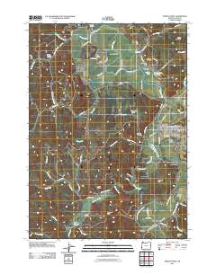 2011 Myrtle Point2011 Print · USGSCovers Myrtle Point, including Broadbent, Arago, and other nearby areas
 - 2011 Map of Bridge, 2011 Print
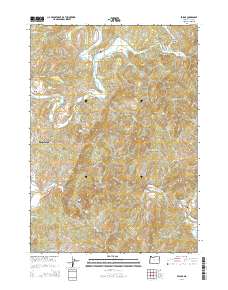
 2011 Bridge2011 Print · USGSCovers Myrtle Point, including Bridge, Coos County, and other nearby areas
 - 2014 Map of Bridge, 2014 Print
 2014 Bridge2014 Print · USGSCovers Myrtle Point, including Bridge, Coos County, and other nearby areas
 - 2020 Map of Bridge, 2020 Print
 2020 Bridge2020 Print · USGSCovers Myrtle Point, including Bridge, Coos County, and other nearby areas
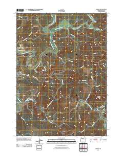
 - 2020 Map of Myrtle Point, 2020 Print
 2020 Myrtle Point2020 Print · USGSCovers Myrtle Point, including Broadbent, Arago, and other nearby areas
 - 2023 Map of Bridge, 2023 Print
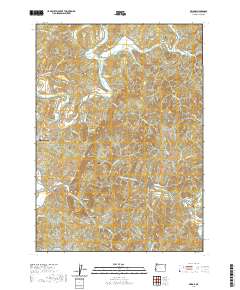
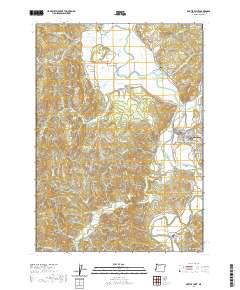
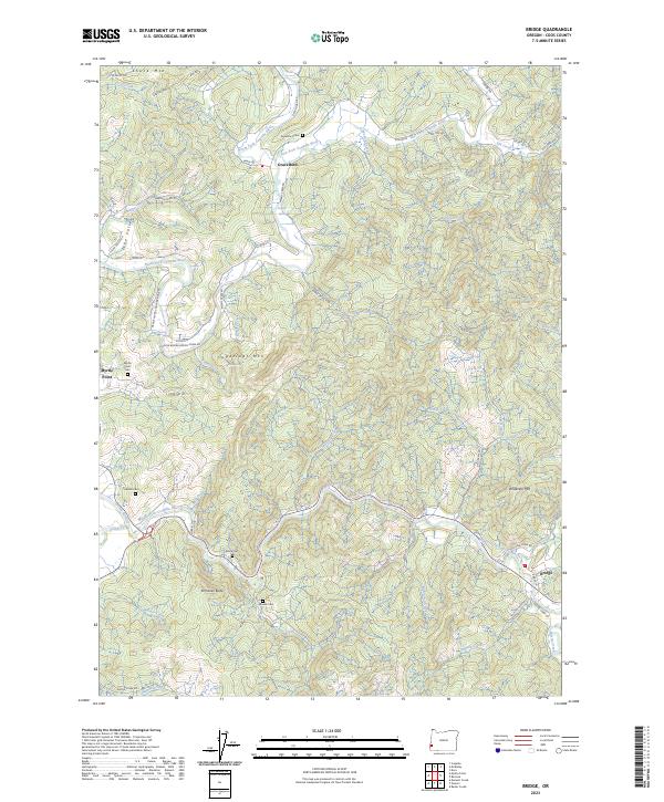 2023 Bridge2023 Print · USGSThe forks of the Coquille River meet in this corner of Coos County during the early 2020s, revealing a landscape of winding river valleys and timbered ridges. Genealogists can locate several family burial sites, including Garrett Cem, Brack Cem, and the Gravelvford Cem.
 - 2023 Map of Myrtle Point, 2023 Print
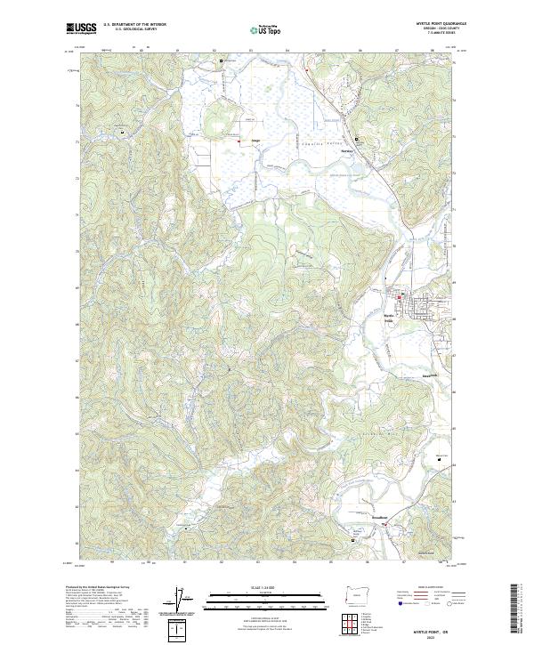 2023 Myrtle Point2023 Print · USGSCoastal Oregon river valleys and timberlands are well-documented here in the early twenty-first century. Genealogists and local historians can trace family sites at Norway Cem and Warner Cem, or explore the rail and river geography near Myrtle Point and Broadbent.
End of results
Showing maps 1-7 of 7
Top cities near Myrtle Point
Frequently asked questions
- What are the different types of historical maps available for Myrtle Point?
- What is the oldest map of Myrtle Point?
- Where can I purchase historical maps of Myrtle Point for my home or office?
- Where can I download high-res historical maps of Myrtle Point?
- Are there historical topographic maps available for Myrtle Point?
- Is there historical aerial imagery available for Myrtle Point?
- Where are historical maps of Myrtle Point sourced from?