1980s Maps of Crook County, Oregon
Explore 38 historic maps of Crook County from the 1980s. These maps offer a rare glimpse into what life looked like during the 1980s — showing old roads, neighborhoods, homes, and landmarks that have changed or disappeared over time.
Whether you're researching your family's past, planning a metal detecting trip, or studying how Crook County's landscape evolved across the 1980s, these high-resolution maps are a powerful tool for exploring the history of this region.
- Focus on a specific era: All maps on this page are from the 1980s, giving you a focused view of this time period.
- See what’s changed: Compare century-old streets, trails, and buildings to today's modern landscape using overlays and satellite layers.
- Research with precision: Use these maps for genealogy, historical research, land use analysis, or educational projects.
- View, download, or print: Maps are fully viewable online in high resolution, and can be downloaded or printed for your own records.
Start exploring Crook County's history through authentic maps from the 1980s. This is your window into the past.
Crook County, OR maps
(38)- 1980 Map of Bend, 1993 Print
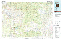
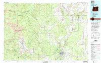 1980 Bend1993 Print · USGSCentral Oregon was evolving rapidly in the early eighties as outdoor recreation and transit hubs like Bend and Redmond expanded. Trace the historical footprints of Sisters, the Metolius River basin, and the Oregon Trunk Railway through the high desert.2 unique versions available
 - 1981 Map of Powell Mtn
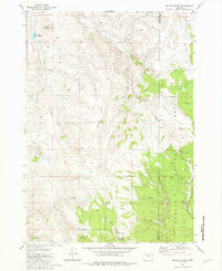
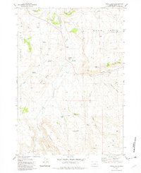
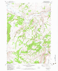
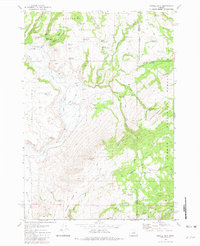 1981 Powell Mtn1981 Print · USGSCrook County ranching and timber lands are captured here in the early eighties, centered on the high ridges of the Ochoco National Forest. Researchers can find isolated homestead sites like Humphrey Ranch, the Rager Ranger Station, and even a lone Grave in the backcountry.
 - 1981 Map of Suplee
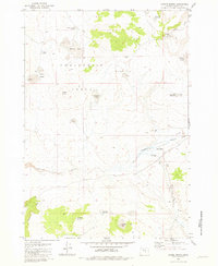
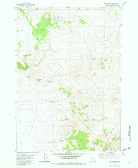
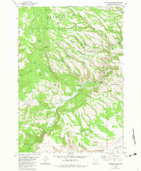
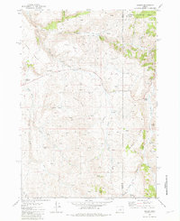 1981 Suplee1981 Print · USGSCrook and Grant counties were defined by isolated ranching outposts and thermal features in the early eighties. Genealogists and historians can trace the foundations of the Suplee (Site) community and family landmarks like Bernard Ranch and Weberg Ranch.
 - 1981 Map of Dayville
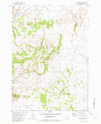
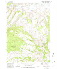
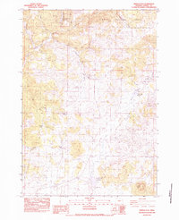
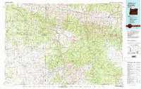 1981 Dayville1981 Print · USGSEastern Oregon’s high-desert rangeland and timber country are captured here in the early eighties, centered on the John Day River valley. Genealogists and historians can trace isolated settlements like Izee and Suplee alongside historical mining sites including Chambers Mine.2 unique versions available
 - 1981 Map of Prineville
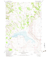
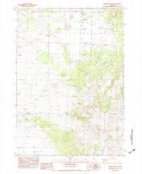
 1981 Prineville1981 Print · USGSPrineville and the Crooked River valley are seen here in the early eighties as the region balanced timber, ranching, and new water management projects. Genealogists and local historians can trace family-named landmarks like Watkins, locate the Cem, or find old mining sites such as the Amity Mine.
 - 1981 Map of Mackey Butte
 1981 Mackey Butte1981 Print · USGSThe high timber and rimrock of the Oregon interior are captured here in the early eighties, straddling the line between Crook and Harney counties. Researchers can trace the water-dependent ranching life of the region through sites like Melhorn Ranch, Morris Meadows, and O'Keefe Reservoir.
 - 1981 Map of Hardin Ranch
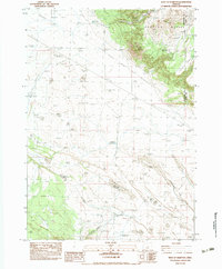
 1981 Hardin Ranch1981 Print · USGSCrook County ranching lands are captured here in the early 1980s, centered on the high plateaus and water catchments. Genealogists and historians can trace family-named sites and desert infrastructure like Hardin Ranch, Boston Sink, and Twelvemile Dam.
 - 1981 Map of Maupin Butte
 1981 Maupin Butte1981 Print · USGSHigh desert ranching and volcanic geology define this portion of Crook County in the early eighties. Genealogists and historians can trace the isolated Ryegrass Ranch and natural landmarks like Maupin Butte, Fossil Ridge, and Summit Reservoir.
 - 1981 Map of Twelvemile Reservoir
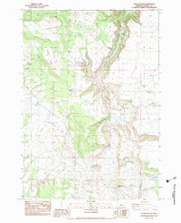
 1981 Twelvemile Reservoir1981 Print · USGSHigh-plateau ranching territory along the Crook and Harney County line is captured here in the early eighties. Researchers can trace land use patterns and water sources through landmarks like Berger Ranch, Twelvemile Reservoir, and the distinct Grindstone Rim.
 - 1981 Map of Paulina, 1982 Print
 1981 Paulina1982 Print · USGSCrook County ranching culture and water infrastructure are well-documented here in the early eighties. Genealogists and local historians can trace family landholdings like Minifie Ranch and Sartain Ranch or locate the Elevated Aqueduct near Paulina.
 - 1981 Map of Dust Bowl, 1982 Print
 1981 Dust Bowl1982 Print · USGSHigh-desert cattle country comes into focus in the late 1970s at the junction of Crook, Deschutes, and Harney counties. Ranchers and historians can trace vital water sources like Triple L Waterhole, Juniper Spring, and the isolated Buck Creek Ranch.
 - 1981 Map of Bulger Ridge, 1982 Print
 1981 Bulger Ridge1982 Print · USGSHarney and Crook counties meet in this high-desert study of the Oregon interior during the early eighties. Genealogists and local historians can trace remote landmarks such as Juniper Hill Ranch, Jacks Camp, and the many waterholes like Spencers Waterhole.
 - 1981 Map of Angell Butte, 1982 Print
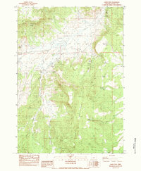
 1981 Angell Butte1982 Print · USGSCrook County ranching and high-desert terrain are documented here in the early eighties, centered on the historic Brennan Ranch. Researchers can trace old livestock water sources and landmarks like Gollum Reservoir, Angell Butte, and Axtell Gap.
 - 1981 Map of Ibex Butte, 1982 Print
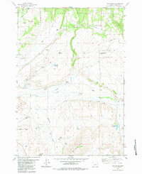
 1981 Ibex Butte1982 Print · USGSCrook County’s volcanic landscape is captured here in the early eighties, showcasing a remote network of rangeland and high-rim terrain. Researchers can trace land use through stock water sites like Santry Waterhole, Rickman Spring, and the series of Twelvemile Reservoirs.
 - 1981 Map of Stephenson Mountain, 1997 Print
 1981 Stephenson Mountain1997 Print · USGSThe high-desert ranching and mining heart of North Central Oregon is captured here in the early eighties. Genealogists and historians can trace old settlements and mineral prospects from Shaniko to the Oregon King Mine and the John Day River canyon.
 - 1982 Map of Arrowwood Point
 1982 Arrowwood Point1982 Print · USGSThe Maury Mountains of central Oregon appear in the early eighties as a landscape of timber and high range. Genealogists and historians can trace sites like Camp Maury (Site) and the Maury Mtn Cem, or find remote landmarks like Pipe Organ Rock.
 - 1982 Map of Rabbit Valley, 1983 Print
 1982 Rabbit Valley1983 Print · USGSCrook County ranching country is captured here in the early eighties, showing a landscape defined by water management and high-desert peaks. Researchers can trace the importance of water via the Merwin Reservoir No 3 system, Watson Spring, and Biddle Res.
 - 1982 Map of Liggett Table, 1983 Print
 1982 Liggett Table1983 Print · USGSCrook County’s high tablelands and deep river canyons are documented here in the early 1980s. Researchers can locate remote cattle ranching landmarks like Twin Buttes Ranch, the Paulina Guard Station, and the isolated St Peters Cave.
 - 1983 Map of Committee Creek
 1983 Committee Creek1983 Print · USGSCrook County ranching and forest lands are captured here in the early 1980s, showing a remote landscape defined by water and terrain. Researchers can locate isolated landmarks like Old Faithful Res, Horse Prairie, and the winding North Fork Crooked River.
 - 1983 Map of Pringle Flat
 1983 Pringle Flat1983 Print · USGSHigh desert ranching and forest management in Crook County define this early 1980s landscape. Trace the importance of water through landmarks like the Circle F Ranch, Shorty Gay Well, and the Pringle Flat Reservoir.
 - 1983 Map of Hampton Butte
 1983 Hampton Butte1983 Print · USGSThe high desert of Crook and Deschutes Counties is captured here in the early 1980s, showing a landscape defined by ranching and remote ridgelines. Researchers can trace land use through features like Barbaras Ranch, Headquarters Waterhole, and the prominent Hampton Butte.
 - 1983 Map of Gerry Mtn
 1983 Gerry Mtn1983 Print · USGSCrook County ranching and mining operations are captured here during the early 1980s. Researchers can trace the water-dependent economy of the high desert through features like Weaver Ranch, the Rock Quarry, and Mule Point Reservoir.
 - 1983 Map of West of Hampton
 1983 West of Hampton1983 Print · USGSThe high desert border of Deschutes and Crook counties appears in the early 1980s as a land of volcanic buttes and vital waterholes. Researchers can trace remote infrastructure from Imperial Well and Brick Well to the elevations of Hampton Buttes.
 - 1983 Map of Sand Hollow
 1983 Sand Hollow1983 Print · USGSCrook County ranching life in the early eighties centered on the life-giving waters of the South Fork Crooked River. Researchers can trace remote family holdings at Cold Spring Ranch or Sherman Ranch and locate high-desert water sources like the Divide Waterhole.
 - 1983 Map of Mud Spring
 1983 Mud Spring1983 Print · USGSCrook County ranching and high desert plateau life are detailed in this early 1980s survey. Genealogists and historians can trace family landholdings such as Myers Ranch and Durgan Ranch or locate landmarks like Laughlin Table and Rager Airstrip.
Showing maps 1-25 of 38
Top cities of Crook County
Frequently asked questions
- What are the different types of historical maps available for Crook County?
- What is the oldest map of Crook County?
- Where can I purchase historical maps of Crook County for my home or office?
- Where can I download high-res historical maps of Crook County?
- Are there historical topographic maps available for Crook County?
- Is there historical aerial imagery available for Crook County?
- Where are historical maps of Crook County sourced from?