2020s Maps of Crook County, Oregon
Explore 146 historic maps of Crook County from the 2020s. These maps offer a rare glimpse into what life looked like during the 2020s — showing old roads, neighborhoods, homes, and landmarks that have changed or disappeared over time.
Whether you're researching your family's past, planning a metal detecting trip, or studying how Crook County's landscape evolved across the 2020s, these high-resolution maps are a powerful tool for exploring the history of this region.
- Focus on a specific era: All maps on this page are from the 2020s, giving you a focused view of this time period.
- See what’s changed: Compare century-old streets, trails, and buildings to today's modern landscape using overlays and satellite layers.
- Research with precision: Use these maps for genealogy, historical research, land use analysis, or educational projects.
- View, download, or print: Maps are fully viewable online in high resolution, and can be downloaded or printed for your own records.
Start exploring Crook County's history through authentic maps from the 2020s. This is your window into the past.
Crook County, OR maps
(146)- 2020 Map of Rodman Rim, 2020 Print
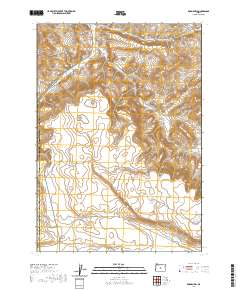 2020 Rodman Rim2020 Print · USGSDeschutes County land use and water management are the focus of this survey of the high desert in the early 2020s. Researchers can trace the path of the Dry River and the location of Houston Reservoir Number One near the Rodman Rim.
 - 2020 Map of West of Hampton, 2020 Print
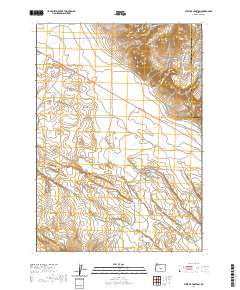 2020 West of Hampton2020 Print · USGSThe central Oregon High Desert reveals its volcanic topography in this recent survey of the Deschutes and Crook County line. Researchers can trace seasonal watercourses like Lizard Cr and the heights of Hampton Buttes near Lizard Creek Rd.
 - 2020 Map of Brothers SW, 2020 Print
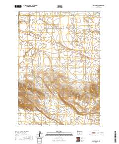 2020 Brothers SW2020 Print · USGSHigh desert terrain along the border of Crook and Deschutes counties is captured in this modern survey. Researchers can trace the path of the Dry River or locate remote water resources like Houston Reservoir Number Two and Houston Reservoir Number Three near Merrill Rd.
 - 2020 Map of Brothers, 2020 Print
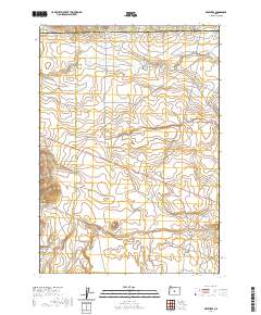 2020 Brothers2020 Print · USGSThe High Desert settlement of Brothers is documented here in the early twenty-first century as a vital crossroads for the surrounding ranchlands. Researchers can trace the seasonal path of the Dry River and locate remote landmarks like Varco Well and the Harney Holes.
 - 2020 Map of Sand Hollow, 2020 Print
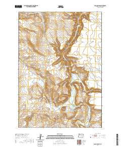 2020 Sand Hollow2020 Print · USGSCrook County’s arid high desert plateau is documented here in the early twenty-first century, showing a landscape defined by vital water management. Trace early ranching footprints through features like Soda Spring, Furnace Waterhole, and the prominent Sherman Rim.
 - 2020 Map of Pringle Flat, 2020 Print
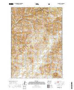 2020 Pringle Flat2020 Print · USGSCrook County’s high desert and forest boundary is documented here during the early 2020s. Researchers can trace the water systems of Klootchman Cr Reservoir and remote travel routes like Pringle Flat Rd and SE Camp Creek Rd.
 - 2020 Map of Imperial Valley North, 2020 Print
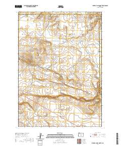 2020 Imperial Valley North2020 Print · USGSHigh desert rangelands at the intersection of Deschutes and Crook Counties are captured in this recent survey. Local researchers can trace the path of Dry River and locate remote landmarks like Grassy Butte or the junction of Van Lake Rd.
 - 2020 Map of Sugarloaf Butte, 2020 Print
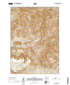 2020 Sugarloaf Butte2020 Print · USGSCrook County’s high desert landscape is captured here in the modern era, showing a remote region defined by dramatic geological formations. Researchers can trace the winding paths of Spring Creek and identify landmarks like Sugarloaf Butte and Rodman Rim.
 - 2020 Map of Gerry Mountain, 2020 Print
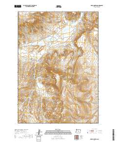 2020 Gerry Mountain2020 Print · USGSCrook County’s high desert interior is shown here in the early twenty-first century, featuring a landscape shaped by volcanic peaks and seasonal creek beds. Local researchers can trace the routes of Camp Creek Rd or locate landmarks like Gerry Mtn and Yank Gulch.
 - 2020 Map of Hampton Butte, 2020 Print
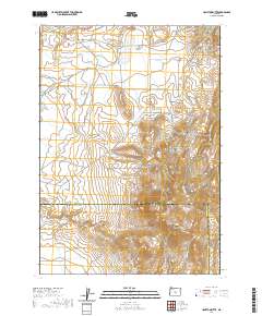 2020 Hampton Butte2020 Print · USGSHigh desert terrain along the border of Crook and Deschutes counties is captured in this recent survey. Researchers can trace historic routes like Van Lake Rd and locate landmarks such as Hampton Buttes and Yank Gulch.
 - 2020 Map of Mackey Butte, 2020 Print
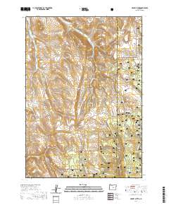 2020 Mackey Butte2020 Print · USGSCrook and Harney counties meet in this high-desert rangeland within the Ochoco National Forest during the early twenty-first century. Researchers can trace the water-management history of this arid terrain via Freezeout Reservoir, Morris Meadows, and O'Keefe Reservoir.
 - 2020 Map of Logan Butte, 2020 Print
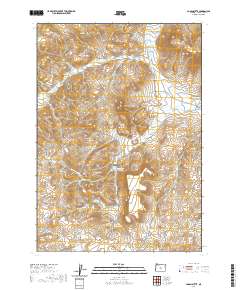 2020 Logan Butte2020 Print · USGSCrook County’s high-desert landscape appears in sharp detail during the early 21st century, showing a remote ranching and grazing region. Local history enthusiasts can locate the Barnes Cem and trace the drainage patterns of W Fork Camp Cr and Middle Fork Camp Cr.
 - 2020 Map of Hampton, 2020 Print
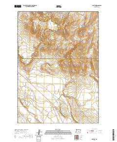 2020 Hampton2020 Print · USGSCentral Oregon's high desert reaches are captured in this recent survey of the transition between the basin floor and northern uplands. Genealogists and local historians can trace the remote settlement of Hampton and the rugged ascent of the Hampton Buttes.
 - 2020 Map of Derr Meadows, 2020 Print
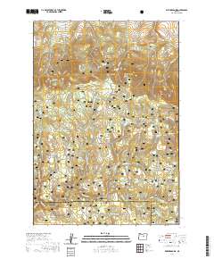 2020 Derr Meadows2020 Print · USGSThe Oregon high country along the Crook and Wheeler county border is captured here in the contemporary era. Researchers can locate the site of the Camp Watson Cem and trace seasonal water sources like Barnhouse Spring and Collins Reservoir.
 - 2020 Map of Maupin Butte, 2020 Print
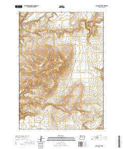 2020 Maupin Butte2020 Print · USGSCrook County at the start of the 2020s remains a landscape of high-desert tables and critical water sources. Researchers can trace land-use patterns and family landmarks across Twelvemile Table, Maupin Spring, and Homestead Butte.
 - 2020 Map of Steins Pillar, 2020 Print
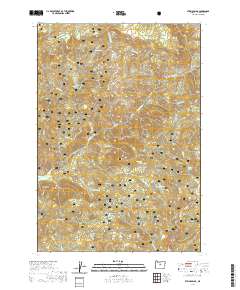 2020 Steins Pillar2020 Print · USGSThe high Ochoco Mountains of central Oregon are mapped here in the modern era, showing the protected lands of the Ochoco National Forest. Trace the distinct volcanic geography of the region through landmarks like Steins Pillar, the Twin Pillars, and Desolation Canyon.
 - 2020 Map of Arrowwood Point, 2020 Print
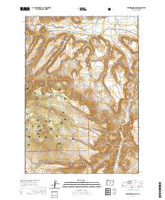 2020 Arrowwood Point2020 Print · USGSCrook County high desert and timberlands are captured here in the 2020s, showing the transition from river valleys to the heights of the Ochoco National Forest. Researchers can locate the Maury Mountain Cem and trace water management at Mainline Reservoir Number 2 near Maury Mountain.
 - 2020 Map of Horse Butte, 2020 Print
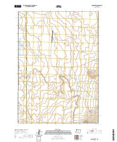 2020 Horse Butte2020 Print · USGSDeschutes and Crook counties meet in this high desert landscape during the early 2020s. Researchers can trace the ranching and aviation history at Goering Ranches / Crocheta Airport Estates or locate landmarks like Horse Butte and Zell Pond.
 - 2020 Map of Keys Creek, 2020 Print
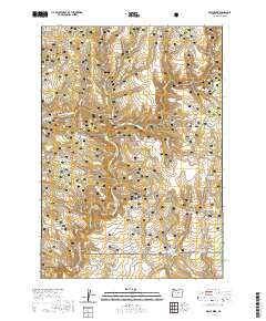 2020 Keys Creek2020 Print · USGSCrook County ranching and forest lands are centered here in the 2020s, showing the vital network of upland water sources and timber roads. Researchers can trace the drainage of Keys Cr and locate high-desert landmarks like Cary Reservoir and Paulina Reservoir.
 - 2020 Map of Bowman Dam, 2020 Print
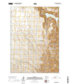 2020 Bowman Dam2020 Print · USGSCrook County is defined by the massive infrastructure of Bowman Dam and the high desert plateaus during the 2020s. Researchers can trace rural development through family-named routes and the grid of tree-named lanes like Redwood Ln and Acacia Ln near the Agape Farm Airport.
 - 2020 Map of Mount Pisgah, 2020 Print
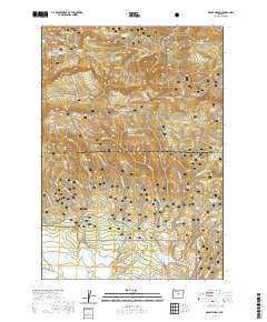 2020 Mount Pisgah2020 Print · USGSThe high Ochoco Mountains meet the expansive Big Summit Prairie in this recent survey of the Wheeler and Crook county line. Researchers can trace seasonal trails like Snomobile #2 (Snow) and find remote water sources like Yellowjacket Reservoir and Pisgah Spring.
 - 2020 Map of Lookout Mountain, 2020 Print
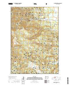 2020 Lookout Mountain2020 Print · USGSThe high peaks of Crook County's Ochoco National Forest are shown here as they appeared in 2020. Miners and researchers can trace historical extraction at the Mother Lode Mine and Independent Mine, or locate high meadows like Big Summit Prairie.
 - 2020 Map of Prairie Hill, 2020 Print
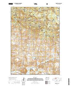 2020 Prairie Hill2020 Print · USGSHigh-desert ranchlands and timbered ridges in Crook County meet here along the banks of the Crooked River. Researchers can trace the water-dependent geography of the region through landmarks like the Shotgun Ranch Airstrip, Dick Reservoir, and Black Chunk Canyon.
 - 2020 Map of Houston Lake, 2020 Print
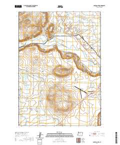 2020 Houston Lake2020 Print · USGSPrineville and its surrounding ranchlands are shown at the start of the 2020s as the high-desert landscape continues its modern evolution. Researchers can trace the complex network of water rights through the Peoples Irrigation Company Ditch and locate local landmarks like Grass Butte or Little Houston Lake.
 - 2020 Map of Six Corners, 2020 Print
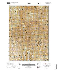 2020 Six Corners2020 Print · USGSThe high Ochoco country of central Oregon is documented here in the modern era, showing a landscape shaped by forest management and ranching. Genealogists and historians can trace family-named landmarks and essential water sources like Potter Meadows, Six Corners, and Hornet Reservoir.
Showing maps 1-25 of 146
Top cities of Crook County
Frequently asked questions
- What are the different types of historical maps available for Crook County?
- What is the oldest map of Crook County?
- Where can I purchase historical maps of Crook County for my home or office?
- Where can I download high-res historical maps of Crook County?
- Are there historical topographic maps available for Crook County?
- Is there historical aerial imagery available for Crook County?
- Where are historical maps of Crook County sourced from?