2010s Maps of Crook County, Oregon
Explore 219 historic maps of Crook County from the 2010s. These maps offer a rare glimpse into what life looked like during the 2010s — showing old roads, neighborhoods, homes, and landmarks that have changed or disappeared over time.
Whether you're researching your family's past, planning a metal detecting trip, or studying how Crook County's landscape evolved across the 2010s, these high-resolution maps are a powerful tool for exploring the history of this region.
- Focus on a specific era: All maps on this page are from the 2010s, giving you a focused view of this time period.
- See what’s changed: Compare century-old streets, trails, and buildings to today's modern landscape using overlays and satellite layers.
- Research with precision: Use these maps for genealogy, historical research, land use analysis, or educational projects.
- View, download, or print: Maps are fully viewable online in high resolution, and can be downloaded or printed for your own records.
Start exploring Crook County's history through authentic maps from the 2010s. This is your window into the past.
Crook County, OR maps
(219)- 2011 Map of Pringle Flat, 2011 Print
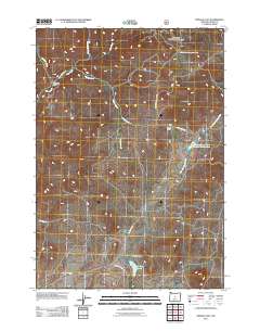 2011 Pringle Flat2011 Print · USGSCrook County ranching life is documented here during the early twenty-first century, showing the remote homesteads and vital water infrastructure of the high desert. Researchers can trace land use at McCormack Ranch and Rickman Ranch or locate the Pringle Flat Reservoir.
 - 2011 Map of Mackey Butte, 2011 Print
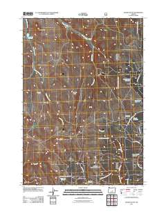 2011 Mackey Butte2011 Print · USGSHigh desert ranching and water management in central Oregon are on full display in this early twenty-first-century survey. Researchers can trace land use patterns through family-named sites like McIntosh Ranch and a dense network of upland water sources including Freezeout Reservoir and Gravelly Flat Reservoir.
 - 2011 Map of Gerow Butte, 2011 Print
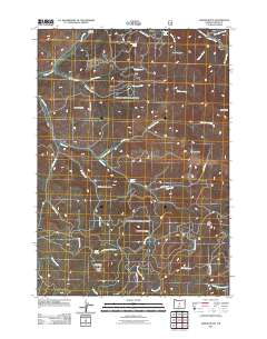 2011 Gerow Butte2011 Print · USGSCrook County’s high-elevation landscape is documented here in the early twenty-first century, showing a remote region of buttes and forest roads. Researchers can locate the Howard Cemetery and trace the drainage of Ochoco Creek near the Gerow Butte Lookout Tower.
 - 2011 Map of Post, 2011 Print
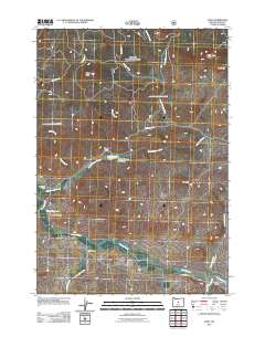 2011 Post2011 Print · USGSThe ranching landscape of central Oregon comes into focus in this early 21st-century survey of Crook County. Genealogists and local historians can trace family-held lands like Bonnieview Ranch and Bootan Ranch while locating the central Post Post Office along the Crooked River.
 - 2011 Map of Whistler Point, 2011 Print
 2011 Whistler Point2011 Print · USGSThe Ochoco Mountains high country is captured here during the early twenty-first century, showing a landscape of forest camps and mountain passes. Researchers can locate the Howard Cemetery and trace early routes like the Old Ochoco Hwy near Marks Creek Lodge.
 - 2011 Map of Grizzly Mountain, 2011 Print
 2011 Grizzly Mountain2011 Print · USGSJefferson County ranchlands are documented here in the early twenty-first century, showing a landscape defined by high-elevation peaks and seasonal creeks. Researchers can trace family history at the Grizzly Cemetery or locate historic holdings like Negus Ranch and Joe Fisher Ranch.
 - 2011 Map of Rabbit Valley, 2011 Print
 2011 Rabbit Valley2011 Print · USGSCrook County ranching lands are documented here in the early twenty-first century, showing a complex system of high-desert water management. Trace local landmarks like the Isadore Ranch and an array of reservoirs including Merwin Reservoir Number 2 and Clover Creek Reservoir.
 - 2011 Map of Steins Pillar, 2011 Print
 2011 Steins Pillar2011 Print · USGSCrook County’s forested ridges and high-desert terrain are captured here in the early 21st century, showing a landscape defined by timber and water. You can trace the backcountry roads to landmarks like Steins Pillar, Cayuse Forest Camp, and the remote Twin Pillars.
 - 2011 Map of Peterson Point, 2011 Print
 2011 Peterson Point2011 Print · USGSHigh-desert drainages and mountain peaks characterize this Crook County landscape as it appeared in the early 21st century. Researchers can trace numerous family-named landmarks and water sources like Dick Nickolas Spring, Woodin Spring, and the Lonesome Spring Campground.
 - 2011 Map of Arrowwood Point, 2011 Print
 2011 Arrowwood Point2011 Print · USGSCrook County ranching and water management are front and center in this modern topographic study of the Oregon high plateau. Trace the flow of the Crooked River and locate historic landholdings such as Glenn Ranch and Severance Ranch near the Mainline Dams.
 - 2011 Map of Lookout Mountain, 2011 Print
 2011 Lookout Mountain2011 Print · USGSCrook County at the turn of the decade is documented here as a high-country wilderness defined by peaks and springs. Researchers can trace the winding forest road network to landmarks like Winter Butte, Gray Prairie, and the Canyon Creek Campground.
 - 2011 Map of Conant Basin, 2011 Print
 2011 Conant Basin2011 Print · USGSMajor County, Oklahoma, featured a robust network of rural schools and churches centered around Fairview in the 1970s. Genealogists can trace family history through sites like the Fairview Cemetery and the Progressive Sch.
 - 2011 Map of Foley Butte, 2011 Print
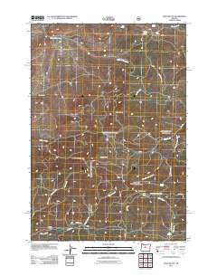 2011 Foley Butte2011 Print · USGSJefferson County in the early 21st century remains a landscape of high summits and essential water sources. You can trace fire-watch history at Foley Butte Lookout Tower or locate remote watering points like Rainbow Trough Spring and Butte Spring.
 - 2011 Map of Salt Butte, 2011 Print
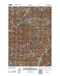 2011 Salt Butte2011 Print · USGSCrook County ranching and forest lands are mapped here in the early twenty-first century, showing a landscape shaped by remote springs and camps. Researchers can locate named sites like Cow Camp Cabin, Slayton Corral, and the Brennan Palisades.
 - 2011 Map of Keys Creek, 2011 Print
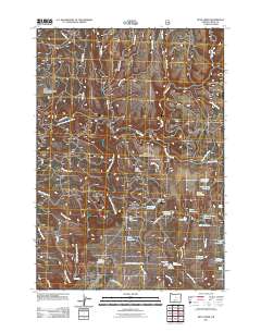 2011 Keys Creek2011 Print · USGSCrook County’s high-desert ranching and forest lands are shown here in the early 21st century, centered on the North Fork Crooked River. Researchers can trace remote water resources like Paulina Reservoir and the Cold Spring Guard Station Landing Field.
 - 2011 Map of Mount Pisgah, 2011 Print
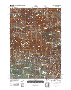 2011 Mount Pisgah2011 Print · USGSMount Pisgah and the surrounding Ochoco highlands are mapped in the early twenty-first century, showing a landscape defined by forest roads and remote camps. Researchers can trace the layout of high-elevation sites like Wineburger Camp, Badger Cabin, and the Allen Creek Horse Camp.
 - 2011 Map of Ochoco Reservoir, 2011 Print
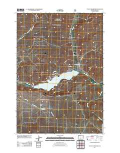 2011 Ochoco Reservoir2011 Print · USGSCrook County water management and rural geography are on full display in the early twenty-first century. Researchers can locate the Mill Creek Cemetery and trace the complex hydrology of Ochoco Reservoir and Yancey Reservoir.
 - 2011 Map of Dutchman Creek, 2011 Print
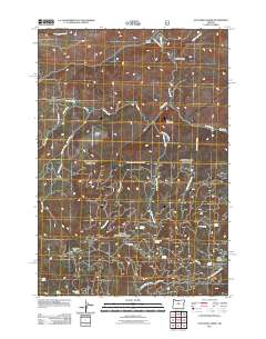 2011 Dutchman Creek2011 Print · USGSJefferson County’s high country is captured here in the early 2000s, showing a landscape defined by timber roads and vital water sources. Researchers can locate remote landmarks like the Trout Creek Cow Camp, Cat Mountain, and numerous named springs such as Ruth Spring.
 - 2011 Map of Committee Creek, 2011 Print
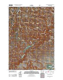 2011 Committee Creek2011 Print · USGSCrook County ranching and water management are front and center in this modern survey of the Oregon high desert. Local historians and land researchers can trace old routes like Williams Prairie Rd to landmarks such as Teaters Ranch and Hole-in-the-Ground Reservoir.
 - 2011 Map of Williams Prairie, 2011 Print
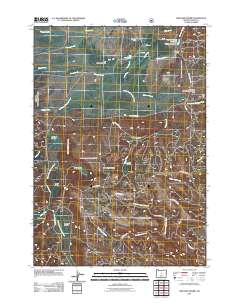 2011 Williams Prairie2011 Print · USGSCrook County ranching and forest lands are captured here in the early 2000s, showing a landscape of high-country meadows. Local historians can trace the irrigation networks of Gili Ditch or locate the Cold Spring Guard Station Landing Field and Howard Ranch.
 - 2011 Map of Opal Mountain, 2011 Print
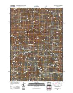 2011 Opal Mountain2011 Print · USGSJefferson County’s high forest plateaus are captured here during the early twenty-first century. Researchers can trace land use through seasonal sites like Symons Wood Camp, geographic markers such as McKay Saddle, and remote outposts like Divide Cabin.
 - 2011 Map of Ochoco Butte, 2011 Print
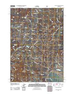 2011 Ochoco Butte2011 Print · USGSCrook County’s forested highlands are captured here during a period of active land management and high-country recreation. Map collectors and historians can trace the paths to Scissorsville, Walton Lake, and specialized sites like the Ochoco Divide Research Area.
 - 2011 Map of Prairie Hill, 2011 Print
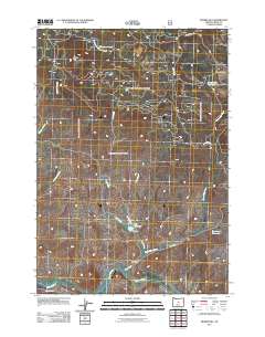 2011 Prairie Hill2011 Print · USGSCrook County ranching and water management are the focus of this early twenty-first-century survey of the high desert. Researchers can trace the drainage patterns of the Crooked River and locate remote landmarks like Dick Ranch and Horse Prairie.
 - 2011 Map of Cadle Butte, 2011 Print
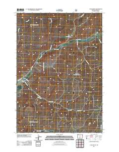 2011 Cadle Butte2011 Print · USGSCrook County ranching country is documented here in the early twenty-first century, showing a landscape of high buttes and complex creek systems. Researchers can trace land use through named sites like Keystone Ranch and Dixie Meadows or follow the waters of Ochoco Creek.
 - 2011 Map of Hensley Butte, 2011 Print
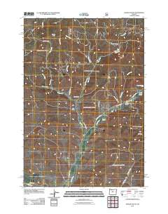 2011 Hensley Butte2011 Print · USGSJefferson County ranching and forest lands are detailed here during the early twenty-first century. Researchers can trace land boundaries near Elliot Ranch or locate geographic landmarks such as Little Table Mountain and McKay Creek Forest Camp.
Showing maps 1-25 of 219
Top cities of Crook County
Frequently asked questions
- What are the different types of historical maps available for Crook County?
- What is the oldest map of Crook County?
- Where can I purchase historical maps of Crook County for my home or office?
- Where can I download high-res historical maps of Crook County?
- Are there historical topographic maps available for Crook County?
- Is there historical aerial imagery available for Crook County?
- Where are historical maps of Crook County sourced from?