1990s Maps of Josephine County, Oregon
Explore 45 historic maps of Josephine County from the 1990s. These maps offer a rare glimpse into what life looked like during the 1990s — showing old roads, neighborhoods, homes, and landmarks that have changed or disappeared over time.
Whether you're researching your family's past, planning a metal detecting trip, or studying how Josephine County's landscape evolved across the 1990s, these high-resolution maps are a powerful tool for exploring the history of this region.
- Focus on a specific era: All maps on this page are from the 1990s, giving you a focused view of this time period.
- See what’s changed: Compare century-old streets, trails, and buildings to today's modern landscape using overlays and satellite layers.
- Research with precision: Use these maps for genealogy, historical research, land use analysis, or educational projects.
- View, download, or print: Maps are fully viewable online in high resolution, and can be downloaded or printed for your own records.
Start exploring Josephine County's history through authentic maps from the 1990s. This is your window into the past.
Josephine County, OR maps
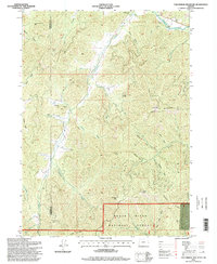
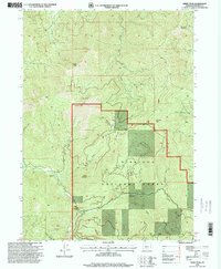
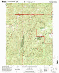
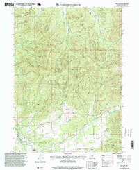
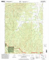
(45)- 1990 Map of Dutchman Butte
 1990 Dutchman Butte1990 Print · USGSThe Douglas and Josephine county lines meet in this high timber country during the late twentieth century. Trace the rugged drainage of West Fork Cow Creek to find remote landmarks like Dutchman Lookout, Ninemile Spring, and the Goat Trail.
 - 1993 Map of Gold Beach
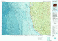 1993 Gold Beach1993 Print · USGSThe Oregon coast at the end of the twentieth century reveals a landscape of river-mouth settlements and deep wilderness. Trace the coastal developments of Gold Beach and Brookings or explore the interior peaks of the Kalmiopsis Wilderness.2 unique versions available
 - 1996 Map of Tallowbox Mountain, 1998 Print
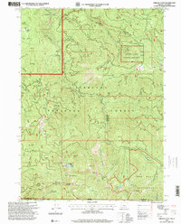
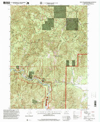
 1996 Tallowbox Mountain1998 Print · USGSThe Josephine and Jackson County line runs through this mountainous terrain in the late nineties. Genealogists and historians can locate old mining sites like the Star Mine and Maid of the Mist Mine or trace family landmarks such as Jim Mee Peak.
 - 1996 Map of Carberry Creek, 1998 Print
 1996 Carberry Creek1998 Print · USGSThe Oregon-California borderlands were a landscape of active mining and mountain ranching in the late twentieth century. Genealogists and historians can trace the Steamboat (Site), locate the Steamboat Mine, or find the secluded Cem near Applegate Lake.
 - 1996 Map of Grayback Mountain, 1998 Print
 1996 Grayback Mountain1998 Print · USGSThe high divide between the Rogue River and Siskiyou National Forests is captured here in the late twentieth century. Researchers can trace the heritage of local mining and remote settlement at the Browntown site, the Mountain View Mine, and Krause Cabin.
 - 1996 Map of Kerby Peak, 1999 Print
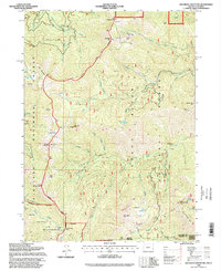
 1996 Kerby Peak1999 Print · USGSSouthern Oregon's high-country terrain is captured here in the mid-nineties as resource management and mining history overlap. Researchers can trace the geography of old workings like the Boswell Mine or locate landmarks such as the Gaging Station on Sucker Creek.
 - 1996 Map of Oregon Caves, 1999 Print
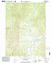
 1996 Oregon Caves1999 Print · USGSThe high Siskiyou Mountains of Josephine County are captured here in the mid-1990s, showcasing a landscape where national monuments and wilderness meet. Researchers can trace historic mining operations at the Rainbow Mine or Gypsy Queen Mine and locate early settlements like California Bar.
 - 1996 Map of Murphy Mountain, 1999 Print
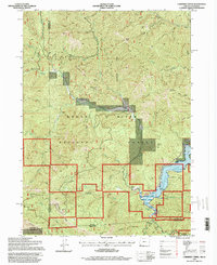
 1996 Murphy Mountain1999 Print · USGSThe foothills of Josephine County are captured here in the late twentieth century, showing a landscape shaped by timber, mining, and the winding Applegate River. Researchers can trace the path of the Packers Creek Trail or locate technical sites like the Lookout Round Top and several family-named gulches and creeks.
 - 1996 Map of O'Brien, 1999 Print
 1996 O'Brien1999 Print · USGSSouthern Josephine County in the mid-1990s reveals a landscape deeply shaped by its mining heritage and river systems. Researchers can trace the legacy of the gold rush at Waldo, the Esterly Mine, and the hydraulic workings of French Flat.
 - 1996 Map of Onion Mountain, 1999 Print
 1996 Onion Mountain1999 Print · USGSJosephine County during the 1990s was a landscape defined by industrial forestry and legacy mining operations within the Siskiyou National Forest. Researchers can trace the footprint of the Buckeye Mine, locate remote water sources like Rattlesnake Spring, and explore the high ridges around Onion Mountain.
 - 1996 Map of Murphy, 1999 Print
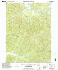
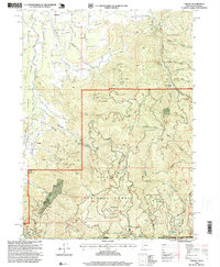
 1996 Murphy1999 Print · USGSJosephine County in the late nineties shows a landscape of river-valley agriculture and high-country mining activity. Researchers can trace historic claims like the Humdinger Mine and Oregon Bonanza Mine or locate the rural centers of Murphy and New Hope.
 - 1996 Map of Eight Dollar Mountain, 1999 Print
 1996 Eight Dollar Mountain1999 Print · USGSThe Illinois River canyon and the surrounding Josephine County wilderness are captured here during the late nineties. Researchers can trace the legacy of regional mining at the Eureka Mine and locate landmarks like Eight Dollar Mountain and Spalding Pond.
 - 1996 Map of Grants Pass, 1999 Print
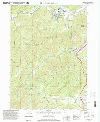
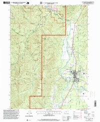
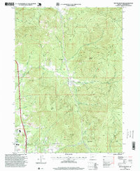
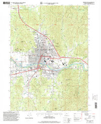 1996 Grants Pass1999 Print · USGSGrants Pass transitioned through the late twentieth century as a bustling river town surrounded by historic gold and quartz mines. Researchers can trace the development of the Rogue River corridor through landmarks like the Ida Mine, County Fairgrounds, and Croxton-Pioneer Memorial Park.
 - 1996 Map of Holland, 1999 Print
 1996 Holland1999 Print · USGSIn the Josephine County timberlands during the late nineties, small settlements and pioneer history met at the edge of the Illinois Valley. Trace local roots around Holland and Bridgeview or locate the Fort Briggs (Historical Site) near Sucker Creek.
 - 1996 Map of Buckskin Peak, 1999 Print
 1996 Buckskin Peak1999 Print · USGSThe high peaks and deep drainages of the Siskiyou Mountains are documented in the late nineties as this region remained a focus for mineral exploration. Researchers can trace the network of 4WD trails leading to numerous prospects, a Mine Shaft, and isolated spots like Frantz Meadow.
 - 1996 Map of King Mountain, 1999 Print
 1996 King Mountain1999 Print · USGSThe high peaks of southern Oregon were a hub for mineral exploration and modern communications in the mid-1990s. Genealogists and historians can trace old mining claims and landmarks like Quartzmill Peak, Ark Prairie, and a Placer Mine along Grave Creek.
 - 1996 Map of Wilderville, 1999 Print
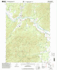
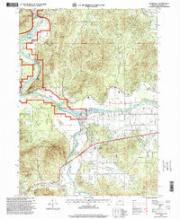 1996 Wilderville1999 Print · USGSThe Josephine County riverfront in the mid-nineties shows a landscape of established communities and active waterways. Researchers can locate the Wilderville settlement and Cemetery, or trace water features like the Main Canal and the Applegate River.
 - 1996 Map of Glendale, 1999 Print
 1996 Glendale1999 Print · USGSThe rugged canyonlands of southern Oregon are captured here in the late twentieth century, showing the mining and timber landscapes of Glendale and Wolf Creek. Researchers can locate historic gold claims like Steam Beer Placer and Glory Hole Placer, or trace local landmarks such as the Covered Bridge.
 - 1996 Map of Selma, 1999 Print
 1996 Selma1999 Print · USGSNear the close of the twentieth century, the area around Selma remained a mix of forest service land and rural homesteads. Genealogists and historians can trace the Deer Creek Cemetery, the Anderson Station site, and the road over Hayes Hill.
 - 1996 Map of Williams, 1999 Print
 1996 Williams1999 Print · USGSThe Josephine County backcountry comes into focus in the mid-1990s as the community of Williams transitions into the protected forest lands. Genealogists and historians can trace old resource sites like the Red Rose Mine, the Jones Marble Quarry, and the former location of Caves Camp.
 - 1996 Map of Wimer, 1999 Print
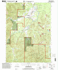
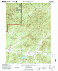
 1996 Wimer1999 Print · USGSEvans Valley at the close of the twentieth century shows a landscape where timber and agriculture meet. Genealogists and historians can trace local landmarks like Wimer, the Pleasant Creek Forest Station, and the private Spring Brook Airport.
 - 1996 Map of Polar Bear Mountain, 1999 Print
 1996 Polar Bear Mountain1999 Print · USGSThe high Siskiyou crests at the turn of the millennium show a landscape of remote wilderness and early mining claims. Trace historical backcountry sites like Offield Mine, Porters Camp, and the high-elevation basin at Poker Flat.
 - 1996 Map of Takilma, 1999 Print
 1996 Takilma1999 Print · USGSMining and timber define the Illinois Valley in the late twentieth century as it straddles the California border. Historians can trace extraction sites like the Queen of Bronze Mine and Ponyhoe Mine or locate the historic Browntown (Site).
 - 1996 Map of Cave Junction, 1999 Print
 1996 Cave Junction1999 Print · USGSThe Illinois Valley in the mid-1990s reflects a balance of historic mining and modern preservation. Trace the legacy of old claims along Days Gulch and locate local landmarks such as Kerby, Laurel Cemetery, and the Pomeroy Dam.
 - 1996 Map of Sexton Mountain, 1999 Print
 1996 Sexton Mountain1999 Print · USGSJosephine County’s mountain mining districts are captured here in the late nineties, showing a landscape shaped by gold and timber. Genealogists and historians can trace the locations of sites like Winona, the Lucky Queen Mine, and the historic Schoolhouse near the creek beds.
Showing maps 1-25 of 45
Top cities of Josephine County
Frequently asked questions
- What are the different types of historical maps available for Josephine County?
- What is the oldest map of Josephine County?
- Where can I purchase historical maps of Josephine County for my home or office?
- Where can I download high-res historical maps of Josephine County?
- Are there historical topographic maps available for Josephine County?
- Is there historical aerial imagery available for Josephine County?
- Where are historical maps of Josephine County sourced from?