2000s (21st Century) Maps of Josephine County, Oregon
Explore 190 historic maps of Josephine County from the 2000s (21st Century). These maps offer a rare glimpse into what life looked like during the 2000s — showing old roads, neighborhoods, homes, and landmarks that have changed or disappeared over time.
Whether you're researching your family's past, planning a metal detecting trip, or studying how Josephine County's landscape evolved across the 2000s, these high-resolution maps are a powerful tool for exploring the history of this region.
- Focus on a specific era: All maps on this page are from the 2000s, giving you a focused view of this time period.
- See what’s changed: Compare century-old streets, trails, and buildings to today's modern landscape using overlays and satellite layers.
- Research with precision: Use these maps for genealogy, historical research, land use analysis, or educational projects.
- View, download, or print: Maps are fully viewable online in high resolution, and can be downloaded or printed for your own records.
Start exploring Josephine County's history through authentic maps from the 2000s. This is your window into the past.
Josephine County, OR maps
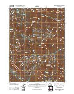
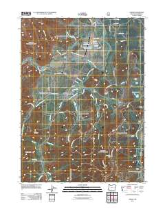
(190)- 2001 Map of Deadman Point, 2004 Print
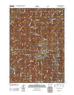
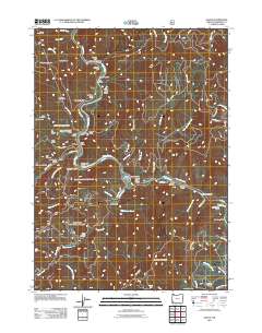
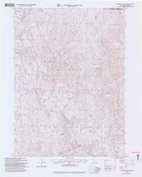 2001 Deadman Point2004 Print · USGSThe Siskiyou mountain borderlands at the turn of the millennium reveal a rugged landscape of ridges and remote mining claims. Genealogists and historians can trace the paths of Grayback Road to the Ruby Mine, Classic H Mine, and localized prospects near Deadman Point.2 unique versions available
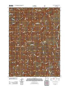
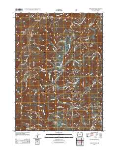
 - 2011 Map of Big Craggies, 2011 Print
 2011 Big Craggies2011 Print · USGSCovers Josephine County, including Curry County, United States, and other nearby areas
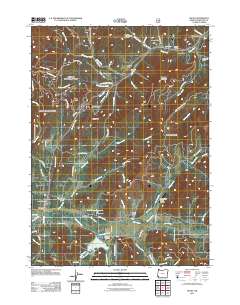
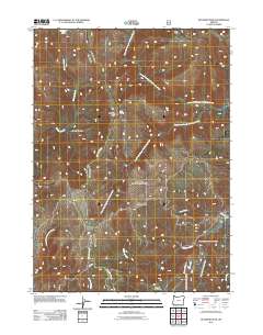
 - 2011 Map of Cave Junction, 2011 Print
 2011 Cave Junction2011 Print · USGSCovers Josephine County, including Cave Junction, Kerby, and other nearby areas
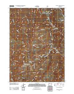
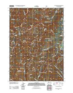
 - 2011 Map of Kelsey Peak, 2011 Print
 2011 Kelsey Peak2011 Print · USGSCovers Josephine County, including Curry County, United States, and other nearby areas
 - 2011 Map of Grayback Mountain, 2011 Print
 2011 Grayback Mountain2011 Print · USGSCovers Josephine County, including Siskiyou County, United States, and other nearby areas
 - 2011 Map of Silver Peak, 2011 Print
 2011 Silver Peak2011 Print · USGSCovers Josephine County, including Curry County, United States, and other nearby areas
 - 2011 Map of Selma, 2011 Print
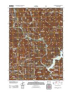
 2011 Selma2011 Print · USGSCovers Josephine County, including Wonder, Selma, and other nearby areas
 - 2011 Map of Pearsoll Peak, 2011 Print
 2011 Pearsoll Peak2011 Print · USGSCovers Josephine County, including Curry County, United States, and other nearby areas
 - 2011 Map of York Butte, 2011 Print
 2011 York Butte2011 Print · USGSCovers Josephine County, including United States, Oregon, and other nearby areas
 - 2011 Map of Hobson Horn, 2011 Print
 2011 Hobson Horn2011 Print · USGSCovers Josephine County, including Curry County, United States, and other nearby areas
 - 2011 Map of Eight Dollar Mountain, 2011 Print
 2011 Eight Dollar Mountain2011 Print · USGSCovers Josephine County, including United States, Oregon, and other nearby areas
 - 2011 Map of Josephine Mountain, 2011 Print
 2011 Josephine Mountain2011 Print · USGSCovers Josephine County, including Curry County, United States, and other nearby areas
 - 2011 Map of O'Brien, 2011 Print
 2011 O'Brien2011 Print · USGSCovers Josephine County, including O'Brien, United States, and other nearby areas
 - 2011 Map of Chrome Ridge, 2011 Print
 2011 Chrome Ridge2011 Print · USGSCovers Josephine County, including United States, Oregon, and other nearby areas
 - 2011 Map of Buckskin Peak, 2011 Print
 2011 Buckskin Peak2011 Print · USGSCovers Josephine County, including Curry County, United States, and other nearby areas
 - 2011 Map of Onion Mountain, 2011 Print
 2011 Onion Mountain2011 Print · USGSCovers Josephine County, including United States, Oregon, and other nearby areas
 - 2011 Map of Galice, 2011 Print
 2011 Galice2011 Print · USGSCovers Josephine County, including Galice, Rand, and other nearby areas
 - 2011 Map of Carberry Creek, 2011 Print
 2011 Carberry Creek2011 Print · USGSCovers Josephine County, including Jackson County, Siskiyou County, and other nearby areas
 - 2011 Map of Golden, 2011 Print
 2011 Golden2011 Print · USGSCovers Josephine County, including Golden, Placer, and other nearby areas
 - 2011 Map of Grants Pass, 2011 Print
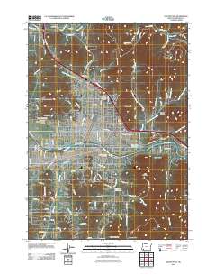 2011 Grants Pass2011 Print · USGSCovers Josephine County, including Grants Pass, Fruitdale, and other nearby areas
 - 2011 Map of Merlin, 2011 Print
 2011 Merlin2011 Print · USGSCovers Josephine County, including Hugo, Three Pines, and other nearby areas
 - 2011 Map of Dutchman Butte, 2011 Print
 2011 Dutchman Butte2011 Print · USGSCovers Josephine County, including Douglas County, Curry County, and other nearby areas
 - 2011 Map of Murphy, 2011 Print
 2011 Murphy2011 Print · USGSCovers Josephine County, including Murphy, New Hope, and other nearby areas
 - 2011 Map of Sexton Mountain, 2011 Print
 2011 Sexton Mountain2011 Print · USGSCovers Josephine County, including United States, Oregon, and other nearby areas
 - 2011 Map of Wilderville, 2011 Print
 2011 Wilderville2011 Print · USGSCovers Josephine County, including Grants Pass, Wilderville, and other nearby areas
Showing maps 1-25 of 190
Top cities of Josephine County
Frequently asked questions
- What are the different types of historical maps available for Josephine County?
- What is the oldest map of Josephine County?
- Where can I purchase historical maps of Josephine County for my home or office?
- Where can I download high-res historical maps of Josephine County?
- Are there historical topographic maps available for Josephine County?
- Is there historical aerial imagery available for Josephine County?
- Where are historical maps of Josephine County sourced from?