Old Maps of Dufur, Oregon for Academic Research
Study the evolution of Dufur with 14 high-resolution historic maps. Whether you're teaching, researching, or modeling changes in land use, these maps provide essential visual documentation of urban, environmental, and geographic change.
- Analyze long-term change: Track patterns in development, transportation, and natural features.
- Ideal for environmental or urban studies: Support academic projects with primary historical map data.
- Use in the classroom or lab: Educators and researchers rely on these maps to bring historical context to life.
These maps are a powerful tool for teaching, research, and visualizing how Dufur has changed over the decades.
Dufur, OR maps
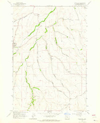
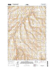
(14)- 1930 Map of Dufur, 1945 Print
 1930 Dufur1945 Print · USGSWasco County at the start of the 1930s shows a transition from pioneer wagon routes to a rail-and-ranch economy. Genealogists can locate dozens of country schools like Ireland Sch and early infrastructure including the Barlow Road and the Great Southern Railroad.2 unique versions available
 - 1934 Map of Dufur
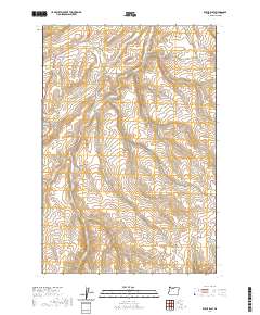
 1934 Dufur1934 Print · USGSWasco County during the mid-1930s reveals a landscape of high plateaus and river canyons shaped by pioneering roads and rail. Genealogists can trace family roots through a dense network of rural schoolhouses like Kelly Sch and Wolf Run Sch, or follow the path of the historic Barlow Road.2 unique versions available
 - 1953 Map of The Dalles, 1965 Print
 1953 The Dalles1965 Print · USGSThe Columbia River Gorge at mid-century shows a region being transformed by massive hydroelectric dams and a growing highway network. Researchers can trace the development of The Dalles Dam, locate the Maryhill Museum, and find old rail stops in Rufus, Wishram, and Arlington.3 unique versions available
 - 1956 Map of The Dalles
 1956 The Dalles1956 Print · USGSThe Columbia River Gorge and the high Cascades are captured in the mid-1950s, showing a vital corridor of rail and road. Researchers can trace the original path of The Old Oregon Trail or locate historical landmarks like the Maryhill Museum and Mount Hood.
 - 1957 Map of The Dalles
 1957 The Dalles1957 Print · USGSThe Columbia River Gorge and the high plateaus of the mid-1950s come alive on this detailed survey of northern Oregon and southern Washington. Researchers can trace the path of the Oregon Trail and The Old Barlow Road alongside river towns like The Dalles and Wishram.
 - 1962 Map of Dufur East, 1964 Print
 1962 Dufur East1964 Print · USGSDufur and the surrounding Wasco County canyons are captured in the early sixties as they balanced high-desert agriculture with established township life. Genealogists and local historians can trace family locations near the IOOF Cem, the Nansene Community Hall, and the small settlement of Boyd.2 unique versions available
 - 1962 Map of Dufur West, 1964 Print
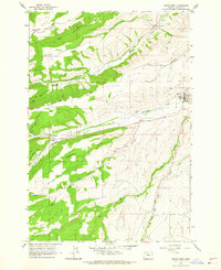 1962 Dufur West1964 Print · USGSDufur and the Wasco County uplands are captured in the early sixties as a thriving network of mills and high-country farms. Genealogists and local historians can trace family-named landmarks such as the Henderson Pioneer Cem, Ramsey Hall, and Endersby.3 unique versions available
 - 1983 Map of Mount Hood
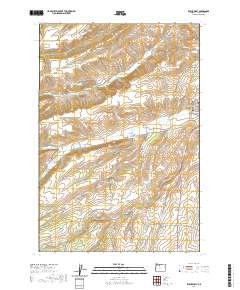
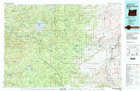 1983 Mount Hood1983 Print · USGSMount Hood and its surrounding national forest are captured here in the early eighties, spanning from alpine glaciers to the high desert plains. Genealogists and historians can trace old routes like the Barlow Road and locate remote landmarks like Bear Springs Ranger Sta or the settlement of Tygh Valley.
 - 2011 Map of Dufur East, 2011 Print
 2011 Dufur East2011 Print · USGSCovers Dufur, including Nansene, Boyd, and other nearby areas
 - 2014 Map of Dufur East, 2014 Print
 2014 Dufur East2014 Print · USGSCovers Dufur, including Nansene, Boyd, and other nearby areas
 - 2020 Map of Dufur East, 2020 Print
 2020 Dufur East2020 Print · USGSCovers Dufur, including Nansene, Boyd, and other nearby areas
 - 2020 Map of Dufur West, 2020 Print
 2020 Dufur West2020 Print · USGSCovers Dufur, including Wasco County, United States, and other nearby areas
 - 2023 Map of Dufur East, 2023 Print
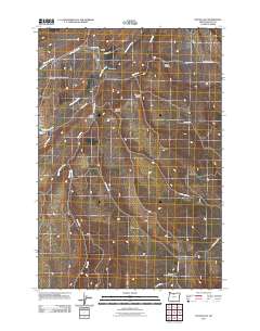
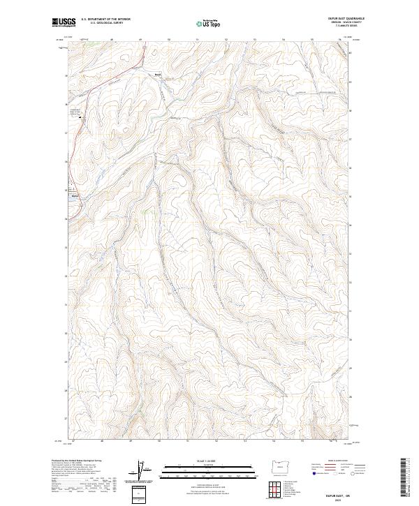 2023 Dufur East2023 Print · USGSWasco County's high wheat country is captured in this modern survey of the landscapes surrounding Dufur and Boyd. Researchers can trace old family holdings near the Independent Order of Odd Fellows Cem or follow the paths of Fifteenmile Creek and Easton Canyon.
 - 2024 Map of Dufur West, 2024 Print
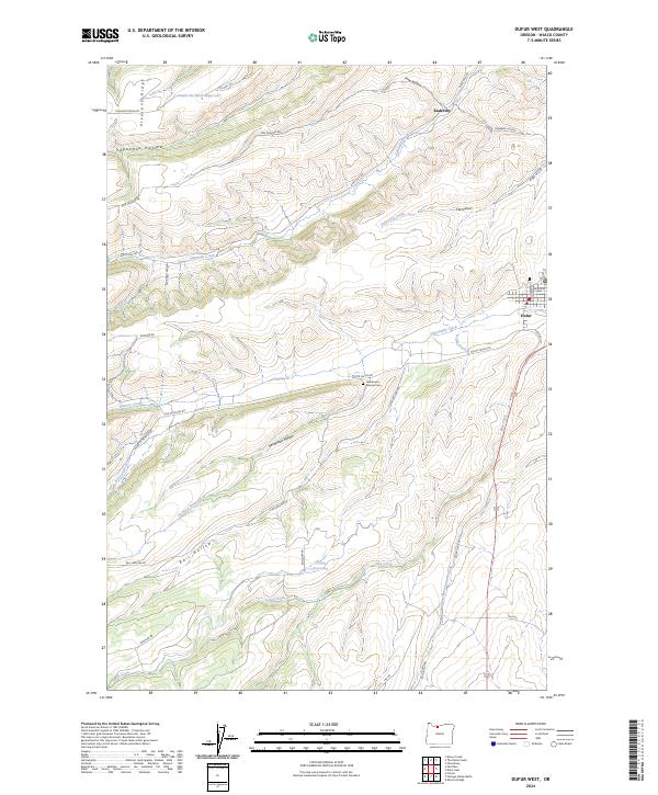 2024 Dufur West2024 Print · USGSThe foothills of the Cascades in Wasco County appear here in a contemporary context of orchard farming and historic family homesteads. Researchers can trace the legacy of early settlers at Henderson Pioneer Cem or explore the drainage systems of Dufur Ditch and Fifteenmile Creek.
End of results
Showing maps 1-14 of 14
Top cities near Dufur
Frequently asked questions
- What are the different types of historical maps available for Dufur?
- What is the oldest map of Dufur?
- Where can I purchase historical maps of Dufur for my home or office?
- Where can I download high-res historical maps of Dufur?
- Are there historical topographic maps available for Dufur?
- Is there historical aerial imagery available for Dufur?
- Where are historical maps of Dufur sourced from?