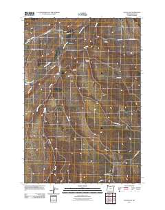
2011 Map of Dufur East
USGS Topo · Published 2011About this map
The agricultural valleys of north-central Oregon define this region, where the town of Dufur sits along the western edge of a landscape carved by drainages like Fifteenmile Creek and Starveout Creek. This survey captures a rural network of ridge roads and deep draws, including Stubb Hollow, Shotgun Hollow, and Long Hollow, which dictate the movement of local travel. For genealogists and local historians, the map identifies specific community anchors such as the Independent Order of Odd Fellows Cemetery near the former rail path and the Nansene Community Hall to the south.
Find a feature on this map
28 named features on this map. Tap any name to fly to it.
Don’t see what you’re looking for? This feature index may not catch every label — zoom into the map to look around manually.
Map Details
Editions of this 2011 Dufur East Map
This is the sole edition of this map. No revisions or reprints were ever made.
Other maps of this area

1930 · Dufur
USGS Topo · 1:125,000

1934 · Dufur
USGS Topo · 1:125,000

1934 · The Dalles
USGS Topo · 1:125,000

1953 · The Dalles
USGS Topo · 1:250,000

1956 · The Dalles
USGS Topo · 1:250,000

1957 · The Dalles
USGS Topo · 1:250,000

1957 · The Dalles
USGS Topo · 1:62,500

1957 · Wishram
USGS Topo · 1:62,500

1962 · Sherars Bridge
USGS Topo · 1:24,000

1962 · Postage Stamp Butte
USGS Topo · 1:24,000