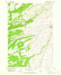
1962 Map of Dufur West
USGS Topo · Published 1964About this map
Dufur and the neighboring settlement of Endersby anchor this early 1960s landscape, where the agricultural traditions of Wasco County are etched into the terrain. The map reveals a complex network of high-country drainage and ridges, most notably Pleasant Ridge and the deeply carved Jap Hollow. Local history is centered around community hubs like Grange Hall and Ramsey Hall, while the presence of the Henderson Pioneer Cem provides a specific point of interest for genealogists tracing early families in the region.
Find a feature on this map
22 named features on this map. Tap any name to fly to it.
Don’t see what you’re looking for? This feature index may not catch every label — zoom into the map to look around manually.
Map Details
Editions of this 1962 Dufur West Map
3 editions found
Other maps of this area

1930 · Dufur
USGS Topo · 1:125,000

1934 · Dufur
USGS Topo · 1:125,000

1934 · The Dalles
USGS Topo · 1:125,000

1953 · The Dalles
USGS Topo · 1:250,000

1956 · The Dalles
USGS Topo · 1:250,000

1957 · The Dalles
USGS Topo · 1:250,000

1957 · The Dalles
USGS Topo · 1:62,500

1957 · White Salmon
USGS Topo · 1:62,500

1962 · Sherars Bridge
USGS Topo · 1:24,000

1962 · Wolf Run
USGS Topo · 1:24,000